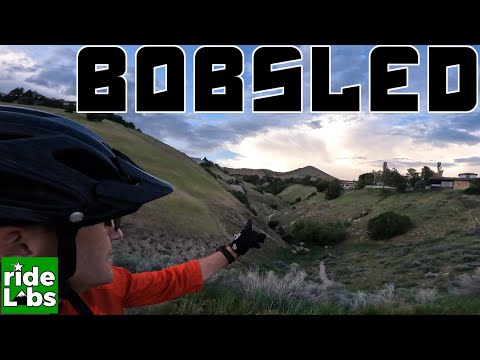
The Bobsled via Bonneville ShorelineThe Bobsled above Salt Lake City is a famous downhill romp, extending from the
Bonneville Shoreline Trail
down to the homes of the Avenues. (Note that there are several Bobsled trails in Utah.) Although it's just one descent option
from the BST, this little trail is so famous, it deserves its own web
page. This twisting, turning downhill runs in
a creekbed, 1000 vertical feet over 1.6 miles. This is strictly a downhill
-- don't even
dream of riding uphill on the Bobsled.

Rob ducks a deadfall as the Bobsled twists and turns. April 30, 2002.

Mule's Ears bloom on the rolling hills above Salt Lake City, on the Bonneville Shoreline Trail en route to the Bobsled. Photo courtesy of Han Kim, May 2003.
Riding the loop requires good aerobic capability for the uphill and advanced technical ability for the downhill. (The old entry to the Bobsled had about 1/4 mile of steep loose rock at the beginning. There's a new trail in 2007 about 1000 feet to the east that's much better.)
Although the BST can be ridden during temporary winter thaws, snow tends to accumulate in the
deep shaded canyon of the Bobsled. Once there's a foot or more of snow, you won't be able to
get through. And in the spring, water may be flowing down the center of the canyon.
There are three ways to get up: via City Creek, via Terrace Hills, or via Dry Gulch and the
Popperton paved trail. The most direct of these routes is to grind up paved Terrace Hills drive.
City Creek Canyon Option (Northern
Loop): Going west on 11th Avenue, keep right onto Bonneville Blvd and go
downhill. Just before the City Creek paved road, find a small parking area
on the right of the road, GPS N 40° 47.388' W 111° 52.709'. There's a stiff climb on
singletrack, 650 vertical feet over the first mile, then a more reasonable
rate of climb. To reach the Bobsled, you'll go
3 miles, with total elevation gain of 1250 feet. Pass the Terrace Hills
access trail, with forks off right downhill on a hairpin left turn at
around mile 2.5.

rolls up from City Creek Canyon as the snowstorm lets up. January 22, 2000
Exactly 1/2 mile after this fork, you'll arrive at a multiple-trail
intersection, where the Bobsled drops off to your right at GPS N 40° 47.859' W 111°
51.223'. (Note 2007: there's a new, easier, more-fun entry
to the Bobsled about 1/4 mile further east.) Drop down the Bobsled 1.6 miles, then turn right onto Chandler. At Terrace Hills,
you can turn uphill for another go at the Bobsled, head for the Terrace Hills
parking lot, or drop downhill to 11th Avenue. At 11th Avenue you can turn right
(then right on Bonneville) to return to the
trailhead in City Creek, or you can turn left if you parked at Popperton Park.
Dry Gulch Option (Southern Loop): Follow 11th Avenue
East until you come to Popperton Park. After parking, pedal east on the
paved bike trail until it drops over the shoulder of the foothill into a
wide gravel area. This is the Dry Gulch trailhead GPS N 40° 46.658' W 111°
50.225'. Turn left and begin climbing the Bonneville Shoreline Trail. At
1.3 miles from the Dry Gulch trailhead, you'll reach a ridgetop at 5650
feet. The Limekiln Gulch trail heads off on the left at GPS N 40° 47.166' W 111°
50.170'.

Looking southwest on the way from Dry Canyon, we're looking down Limekiln Gulch. (This is an alternate descent.)

Heartleaf balsamroot blooms along the trail in the late April sunshine.
Continue straight to mile 3.3. The Bobsled drops into the canyon on your left. After 1.6 miles,
turn right onto Chandler, left on Terrace Hills, left on 11th Avenue and continue east until
you get back to Popperton Park.
Terrace Hills Option
(Short Loop): On 11th Avenue, turn uphill onto Terrace
Hills Drive, then immediately turn left into the parking area. From the parking lot, ride 0.65 mile
up Terrace Hills to the trailhead,
on your right at the dead-end. Climb another 0.3 to reach the BST. Keep right at the fork
(left takes you down to City Creek) and climb southeast
0.5 miles to arrive at the top of the Bobsled, to your right at GPS N 40°
47.859' W 111° 51.223', at a multi-trail intersection.
(Note
2007: there's a new, easier, more-fun entry to the Bobsled about 1/4 mile
further east.)
After the initial spooky steep
loose-rock surf, you have 1.6 miles of twisting fun until you dump out on
Chandler. Turn right to get back to Terrace Hills Drive.
Most riders do a couple of loops through the Bobsled. For variation, you should try a descent
down Dry Gulch, and the steep plunge down the Limekiln Gulch trail. In Dry Gulch, keep your
speed under control so you don't crash into a runner or a dog.
n the northern section of Salt Lake's Bonneville Shoreline, you're riding on alluvial deposits -- a mixture of rock, sand, and dirt washed down from the mountains into Lake Bonneville. Lake Bonneville existed from 1 million years ago until around the end of the Ice Age, 10 thousand years ago.

This is the Place: View of the entrance to the Bobsled. From here, it's 1/4 mile of sliding on steep loose rocky singletrack, then you arrive in heaven - over a mile of twisting, turning banked bobsled run.
Getting there:
At around 5th East on Salt Lake's North Temple, head north uphill on E street. When you reach
11th Avenue, turn left (west) for the City Creek trailhead, right (east) for Terrace Hills
or Dry Gulch. (See trailhead details and GPS under the loop options above.)

Ancient map of Bobsled