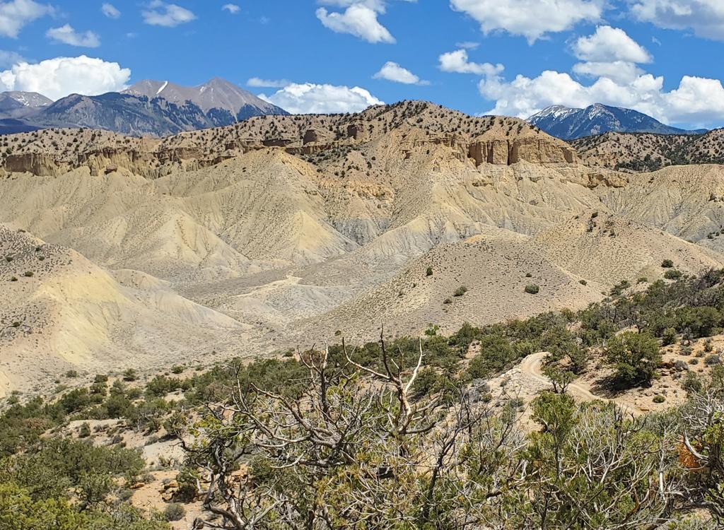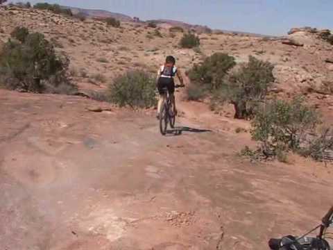

When it was first created, the Sovereign Singletrack quickly became one of the top trails of the Moab area. But as more singletrack trails were created in the area, its popularity has faded. But it's still a decent ride! This narrow singletrack trail combines dirt, open rock, ledges, climbs, and views. Consider this an intermediate to advanced trail, moderately strenuous.
The newer Salt Wash Singletrack to the west of Sovereign is connected to Sovereign in multiple spots, offering many different ride options. Salt Wash actually displaced portions of Sovereign, so in 2008 things got a little more confusing. There are several riding options, depending on your taste for adventure (and on your tolerance for sand).

The 14-mile Dalton Loop runs the singletrack from north to south, returning via an often sandy doubletrack (very fat tires and thighs of steel recommended), or by riding to the highway on Willow Springs Road and heading up to Dalton Wells Road 1 mile north.


For strong riders, the Cedar Mountain Upper Sovereign Loop can be added. This is narrow rough singletrack, and isn't for everyone. If you're northbound on Sovereign, the old trail is now a connector to Salt Wash. You'll see "don't climb this" signs facing you at the connector (intended to keep motorcycles from digging it up). I suggest you switch over to Salt Wash to climb over the bluff.
0.0 Continue E on road
N 38° 41.876' W 109° 39.868', alt=4350
0.1 Fork L on DT
0.6 L on ST as DT crosses wash
N 38° 42.277' W 109° 39.485'
1.1 Salt Wash ST crosses, follow blue dots
N38 42.597 W109 39.431
1.8 Connector, keep R, N38 42.907 W109 39.511
2.5 Connector, keep R, N38 43.247 W109 39.440
3.4 L onto connector N38 43.695 W109 39.378
3.6 R on Salt Wash, N38 43.864 W109 39.590
4.0 Stiff climb onto mesa
(Consider turnaround here)
4.3 Fork L, N38 43.864 W109 39.590
5.1 Hard R onto Sovereign
N38 44.083 W109 39.351
5.8 Fork R on connector N38 43.736 W109 39.527
6.0 Fork L on Salt Wash N38 43.864 W109 39.590
(Begin retracing route)
6.7 Fork L on connector N38 43.864 W109 39.590
6.9 R on Sovereign N38 43.695 W109 39.378
10.3 Back at parking
See Salt Wash trail page.
Sovereign or Salt Wash northbound, then upper Sovereign to Cedar Mountain loop:
See Upper Sovereign Loop (Cedar Mountain) page.
Do the best part both directions!
0.0 Continue E on road
N 38° 41.876' W 109° 39.868', alt=4350
0.1 Fork L on DT
0.6 L on ST as DT crosses wash
N 38° 42.277' W 109° 39.485'
1.1 Salt Wash ST crosses, follow blue dots
N38 42.597 W109 39.431
1.8 Connector, keep R, N38 42.907 W109 39.511
2.5 Connector, keep R, N38 43.247 W109 39.440
3.4 L onto connector N38 43.695 W109 39.378
3.6 R on Salt Wash, N38 43.864 W109 39.590
4.0 Stiff climb onto mesa
4.3 R on connector N38 43.864 W109 39.590
4.4 L on Sovereign N38 43.736 W109 39.527
5.3 Descend to X-over, altitude 4850 ft
L and downhill (R=steep Salt Wash)
N38 44.083 W109 39.351
6.0 Cross Dalton Wells Rd
N 38° 44.154' W 109° 39.820', alt=4500
Follow small wash 0.1, then exit R (N)
6.5 Arrive at open rock, veer L
7.1 Fork after stiff climb, straight (L)
N 38° 44.489' W 109° 40.125', alt=4675
1/4 mile of sand
8.2 R on road
N 38° 44.180' W 109° 40.370'
8.6 R at road fork, L at next fork
9.4 Slickrock - head R - no trail markings
10.0 R off slickrock onto L fork Dalton W Rd
(smallish flat-topped red hill at rock edge)
N 38° 44.448' W 109° 39.533'
10.3 Join R fork of Dalton W Rd
Continue downhill
10.5 L onto original trail, begin stiff climb
16.5 Back at trailhead.
0.0 Continue E on road
N 38° 41.876' W 109° 39.868', alt=4350
0.1 Fork L on DT
0.6 L on ST as DT crosses wash
N 38° 42.277' W 109° 39.485'
1.1 Salt Wash ST crosses, follow blue dots
N38 42.597 W109 39.431
1.8 Connector, keep R, N38 42.907 W109 39.511
2.5 Connector, keep R, N38 43.247 W109 39.440
3.4 L onto connector N38 43.695 W109 39.378
3.6 R on Salt Wash, N38 43.864 W109 39.590
4.0 Stiff climb onto mesa
4.3 R on connector N38 43.864 W109 39.590
4.4 L on Sovereign N38 43.736 W109 39.527
5.3 Descend to X-over, altitude 4850 ft
L and downhill (R=steep Salt Wash)
N38 44.083 W109 39.351
6.0 Cross Dalton Wells Rd
N 38° 44.154' W 109° 39.820', alt=4500
Follow small wash 0.1, then exit R (N)
6.5 Arrive at open rock, veer L
7.1 Fork after stiff climb, straight (L)
N 38° 44.489' W 109° 40.125', alt=4675
1/4 mile of sand
8.2 R on road
N 38° 44.180' W 109° 40.370'
8.6 R at road fork, L at next fork
9.4 Slickrock - head R - no trail markings
10.0 Pass L fork of Dalton Wells Rd
N 38° 44.448' W 109° 39.533'
10.6 Find R fork of Rd on edge of rock
N 38° 44.224' W 109° 39.426', alt=4600
Turn L, head E along edge of rock
11.4 Fork L (R goes to valley -- m3.5)
N 38° 43.925' W 109° 38.860'
12.1 R at 4-way
N 38° 44.015' W 109° 38.357', alt=4900'
12.3 Pass pipeline pumphouse
14.8 Pass outbound ST in wash
15.4 Back at parkin
0.0 L fork from parking
N 38° 43.584' W 109° 40.783', alt=4450
(Consider R fork 1.1 miles then R on ST,
to shorten ride by 2 miles, skip some sand)
0.4 Straight up slickrock, L onto road
0.9 DT comes in from L
Begin looking for ST on R at
N 38° 44.180' W 109° 40.370'
2.0 Straight (R) at fork
N 38° 44.489' W 109° 40.125', alt=4675
2.6 Veer R on rock, down wash
3.1 Cross Dalton Road, begin climb
N 38° 44.154' W 109° 39.820', alt=4500
3.6 Top of climb, R then L on Sovereign
N38 44.083 W109 39.351
4.2 L, begin descent, becomes hairy
4.6 Keep L on Sovereign
5.7 Connector, keep L
6.2 Connector, keep L
7.0 Cross-over, follow blue dots
7.5 R out of wash on DT
N 38° 42.277' W 109° 39.485'
8.0 R on Willow Springs Road
8.1 Straight past parking
8.3 R on DT
N 38° 41.833' W 109° 40.094'
(Alternative: straight to highway, R 1 mi,
L on Dalton Wells Rd., add 0.4 mile)
12.6 L on Dalton Wells Road
N 38° 43.640' W 109° 40.576'
12.8 Back at parking

Getting there, Willow Springs Road Trailhead: On US-191 north of Moab, turn east on dirt Willow Springs Road. Keep L at fork at mile 1.3. At mile 2.0, park in the rock-outlined area on your left N 38° 41.876' W 109° 39.868', just before a natural gas pump building on the R. Start the ride by continuing down Willow Springs Rd.
Getting there, Dalton Wells Road Trailhead: On US-191
north of Moab, turn east on dirt Dalton Wells Road. As the cindered path
turns R, go straight onto the dirt road. Reclose the gate at mile 0.2, and
cross the broad sandy wash. At mile 1.7, park at the fork in the road N 38°
43.584' W 109° 40.783'. The L fork takes you to the top of the
trail for the Dalton Loop. The R fork (straight) takes you on ATV track to
the junction where Sovereign drops off the bluff, where you can connect to the southern 6 miles of trail.
From the north, Dalton Wells road is 17 miles
south of I-70, on your left. Willow Springs Road is exactly 1 mile further
south, also on the left. Coming north from Moab, Willow Springs Road will
be on your right, 1.8 miles past the junction with Highway 313 (Canyonlands
and Dead Horse Point).
Riding Resources:
GPS Track Files (Right-click and "Save as...")
Sovereign GPX
Sovereign/Cedar Mtn GPX
Large-format topo maps:
Entire
Sovereign area
Lower
Sovereign-Salt Wash only
Easier
Sovereign ride
Lodging, camping, shops:
Links to Moab area resources