 |
The One and Only Slickrock Trail!
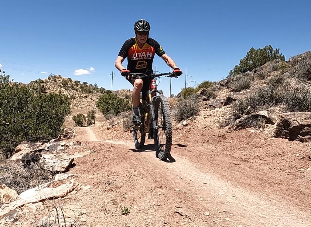
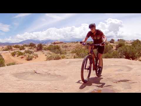
This is the world-famous Slickrock Trail near Moab, Utah.
This 10.6 mile loop twists and rolls through Navajo sandstone to a breathtaking view over
the Colorado River. The Slickrock
Trail is rated high technical difficulty and high aerobic requirement. But
many MANY "not-very-good" bikers ride this trail, with a few
short hikes over the tough spots.
Matt, Chad, and Mike ride a typical
section of trail. 99% of the riding is on sandstone! October 2001
by Bruce
|
|
The sandstone is sometimes smooth, sometimes rough. While
Slickrock is best on a full-suspension bike, a hardtail is fine, and we
see many riders on old rigid bikes. If your bike hasn't seen rock before,
it's best to stop every few miles and check all the
bolts and cables. Bike parts tend to rattle loose. If you're riding a cheap
bike, check the fillings in your teeth, too.
Chad cruises uphill, with a piece of
the Moab valley showing in the background. The trail is marked by white
dots on the rock. You won't get lost.
|

|
 |
Spring and fall are
best for biking southern Utah. (It gets pretty hot in the middle of a
mid-summer's day.) But we've done Slickrock in both December and July, and
had a great time. Just dress for the weather, bring emergency clothing,
and make sure you're prepared to spend longer on the trail than you'd
planned. Pack plenty of water. The crew
drops from a sandstone dome and turns above the cliffs. In the middle of
the photo is the Colorado River -- a 400-foot drop.
|
|
As the home of the
most famous bike trail in the world, Moab has more bike stores and motels than most large
cities. It's about four hours from the Salt Lake City airport, and you can rent your bike
equipment when you get there.
Alexander Rodriquez, age 8, launches off the
Navajo sandstone on the Slickrock trail. Photo by Randy Klein, April 16, 2006. |

|
 |
The rock you're riding on is Navajo Sandstone, laid down in
desert sand dunes during the Jurassic Period, about 200 million years ago.
The rock weathers into domes and mounds that allow a bike to grind uphill
-- if you're strong enough. 99% of the riding is on awesome, undulating
rock -- that's why Slickrock is famous. The trail is well-marked with
white dots on the rock.
Mike gets up over the handlebars to
tackle a steep section. |
| Did we tell you that it's possible to ride Slickrock on a
cheap bike? Your experience will be better with good equipment, but here's
proof it's possible. In the photo at left, Steve is tackling the trail in
an antique rigid-body Scott 21-speed bike with cable-pull brakes. Steven
(the Mad Scientist's #1 son) descends from a viewpoint overlooking the
Colorado River. The dark cliffs behind him are also Navajo sandstone,
covered with organic deposits called "desert varnish."
Photo March 1998. |

|
 |
There's a short (2 mile) "practice loop." It's not
quite as tough as the terrain on the main loop, and for a lot of riders,
the practice loop lets them say they "rode the Slickrock trail."
For those who want more, there are spurs and side routes on the main trail
offering more challenging rock. Although most riders come for the
rock, the scenery from the Slickrock Trail is terrific. Here's Earl
Underwood in a photo by Randy Klein, April 16, 2006, with the La Sal
Mountains in the background.
More
Slickrock photos... |
|
Getting there: The Slickrock Trail begins on the Sand
Flats Road, reached by turning left off Moab's main drag onto 300 South, then right when
the road ends, then second left. From the entry gate (where you pay your fee), drive about
0.6 mile. You'll see a large parking lot on the left, with bathrooms (but no water.)
For
more detailed information on the Slickrock trail,
visit our bookstore
to buy a guidebook! |

|
Original review 1998. Copyright 2000 Mad Scientist Software Inc.
|