View east toward Cleveland Reservoir early in the ride. The blue flowers are lupine. Photos and ride description July 28, 2009 by Bruce.
Skyline Drive - Wasatch Plateau
75 miles, Highway 31 to Interstate 70
75 miles, Highway 31 to Interstate 70
The Skyline Drive is a high-altitude dirt road that runs along the western ridgeline of the Wasatch Plateau. The ride described here starts on Highway 31 above Fairview Canyon and is 75 miles long with around 5500 vertical feet of total climbing, 7500 feet of descending. Starting altitude is 9400 feet, top altitude 10,700. The Skyline Drive is part of the Great Western Trail.
For about 60 miles, you'll climb and descend countless times at an average altitude of 10,000 feet before the final long downhill to 6500 feet in Salina Canyon. The Skyline Drive undulates southbound on the ridge of a tall geologic wrinkle where the "back valleys" behind the Wasatch Mountain Range transition into the Wasatch Plateau.As you ride, the views are rarely interrupted. To the west are constant views of steep canyons
dropping down into the long valley that's home to Fairview, Mount Pleasant,
Ephraim, Manti,
and Gunnison. To the east, mountain lakes occupy glacial canyons, with
mountains undulating
off into the distance toward the Colorado Plateau.

View to the west, looking over the farmland in the valley south of Fairview. I-15 lies across the range of mountains.

Wildflowers are everywhere. Those in this frame include coneflower, lupine, and penstemmon.
The Skyline Drive, in my opinion, is the second-best dirt-road ride in Utah. First place goes
to the White Rim Trail. The Skyline offers similar bicycle experiences
to the White Rim --
multi-day camping rides versus the heroic epic one-day -- but in a high-altitude
alpine environment.
Another difference is, for the Skyline Drive you don't need a permit,
there's no fee, and you
can camp just about anywhere you find a flat spot.
The Skyline Drive doesn't clear of snow until mid-July. The late September rains turn portions
of it into a mud bog, and snow moves in by November. Late July to early
August is usually the
best time to make the ride, although you may still pedal through some
running melt-water from
snowdrifts. By mid-August, afternoon thunderstorms become a problem, and
the bow-hunters turn
the dirt roads of the plateau into an ATV circus.

View to the east; typical glacial valleys with ridgelines separating broad flat-bottomed valleys that fall rapidly from the main north-south ridgeline.

Even in late July, snowdrifts are still melting. I rode through a bit of running water. The road continues on the right side of the ridge (near the middle of the photo.)
You'll need a shuttle or a support vehicle. (A loop would require 100 miles of pavement to
connect the north and south ends of the dirt road.) Your support vehicle
should be a high-clearance
four-wheel drive, because portions of the road may be deeply rutted. Or
muddy.
If you decide to ride during early or late season, you should take along a winch to drag your
support vehicle out of the mud.

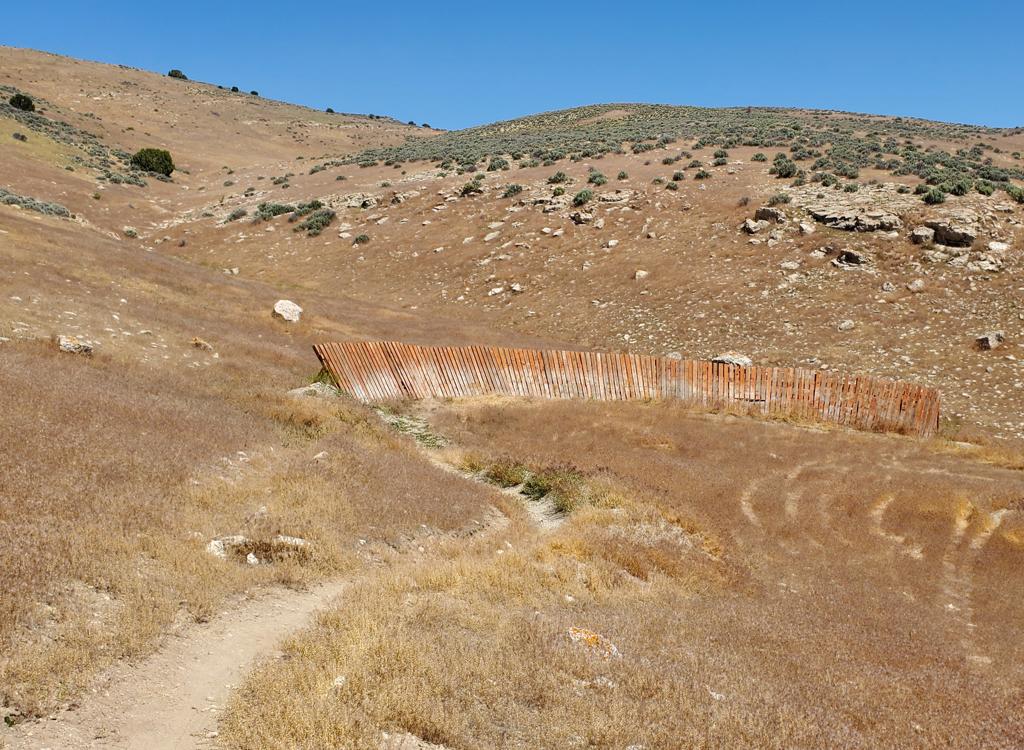
Most areas of the road have a fair amount of small rock and gravel. Then there are spots like this one. Gumbo mud when wet. Jackie checks out the ruts left by a vehicle that almost wound up at the bottom of the canyon.

View to the east. Glacial valleys where small groves of trees interrupt expanses of alpine grasses and wildflowers.
Services: There are no bathrooms or water, except at the two campgrounds: 12-mile campground
at mile 46 and a new campground under construction at mile 69. Plan accordingly.
Whenever I
checked my cell phone, I had at least one bar of service. There are several
bailout roads that
drop off the ridge to nearby towns. If you do need to drop down to civilization,
the routes
to the west (Mount Pleasant, Ephraim, Mayfield) are shorter than those
heading east (Orangeville,
Ferron).
The one-day ride from Fairview to Salina is truly an epic. While 5500 feet of climbing may
not sound that tough to you, you're going to be doing it at an altitude
over 10,000 feet. And
you may find yourself riding into a stiff wind whistling over the ridge.
Plan on a riding time
of between 10 and 12 hours for strong conditioned riders.

Same spot, view to the west. From the ridge, the terrain drops steeply toward towns in the valley below.

Above the tree line at 10,600 feet. Three times the ride drops to around 9500 then climbs back to the 10,500 level.
A three-day ride of 25 miles per day, or a 4-day ride of around 20 miles per day, are both
reasonable plans. You can include 12-mile campground for one night (at
46 miles, it can be
the only campground for a two-day, or the second night of a three-day
or four-day).
There are little unofficial primitive camp spots along the northern 2/3 of the trail, seemingly
everywhere there's a flat spot. Official campgrounds can be found down
the connector roads
(for example Joe's Valley, Ephraim Canyon, and Manti Canyon) but it's
going to add some miles
and some vertical to get back up to the Skyline.

Wasatch penstemmon and columbine frame the view west.

There are many lakes along the southern half of the trail. Paintbrush in the foreground provides perspective on this view of Ferron Lake.
A multi-day bike ride on the skyline will be an unforgettable experience for scouts. Take a
few days and do it.

As we descend, we'll wind around the valley below us and turn to head southbound (leftward in the photo) on the road you see. Above the road, well, I'm pretty sure that's the feature called Mary's Nipple. Elevation 10,984 feet.
The trail heads generally downhill during its last 15 miles. From spruce and alpine meadows,
we enter a zone of elderberry and aspens. Lower down, we hit pinion and
cedar, then juniper,
then dry sage just before we hit Interstate 70.
There are ways to make this ride even longer. For example, you can start at Scofield Lake or
Electric Lake, or ride from Soldier Summit (100 miles). On the bottom
end, you can find the
old rail trail and descend all the way to Salina, for 16 extra miles and
over 1000 feet of
additional descent.

On FR009, we've left the GWT and are heading steadily downhill through aspen forest toward Gunnison Canyon and Salina Canyon, where we'll end in sage and juniper near I-70.
Riding notes, north-to-south from highway
31:
0.0 South from paved parking area off 31
2.0 Improved road ends. Dirt and ruts ahead.
7.7 Keep R (L=Miller Flat Creek, Lake) N39 31.389 W111 18.118
8.2 Keep L (R= FR 37 to Mount Pleasant)
N39 31.042 W111 18.182
9.8 Keep R (L=west Miller Flat Creek) N39 30.176 W111 18.840
11.9 Keep R (L=Booth's Canyon) N39 28.540 W111 19.435
13.0 Keep L (R=Spring City, Oak Creek) N39 25.808 W111 21.433
15.4 Keep R N39 25.151 W111 21.998
19.0 Keep L N39 24.678 W111 22.746
20.3 Keep R N39 23.703 W111 22.930
21.2 Keep R N39 23.041 W111 23.145
22.6 Keep R (L=sk11 N39 22.336 W111 23.745
28.7 Keep R (L=29 to Orangeville) N39 19.326 W111 26.542
29.5 Keep L (R=29 to Ephraim) N39 18.627 W111 26.781
30.3 Keep R N39 18.035 W111 26.582
30.9 Keep R (L=John August Lake) N39 17.616 W111 26.660
33.4 Keep R (L=Cherry Flat) N39 15.486 W111 26.740
34.8 Keep straight (L=Cove Creek, R=reservoir)
N39 14.756 W111 27.722
35.2 Keep L (R=Middle Fork) N39 14.645 W111 28.044
38.0 Keep L (R=Manti) N39 12.658 W111 29.068
44.0 Hairpin R (straight = to lake) N39 08.804 W111 28.958
44.5 Straight (L = Ferron) N39 08.392 W111 29.072
45.8 Go L (R=Mayfield, Six Mile Creek, Palisade State Pk)
N39 07.427 W111 29.153
12-mile campground on your R
45.9 Keep R (L=Oles Lake) N39 07.316 W111 29.157
47.0 Keep R N39 06.525 W111 29.300
56.0 Keep straight (R=Woods Lake) N39 04.223 W111 33.233
59.1 Keep R N39 01.718 W111 33.291
62.0 Keep L on FR009 (R=to 89) N39 00.583 W111 35.202
69.3 Keep L, cross creek (R=campground) N38 56.307 W111 32.620
74.3 End on paved road, R to reach I-70, N38 52.729 W111 33.210

Skylline Drive
Getting there, Highway 31 trailhead above Fairview:
Exit I-15 in Spanish Fork and take US-6 up Spanish Fork Canyon. Just after Billie's Mountain (the big cut), turn right (south) on US-89 toward Manti. Go 28 miles south to Fairview and turn left on Highway 31. Nine miles from Fairview, turn right to stay on 31. About 14 miles from Fairview, turn right into a paved parking area for Skyline Drive South. N39 37.033 W111 18.680. The improved dirt road heading south and slightly uphill, marked Great Western Trail, is Skyline Drive.
Exit I-15 in Spanish Fork and take US-6 up Spanish Fork Canyon. Just after Billie's Mountain (the big cut), turn right (south) on US-89 toward Manti. Go 28 miles south to Fairview and turn left on Highway 31. Nine miles from Fairview, turn right to stay on 31. About 14 miles from Fairview, turn right into a paved parking area for Skyline Drive South. N39 37.033 W111 18.680. The improved dirt road heading south and slightly uphill, marked Great Western Trail, is Skyline Drive.
GPS track files (right-click and "Save as..."):
GPX Skyline Drive
Individual segment topo maps:
Part 1
Part 2
Part 3
Part 4
Part 5
One-page riding guide
Lodging, camping, shops:
Links to
south Utah County
area resources