View north as Bruce skirts the cliff edge on a smoother stretch of Sidewinder. Photos and original review April 14, 2009 by Bruce. Latest update March 2017.
Sidewinder Trail
Includes Precipice TrailThe Sidewinder Trail is a short but fun upper-intermediate singletrack
in the Santa Clara River Preserve. It forks off the
Barrel
Roll
trail. The Precipice Trail is a short (0.8) mile connector
between the Cove Wash trailhead and the beginning of the Sidewinder (see
below).
The trail is shaped like a lariat, with a small loop at the summit. The name Sidewinder comes
from the trail's shape -- it has a zigzag shape like a snake's body, with
the small loop forming
the head. Out-and-back from its origin on Barrel Roll, the Sidewinder
trail is 3.0 miles. Connecting
via the shortest route from the trailhead, the total ride will be 4.8
miles.

As the trail zigs back to the south side of the ridge, we get this alternate view.

Sidewinder's resident gila monster. Photo swiped from Neil, April 2011. Haven't seen a real sidewinder here yet.
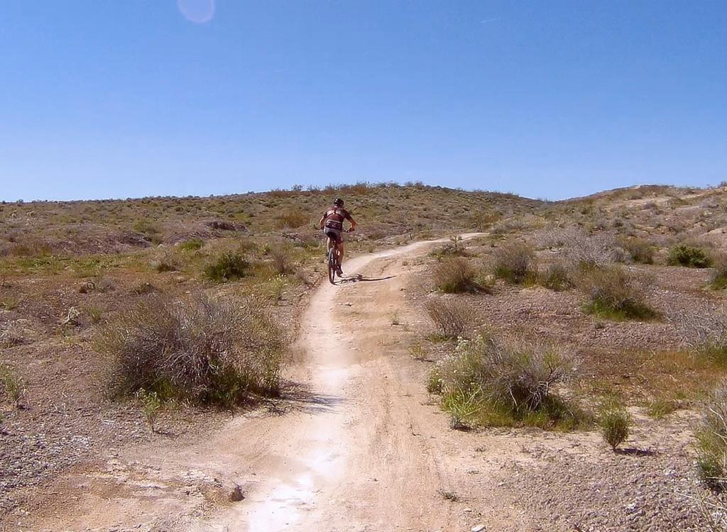
The pitch of the trail is fairly pleasant. But it's a bit steeper than Barrel Roll, rising
350 feet over a mile. Total climbing will be 500 feet for a ride from
the Cove Wash trailhead
via Barrel Roll, up Sidewinder, and back down.
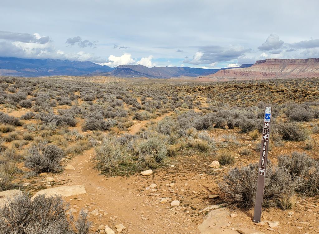
Because the trail goes back and forth between the north and south sides of the mesa, there
will be frequent pretty views. To the north are Ivins, the red cliffs
near Snow Canyon, and
the Pine Valley Mountains. Looking east downhill, you see Green Valley
and Black Hill. On the
south rim are views of the mesas and badlands of the Stucki Springs area.

As we climb higher, we can see over the mesa to the north. There's Ivins, then Snow Canyon, then the white cliffs above the highway, then the Pine Valley Mountains. At the left side of the mesa, you can just make out the curved streak of the west end of the Barrel Roll trail.

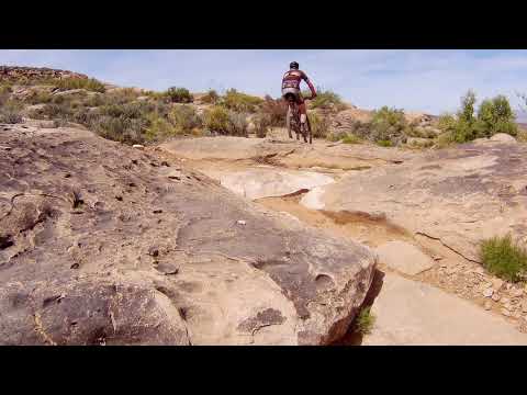
Bruce fights through an area of technical rock in March 2017.
The trail has more technical features than Barrel Roll. Most won't slow down a skilled rider.
At the top of the loop, there's a fairly gnarly steep turn on rock near
the cliff edge that's
tricky in either direction. Most of the trail, though, is straight-ahead
cranking on smooth
narrow singletrack.
The loop at the top -- the sidewinder's head in snake terms -- is best done counterclockwise.
There's a steep "90-degrees plus a ledge" feature that's hard to clear
when done uphill in
the clockwise direction.

Gene Poncelet reaches the loop fork at the top of Sidewinder in February 2011.

Rolling one of the many turns on Sidewinder.
On the south side of Sidewinder's loop is the connection to the
Suicidal
Tendencies
trail. This has become a popular ride, but it's not to be taken lightly. If you add this option,
your climbing will be 1500 vertical feet and your distance 13 miles. And
the riding gets even
more techy.

Jackie demonstrates the path over the boulders. Very do-able, but will stop an intermediate rider.

View from the top, looking over the badlands toward the north and the Santa Clara River.
Precipice TrailThe Precipice Trail is a 0.8 mile trail from Barrel Roll to the Sidewinder Trail. It's my favorite
route to Sidewinder. It forks left from Barrel Roll about 100 feet from
the Cove Wash trailhead,
then joins Sidewinder about 100 feet from its origin off the south side
of the Barrel Roll
loop.

Bruce cruises outbound from the Cove Wash trailhead on Precipice.

Climbing into a couple of tight rock slots on the steep sidehill.
Precipice is a bit more technical than Barrel Roll. There are some tight steep-ish turns and
a bit of rock banging. There's a section with steep side-slope. The trail
follows the same
general westward course as clockwise Barrel Roll. But instead of climbing
the smoother terrain
on top of the hill, it navigates between two rows of rock outcrops below
the top cliff-line.
When you reach the Sidewinder trail fork, go left to climb Sidewinder. (Or right then left
to ride Barrel Roll clockwise.)By using the Precipice trail for your climb
and descent, is makes a nice Sidewinder five-mile
out-and-back from the trailhead. Ride Precipice to Sidewinder, loop around
the end, then head
back the way you came, saving Barrel Roll for your next ride.

Bruce rails one of several semi-tough uphill turns on Precipice.

The trail descends past oddly-shaped boulders. This is the same Shinarump layer found on the Zen Trail and at Gooseberry Mesa and Little Creek.
Bottom Line!The Precipice-Sidewinder route is a lot of fun, but it's a pretty quick ride.
Most riders will do it as an add-on to the Barrel Roll trail. Or as the
connection to
Suicidal
Tendencies
for a bigger tougher ride.
And if you're
looking for more rocky stuff, the
Rim Rock Trail
system is just south of Cove Wash.
Riding notes, out-and-back Sidewinder:
0.0 Start on Barrel Roll Tr
N37 07.250 W113 40.503
Take L fork of Barrel Roll
loop
-
or -
Fork L to Precipice ( if
finished)
0.9 Fork L for Sidewinder if on Barrel Roll
N37 07.404 W113 41.157
0.95 Pass Precipice if coming from Barrel Roll
(Keep R if already on
Sidewinder)
If
on Precipice, fork L on Sidewinder
N37 07.384 W113 41.154
2.4 At loop, pick a direction
N37 07.336 W113 41.787
2.7 Finish loop, descend
4.0 If Precipice is finished, fork R
N37 07.384 W113 41.154
If not, ride 60 ft, R on Barrel
Roll
4.8 Back at parking

Map of Sidewinder ride.
Getting there: In St. George, head north on Bluff
Street and turn left on Sunset Blvd. Drive 3 miles west on Sunset through
Santa Clara. As you're reaching the end of Santa Clara, look for a road
crossing the river on your left. It's about 200 feet before the Jacob
Hamblin Home (which will be on your right if you pass the turn). Turn and
cross the river and follow the road as it turns right. About 0.4 miles
from Hwy 191 (just after the road veers right), turn left uphill onto the dirt Stucki Springs road.
On the Stucki Spring road at mile 0.7,
turn right at the sign "Santa Clara Preserve" or "Cove Wash
Trailhead." Pass the water
tank, and at mile 1.3, turn right again through the fence toward the
trailhead. This road will
veer left to a log fenced parking area at mile 1.5, N37 07.253 W113 40.508.
Connecting by bike from Green Valley (5 track options):
GPX of routes to preserveThere's a singletrack trail you can ride from the valley to the
trailhead. After crossing the river and following the road as it turns
right, pass the dirt Stucki Springs road. About 100 feet past the road, a
doubletrack heads obliquely westward uphill on the left, turning quickly
into singletrack heading up along the wash. at about 1/3 mile, keep R at
the fork (L rejoins the road). The trail will climb up and west of the
water tank, then join the road right at the fence of the preserve.