Rusty Spur Trail
Rusty Spur is a short singletrack loop in the Brand Trails area of Moab. It's a very easy trail, fun for true beginners and kiddies. But it's dirt singletrack, so it's not suitable for training wheels or towed kiddie-trailers.
Rusty Spur has a main loop that's 1.3 miles of dirt plus 1/10 mile of paved trail that closes the loop. There's a 0.3 mile ST connector for those who are heading southbound to the loop from the Brand Trails parking. (This little connector isn't exciting, and you won't miss much if you do only the main loop.)


The shortest ride is a lariat loop from the lower Brand Trail (Bar M) parking. The ride is 4.2 miles total, with only trivial elevation change. I suggest you pop through the fence and ride paved Old 191 southbound, rather than taking the chunky gravel Bar M. (The Bar M and Old 191 run alongside each other in this area, separated by a fence with periodic walk-throughs.)
You can also pedal directly to the trail from Moab by following the paved Old 191 bike path. From the Colorado River, it will be 6.5 miles to the loop, with 650 feet of elevation gain.
All three trail entrances from Old 191 are marked with signs.


At first, the loop will look like ultimate boredom. As you look west from the trailhead on Old 191, you'll see grass and a highway. Have faith. I wouldn't send you onto a trail that pointless.
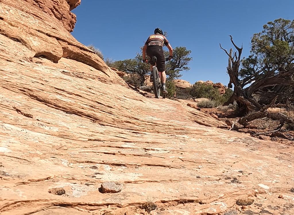
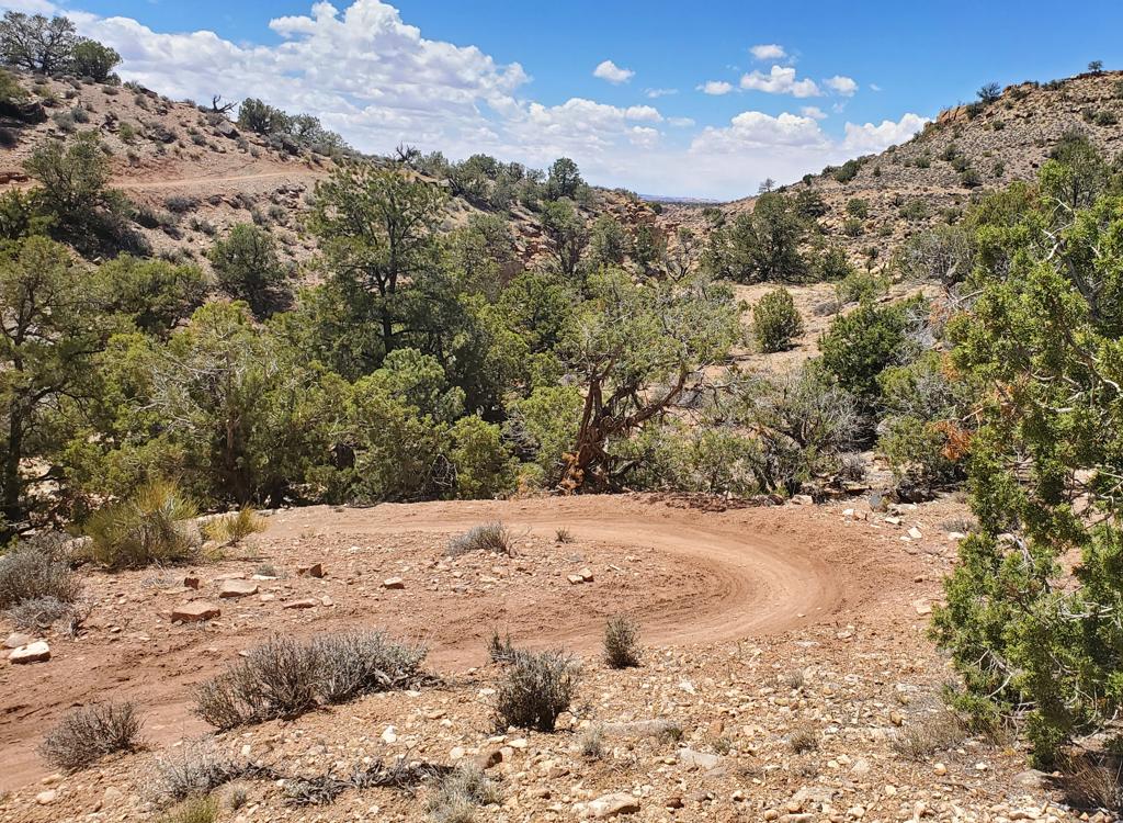
As the trail turns south, you'll quickly enter a broad ridge studded with junipers. To the west are dark brown slopes of Moenkopi mudstone, topped with cliffs of Wingate sandstone. The trail begins to meander and behave more like a mountain bike path. But the riding is still easy and non-threatening.


To the south, you're looking down the path of the Moab Fault, where Highway 191 descends toward Moab and Arches National Park. As you reach the southern end, there's a nice view of the paved bike path as it climbs up from Moab.
Bottom Line!
Rusty Spur is a nice introduction to dirt for true beginners and children. If you've done well, head for the Lazy-EZ loop or the Bar M next.For more advanced riders, it's still worth a whip-around on the loop to warm up for the more exciting stuff to the east. So you can say you've done it all.

Riding notes, lariat loop:
0.0 West to leave parking the way you drove in
(Note: LOWER parking lot!)
N38 39.104 W109 40.107
0.3 Through fence to paved Old 191 at kiosk
Left on Old 191 N38 39.014 W109 40.299
1.0 R on ST Rusty Spur Connector
N38 38.594 W109 39.716
1.3 Join main loop, keep straight (L)
N38 38.391 W109 39.521
2.0 At south end of loop, turning back
2.4 Keep L (R = Sidewinder Bar M)
2.5 L on Old 191 N38 38.357 W109 39.348
2.6 L on Rusty Spur Loop
N38 38.409 W109 39.453
2.8 R to return on Connector
N38 38.390 W109 39.519
(L for another loop)
3.1 Join Old 191, keep L N38 38.596 W109 39.720
3.9 R through gate N38 39.014 W109 40.299
Straight east to parking
4.2 Back at parking

Getting there:
From the north: Drive south on US-191 for 22 miles south of I-70, then
follow the directions below.
From Moab, drive 7 miles north from the Colorado River on 191. When you
see the Gemini Bridges parking area, look for a gravel road on the
opposite side (east, away from the cliffs). Turn onto the gravel road and
immediately go right. The first parking area is reserved for the Bar M
diner. (Paid parking is available at the far end of this lot GPS N 38°
39.38' W 109° 40.66'.) Continue driving south until you approach the
fence (and paved bike path) on the right, then turn 90 degrees left (east)
and drive to the gravel parking area in the little valley. The ride will
start by backtracking up to the kiosk at the paved trail.
Alternate: From Moab, ride the Old 191 paved trail until you reach the Bar
M kiosk. (You'll pass the south entry to the loop about 1/10 mile from the
kiosk.) Across from the kiosk -- to the west -- is the singletrack.
Riding Resources:
Single-page riding guide
GPS Track Files (right-click and "Save as...")
GPX Rusty Spur
only
Loop ride as
above
GPX
all Brand area trails
Topo for Moab Brand Trails to print:
View
Lodging, camping, shops:
Links to Moab area resources