Note: Because of a "wilderness study area" designation, most of this trail is now closed to bikes. I can't recommend the short bit of this trail that remains open. I've retained this page as info for trail runners who use our site.
The Red Mountain Trail is 11 miles north of St. George, opposite the small town of Diamond Valley. This is not a casual-riding trail. It's one of the meanest, roughest little trails in the St. George area -- a brutally rough climb up rock ledges. Only the strong and skilled need apply.
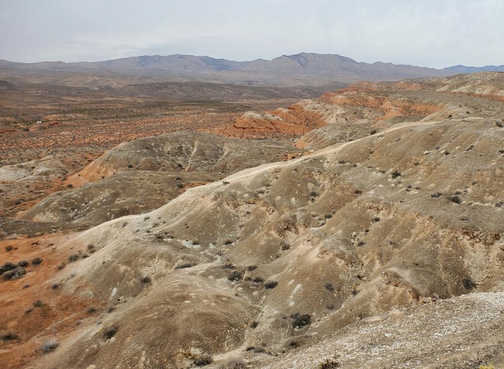
The trail climbs up to some nice views northward to the Pine Valley Mountains. At the ridgeline, you can look from the top of the fantastic sandstone cliffs of the west fork of Snow Canyon.
The foot trail extends along the ridge above Snow Canyon all the way to Ivins. Maps of the preserve area, including this trail, are available at the visitor's center in St. George.

0.0 Straight through the cattle guard
N 37° 16.787' W 113° 39.168' Alt 4700
Multiple forks, keep straight
0.2 Trail on R of circle
0.9 New "wilderness border"
Stash bike and walk.
1.1 Trail levels off, intermittent sand
2.0 Sandy area
2.5 Stiff climb, switchback
2.7 Ridgetop, trail forks and descends
N 37° 15.436' W 113° 40.425' Alt 5150
Red Mountain Wilderness Border
Riding resources:
Single-page riding guide
Lodging, camping, shops:
Links to St.
George area resources