The Provo River Parkway is an easy-going paved bike and roller blade trail. It stretches 15 miles from Utah Lake State Park to Vivian Park in Provo Canyon. The trail follows the Provo River, seeing heavy use by BYU students and other young hardbodies. Except for a couple of short spots, the slope of the trail is barely perceptible.
The trail is open year-round. However the upper portions may not be snow-free during winter months.
, Alex (8), and Kristen (10) check out the river from Nun...")
Our favorite ride is to catch the trail at the parking area at the mouth of Provo Canyon on Orem's 800 North Street. A ride from the canyon mouth parking up to Bridal Veil Falls and back is 8 miles.
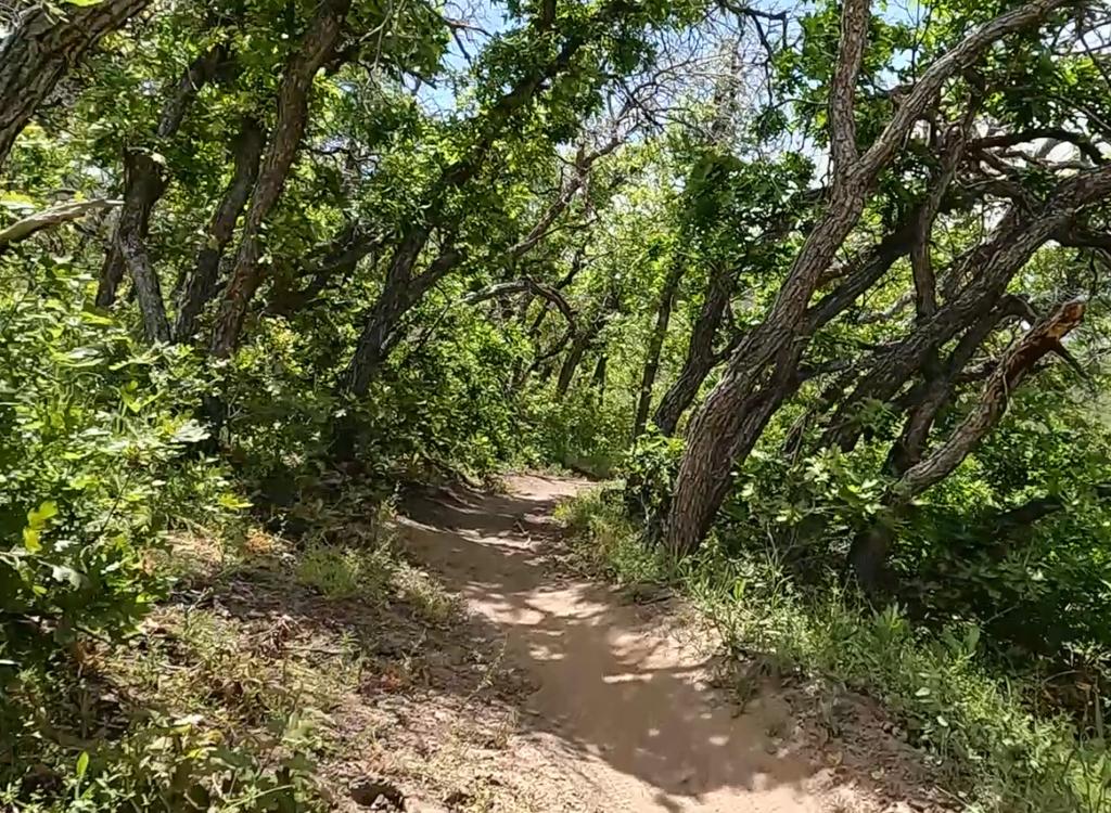
For example on the uphill ride 200 feet after passing the bridge that crosses the Provo River to Canyon Glen, the Great Western Trail (GWT) is on your left. It's just before the parkway curves around a rock outcrop. This trail is also the North Provo Canyon section of the Bonneville Shoreline Trail (BST) . It rises through an area called the Dragon's Back before hitting the Orem Bench Road, which goes west to connect other dirt trails both uphill and down.


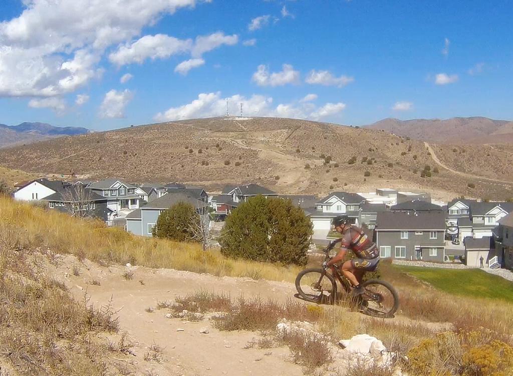
You can also connect to the South Provo Canyon Bonneville Shoreline Trail from the parkway. After passing through Nunn's Park and crossing the Provo River, you'll enter a parking area on the south side of the highway, then continue uphill on the paved bike path. 1/10th mile later, the singletrack forks uphill on your right. It connects to other trails in the Kyhv Peak area at the canyon mouth.
Famous Bridal Veil Falls towers above the Provo River starting at mile 3.8 from the canyon mouth. At the base of the falls, there's a shallow cold swimming hole for hot tired kiddie bodies.

")
Provo CanyonTrailhead: On Orem's 800 North, descend slightly off the bench,
keeping left. Turn left to Canyon Hills Drive (by the gas station) and
immediately go right to the parking lot. The trail entry is on the
downhill end of parking.
Canyon View Park: Driving up-canyon, this parking area is on your left
a little over a mile uphill. There are bridges across the river to the parkway on
each end of the park. Find the paved pathway at the far end of the parking
zone and follow it west (down-canyon) then across the river.
Nunn's Park, lower Bridal Veil parking: Exit to the right from 189 at mile 3.2 . There are two large parking lots. The more distant one on the right connects to the trail.. As the road turns left under 189 toward Nunn's Park, turn right into the parking lot.
Vivian Park: Turn right at mile 5.8. There are two large parking lots. The more distant one on the right connects to the trail.
Riding resources:
One-page
riding guide
GPS track files (right-click and "Save as..."):
GPX
track, includes route to Utah Lake
High-res topo
(entire trail)
for printing:
View
Lodging, camping, shops:
Links to Provo
area resources