Pritchett Canyon Trail - Prostitute Butte Trail
The Pritchett Canyon trail is a mixture of jeep-road on open mesa, intermediate technical ledge dropping, rolling rock, sand digs, and insane technical rock. We describe the main trail (following the trail signs), which is 22 miles. You'll descend about 1400 feet from the mesa down to the Colorado, but you'll also do a bit of climbing, too.

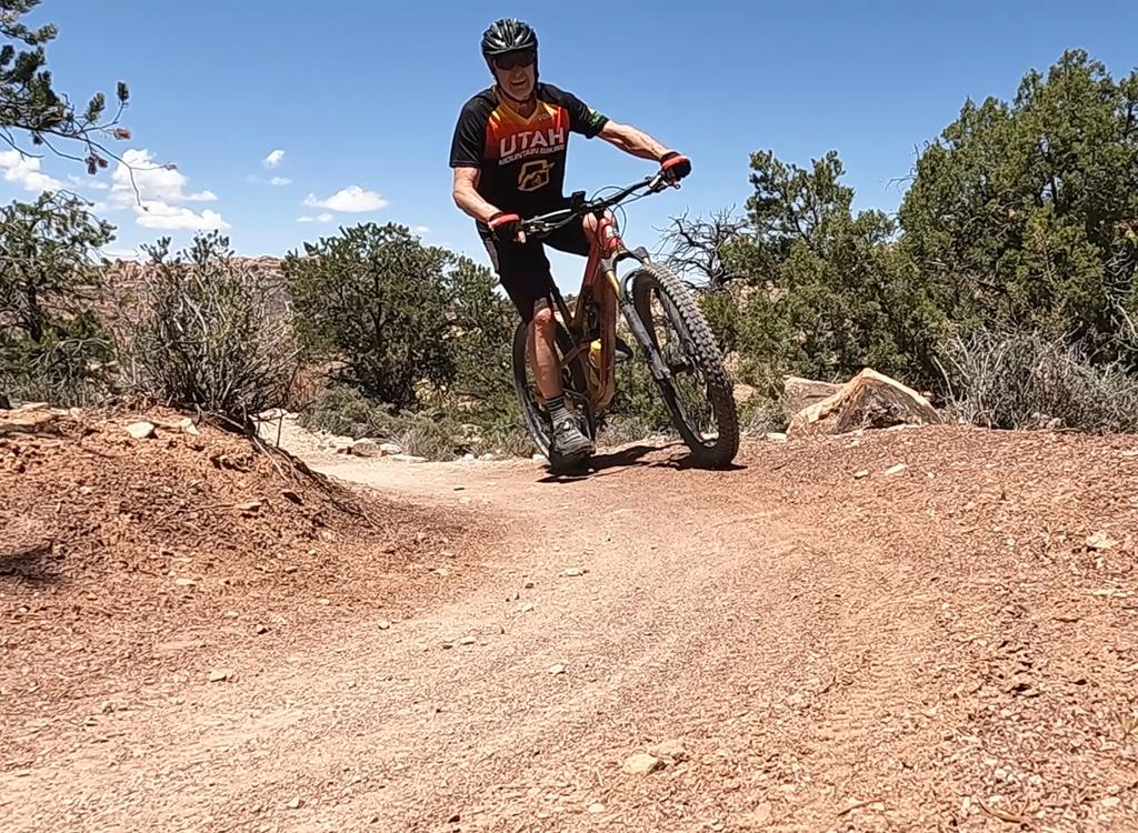
Mike Engberson and Chad Hunter zip past Picture Frame Arch on Prostitute Butte. Photos and ride review December 13, 2000 by Bruce

View of Pritchett Arch. Note the Navajo sandstone over the ledge of Kayenta capping the Wingate cliffs. The best arch-forming rock in the Moab area is Entrada sandstone, found above the Navajo.
You'll start out with a fairly flat ride through sage and juniper. At 0.5 miles, the road forks.
Right goes to the Behind the Rocks trail. Left is to Pritchett. From here,
you should find
"Pritchett" posts with arrows at every trail intersection.
The mesa road is flat to somewhat downhill. You'll fight your way through quite a bit of sand
in this area. After 5 miles, you'll arrive at Prostitute Butte. From here,
the trail gets more
interesting.

Chad rounds the corner of Prostitute Butte. December 13, 2000
 and Mike pop off one of thousands of ledge drops, around the middle ...")
Chad (left) and Mike pop off one of thousands of ledge drops, around the middle of the trial.
The trail climbs and descends through a couple of canyons, with the surface alternating between
open rock, ledges, and sand.
After passing Pritchett Arch, the trail makes a final brutal uphill climb, then dumps you down
White Knuckle Hill. There's some extreme stuff here, but remember you
can always pick up the
bike and climb down.

Mike tackles the extreme technical rock of White Knuckle Hill, near the end of the ride. December 13, 2000.
Fellow science nerds! At the top of Pritchett Canyon, take a minute to look out over the arrangement of the sandstone. The whiter mounds on the horizon are Navajo sandstone, formed of course-grained sand deposited in ancient dunes. A layer of ledge-forming Kayenta sandstone underlies the Navajo. The harder Kayenta resists breakdown, allowing the Wingate below it to form the impressive cliffs you see on the walls of the canyon. The Kayenta is the border between the Triassic (age of reptiles, 245 million years ago) and the Jurassic (first age of dinosaurs, 208 million years ago).

Bruce poses on the trail near Pritchett Arch, just before the ascent up to White Knuckle Hill. The Behind the Rocks Trail joins the Pritchett Canyon Trail here. Photo by Mike Engberson, December 13, 2000.
Coming out of White Knuckle Hill, the trail winds up and down through dry creekbed, with plenty
of sandy uphill sprints. This last two miles finishes off your thighs,
if you have anything
left.
Two authoritative guidebooks give the riding time for this trail as "2 hours." Make that FOUR hours if you're in good shape.
Getting there:
To leave a shuttle car, drive south on Moab's main drag (US-191) to the McDonald's, and turn right onto Kane Creek Blvd. After 1.5 miles, go straight at the "Yield" sign where the road seems to turn right. Continue along the Colorado River until the road turns to gravel. There's a parking area on the right. The trail's end is about 100 feet back, on the south side of the street where it exits private property.
To leave a shuttle car, drive south on Moab's main drag (US-191) to the McDonald's, and turn right onto Kane Creek Blvd. After 1.5 miles, go straight at the "Yield" sign where the road seems to turn right. Continue along the Colorado River until the road turns to gravel. There's a parking area on the right. The trail's end is about 100 feet back, on the south side of the street where it exits private property.

Mike hits one of the larger ledge-drops on White Knuckle Hill. It's every bit as high as it looks. Awesome, huh?

Pritchett Canyon
The trail's end crosses private property. Take $1 per biker with you to pay the toll as you
exit.
Now drive your second vehicle to the trailhead.
Head back to Highway 191 and turn right (south). Drive 12.5 miles, and watch for a small road on your right. You should see a sign that (among other destinations) says Pritchett Arch. GPS is N 38° 25.301' W 109° 25.995'. Park near the cattle guard and begin riding.Riding resources for this trail:
One-page printable riding guide
GPS track file (right-click and select "Save Target as..."):
GPX
Topo map for printing: High-Res
Lodging, camping, shops: Links to Moab area resources
One-page printable riding guide
GPS track file (right-click and select "Save Target as..."):
GPX
Topo map for printing: High-Res
Lodging, camping, shops: Links to Moab area resources