(Grizzly Peak)
The Perry Canyon trail is a stiff hillclimb on narrow singletrack. It's 10.2 miles of climbing, 4400 vertical feet, to a top altitude of 8800. The steepness and narrow track -- plus plenty of power-turns -- make this trail one for very strong riders.


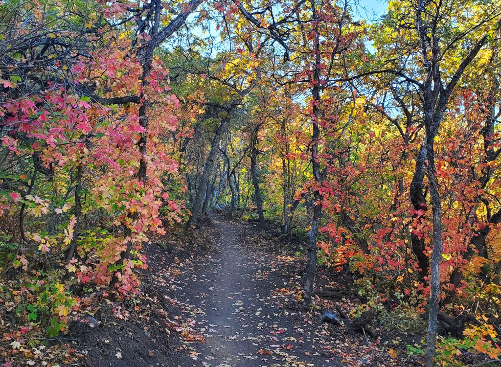
The trail hugs a steep sideslope in maple forest as you climb up and around several tough turns. At mile 1.3, turn hard left at the fork to continue up Perry Canyon, as the White Rock trail heads west on your right.
At two miles, the trail breaks out onto grass-covered hillside. Then it dips in and out of maple groves as the pitch mellows a little. At mile 3.7, keep left as the White Rock trail rejoins.
Just after mile 5, the slope gets tougher and the trail is a bit soft. (Needs more bike tires to compact it.) This half-mile was the toughest for me. At mile 6, the trail is on the tree-less upper slopes of Grizzly Peak.
This is a tough trail, but it's a lot of fun. The countless climbing turns require a bit of power. Plaster your body onto the frame and spin on up. The narrowness of the trail requires good balance to avoid bobbling out of control during tough climbs. Once you reach the top, the downhill is a riot. I did take a little skin off my left arm, twice, leaning too hard into tight turns and discovering something unsoft in the overhanging vegetation.
0.0 Pass the bear heading east on ST
N41 27.347 W112 01.934
0.4 Short switchback up to DT
Hard L to cross DT onto ST
N41 27.394 W112 01.549
0.6 Go either way, lower route less steep
1.3 Fork hard L (R = BST)
N41 27.031 W112 00.973
4.4 Fork R (L = older route, rejoins)
N41 26.390 W112 00.052
5.6 Keep straight (R = blind end)
N41 26.243 W111 59.578
8.7 Grizzly Peak. N41 25.654 W111 59.016
Short fork to top of peak
10.2 Junction with Inspiration Point road
N41 24.670 W111 58.143


From Brigham City: At the intersection of 1100 South (heading east from the freeway exit) and US-89, turn right (south) and drive 2.3 miles, turning left on 3000 South.
Single-page riding guide
GPS track files (right-click and "Save as..."):
GPX Perry Canyon to Grizzly Peak
Lower loop using White Rock
Up White Rock to Grizzly Peak
Perry Area multi-track
Perry to N Ogden (29 mi)
Perry to Pineview (37 mi)
High-res topo (600 KB): View
Lodging, camping, shops: Links to Ogden area resources