A rider approaches from the south in the Highland section. Theres a smaller alte...
A rider approaches from the south in the Highland section. There's a smaller alternate trail for horsemen etc on the other side of the canal. Photos and review by Bruce on August 3, 2013.
Murdock Canal Trail

The Murdock Canal Trail is a paved multi-user trail 17 miles in length. It follows the Murdock Canal route (the canal is now underground for the entire length) from the mouth of Provo Canyon in the south to Thanksgiving Point in the north. It opened in May 2013.

The trail connects to many community trails such as the Lindon Heritage Trail, the Highland Glen trail, and the trail to Art Dye Park in American fork. More trails will tie into the Murdock Canal Trail as time goes by.

The Murdock Trail connects to the Jordan River Parkway at the north end by keeping straight and following sidewalk west to the Thanksgiving Point golf course. The final connecting path descends from Desert Forest Lane south of the clubhouse.

At the south end of the Murdock Canal Trail, a broad sidewalk/path along 800 North takes you to the Provo River Parkway trail parking at the mouth of Provo Canyon.

A nice spot for a picnic or to let the kids play: Highland Glen. This is where y...
A nice spot for a picnic or to let the kids play: Highland Glen. This is where you hook up with paved trail to the mouth of American Fork Canyon.
Approaching an underpass. The trail to the roadway has already split off on your...
Approaching an underpass. The trail to the roadway has already split off on your left.
The trail is broad pavement, which is nice for safe passing. Already speedsters are using this as a training ride, mixing it up with families towing bike trailers, skateboarders, roller bladers, hikers, and horse riders. Even on a busy Saturday, there was never any problem moving around large groups.
Underpasses take the trail beneath the busiest streets (although there's one intersection in Orem -- yeah, the traffic light -- where the trail could really really use an underpass). Less-traveled streets have crosswalks, with a stop sign for YOU, the trail rider. Many of these street crossings have high fences right at the sidewalk. You can't see the traffic until your front wheel hits the gutter. So blowing through the stop sign on those streets might get you killed. If you're not going to obey the law and actually stop, at least slow down enough that you can look before crossing.
Heading into Pleasant Grove southbound.
Looking to the northwest from the trail, we see the American Fork Temple mid-lef...
Looking to the northwest from the trail, we see the American Fork Temple mid-left and the Bingham Canyon copper mine mid-right.
Rest rooms are spaced regularly along the trail (about every three miles), at the trailheads below. There's water at the trailheads, but also at a few scattered picnic tables with drinking fountains.
The scenery is nicer than you'd think. It doesn't feel like you're riding through the suburbs. The mountains are always in view and in the Lindon area there are nice looks toward the valley and Utah Lake.
Northbound as the trail twists through Linden.
View to the west and Utah Lake.
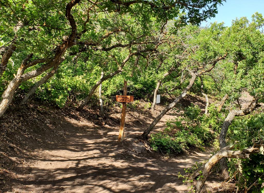
Navigation is very easy until you reach one spot: the trail makes a detour in Highland. Southbound, you'll leave the trail to go north on the Alpine Highway. After 1/2 mile, turn right on West Park Road (10130 N) toward Highland Glen. As you reach the grassy area at the little lake, fork 90 degrees south.

Northbound, you'll veer to the left when you arrive at the lake. (The lake is just over the grass, out of sight.) Aim for the straight, westbound path. Exit the park and pedal uphill on subdivision road.. At the Alpine Highway, turn south (left) and go 1/2 mile to find the trail again.

Formal Trailheads with bathrooms and water (N to S):
- Bull River Rd (Timpanogos Highway eastbound -- not commuter lane! -- and take Lehi 1200 W exit right, then immediate right to go west on Bull River Rd to approx 1400 W in Lehi)
- Mitchell Hollow Park (6450 W 10400 N  in Highland)
- Highland Glen Murdock TH (on 4800 W in Highland turn west on Cedar Hills Dr at the light just south of Lone Peak HS. Left at the T, then left just before the main road descends to the park)
Continued below...
Were coming back from the mouth of American Fork Canyon on the Highland Glen Tra...
We're coming back from the mouth of American Fork Canyon on the Highland Glen Trail, one of the many trails that connect to Murdock.
Typical trailhead. This one is Bull River Road. Good spot to start a 35-mile out...
Typical trailhead. This one is Bull River Road. Good spot to start a 35-mile out-and-back!
Trailheads continued...
- Highland Glen Park itself (on Alpine Highway, turn east on West Park Road (10130 N) and coast down to the parking lot)
- Canyon Road (on SR 146 where trail goes under road)
- Wade Springs (1100 N 600 E in Pleasant Grove)
- Lindon View (300 N 780 E in Lindon)
- Trail ends at 800 N Orem. There's parking at Provo River Parkway TH, 1630 E 800 North (just off Highway 189)
Bottom Line!

Great trail for fitness buffs, families, or beginning riders. Lots of amenities (it's never far to a bathroom or drinking fountain). Most of the riding is flat --good for unconditioned riders.

Southern SLC riders: Take Highland Blvd to the east frontage road southbound. Cross Point of The Mountain. At the traffic light for Timpanogos Highway, it's safest to pretend you're a pedestrian. From the far right on the frontage road, get into the crosswalk. Cross the frontage road in the crosswalk, then hit the "crosswalk button". When you see the little white walking guy, get on your bike and ride in the crosswalk across the wide Timpanogos Highway and up onto the Murdock Canal Trail.
There are a lot of these little rest stops. Shaded picnic table, trash can, and ...
There are a lot of these little rest stops. Shaded picnic table, trash can, and drinking fountain. Luxury.
Riding resources for this trail:
GPS track files (right-click and "Save as..."):
    Murdock GPX only
    Multi-track file of area paved trails
High-res map for printing:   View
Lodging, camping, shops:    Links to north Utah County resources