North Fork Park
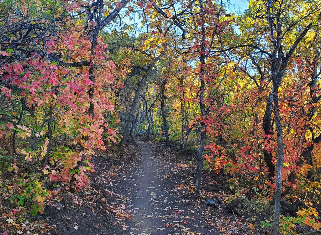
The Mule Loop consists of the Mule Ear and Mule Shoe trails in North Fork Park. The ride is singletrack, about 5.5 miles in length. The Mule Ear Connector runs through the loop north-to-south. The trail's elevation is from 5600 to 5900 feet, with a riding season of late May through October.


For a longer ride, you can start at the 365 Trail . 365 has two ways of connecting uphill to the Mule Loop (see the map, and see the 365 and Pipeline trail page for navigation details). The easiest to navigate is the Pipeline to Mule connector. Get to the Pipeline-365 trail fork (either via 365 or Pipeline), then go uphill on Pipeline. Just after crossing a small creek, take the right (uphill) trail fork and climb up to Mule Shoe / Cinch. When you reach the loop, straight and right puts you on the counterclockwise loop. A left turn takes you to the road crossing, Mule Ear, then the Mule Ear Connector trail.
You can also connect from the 365 Trail using the McDurfee Creek trail (called Traily McTrailface on Trailforks). See the instructions under "Ben Lomond trailhead" at bottom.
To connect, you have two options. You can take the Mule Ear Connector trail down to the Cutler Flat gate, then ride up the doubletrack to the group picnic area. Or, you can take Cutler's Twist from the northern side of the loop, which will take you directly to the group area pavilion. See the area map below.


Just uphill from the gravel road is the Mule Ear Connector trail. It's 1.1 miles long, running from the southern end of Mule Ear just west of the road crossing, then crossing the northern side of the loop before dropping to the Cutler Flat gate.


Northern trailhead altitude is at 6000 feet. Low point is 5500 feet on the Mule Shoe Trail. The Mule Shoe crosses the road and becomes Mule Ear at 5700 feet elevation. High point is near the viewpoint on Mule Ear at 6500.
Dogs are allowed, and are supposed to be on leash.


Riding notes, clockwise loop from 1st road crossing:
Road turns sharply R at creek, climbs hill.
ST is on left about 100 hards up the hill
0.0 Hard L onto ST N41 22.424 W111 54.768
Mule Ear Trail, begin climbing
0.1 Straight (R = Mule Ear Connector, L = Traily McTrailface)
N41 22.389 W111 54.867
1.5 Hard L for viewpoint trail
N41 22.560 W111 55.350
1.8 At viewpoint turnaround
N41 22.489 W111 55.552
2.1 Back at fork, keep straight
3.1 Keep R (L = Cutler's Twist)
3.2 Cross Mule Ear Connector N41 22.847 W111 55.170
(L = to Cutler Flat, R = to south
end
of loop)
3.3 Cross road (parking area on R)
Mule Shoe Trail N41 22.863 W111 55.145
4.0 Keep straight N41 22.889 W111 54.685
L = Bottom of Cutler's Twist
Keep straight again (R = Cinch)
4.8 Keep L (R = Cinch joins)
5.2 Keep R uphill N41 22.433 W111 54.709
L = to Pipeline trail
5.3 Back at road

Mule Ear trailhead (recommended): Turn left again at the North Fork Park sign. At the campground entry gate, you can turn left into the 365 Trail trailhead for a longer ride. To park at the Mule Loop trailhead, go 1.8 miles on the main North Fork Park road from where you turned off the main road. Look for a the trailhead sign on your right. Pull into the little loop and park. Connect to the trail on the northwest side of the parking area.
Road-fork parking to north Mule Connector: Pass the first entrance into the North Fork Park (on your left). Go another mile up the road and turn left at the second entry N41 22.986 W111 54.298. Fork left at the T intersection. When you reach a hairpin turn with a gate at the apex (north side) of the turn, N41 22.979 W111 55.187, you're there. Park your car. Find the singletrack near the gate. That's the Mule Connector trail.
365/Pipeline parking: Just after you cross the river, veer left toward North Fork Park. Turn left again at the Ben Lomond Trailhead - North Fork Park sign. As you approach the campground entry gate, turn left into the 365 Trail trailhead and park. The 365 Trail is at the southwest corner of the parking lot. For the Pipeline trail, pedal back to the road, go through the gate and 100 yards uphill, then turn right to find the trail post marking the entry to the singletrack trail.
Single-page riding guide
GPS track files (right-click, "Save as..."):
Loop ride track
Multi-track GPX area file
Above map in fresh window for printing: View map
Lodging, camping, shops: Links to Ogden area resources