
Spiro to Canyons classic
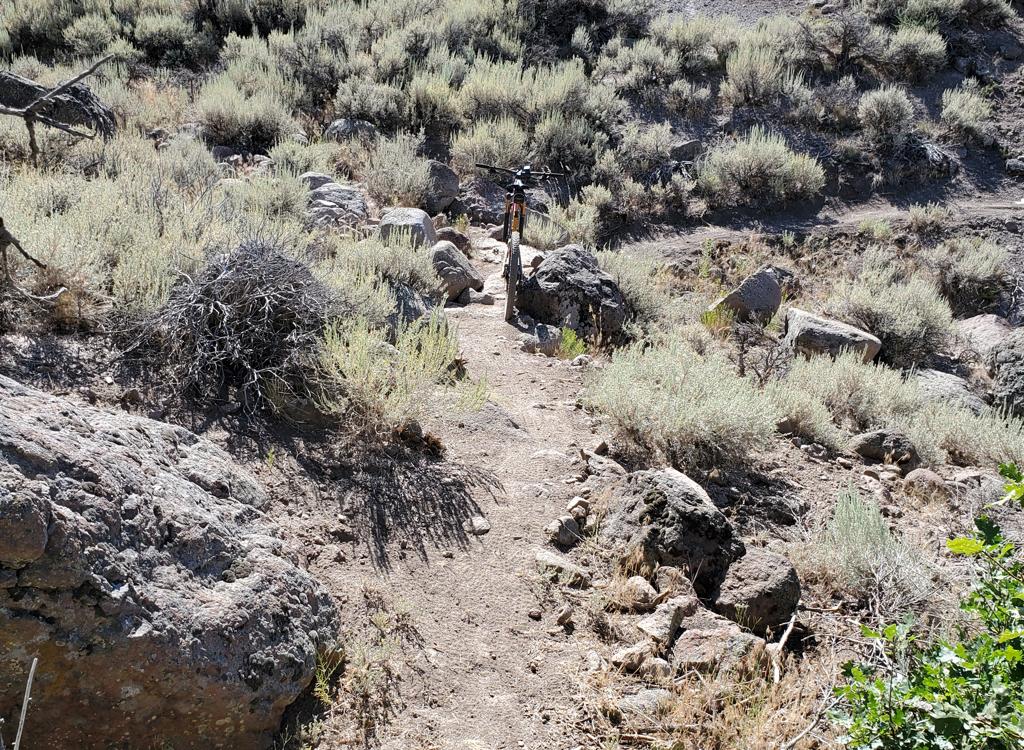
The Midmountain trail is an awesome singletrack that traverses 20 miles of the mountains west of Park City at the 8000-foot level. It extends from Silver Lake Lodge (upper lodge) at Deer Valley in the south to the connector trail to Pinecrest in the north. Several trails climb up to Midmountain (or in spots climb above it), creating many loop ride possibilities.


You can get to the Mid Mountain Trail via Armstrong , Spiro , Sweeney North or Sweeney South, Daly Canyon ( Tour de Suds ), or Deer Valley . Spiro is a direct route to Midmountain and a longtime favorite. And because the northern 11 miles of Midmountain -- from Spiro northbound -- was constructed first, the Spiro-to-Canyons loop is the "classic ride."


Ambush Access: From the lift just above the lodges of The Canyons, find singletrack descending into the valley. Pass Rosebud's Heaven on the right, which climbs up to Rob's (it will still get you there). As you reach a flat area, Rob's Trail comes in on the right. Go left and climb to Midmountain.
Spiro Trail Access: Point-to-point using Spiro uphill would be 18.8 miles. Heading south Park City, turn right towards Park City Mountain Resort. Turn right again to drive past the parking lot, towards the mountains, on Silver King Drive. Turn right on Crescent Road and follow it to the trailhead. Keep left at the first fork and climb the switchbacks. The trail will turn south-southwest. The Mid Mountain Trail forks off, heading back north, at about mile 3.5. [Trail Info]Armstrong Trail Access: This is a mellower climb than Spiro, and cuts a mile off the total distance. Armstrong shares a common trailhead with Spiro. Just after beginning the climb, fork right on the Armstrong Trail and climb 4 miles to Midmountain. [Trail Info]
Crescent Mine Grade Access: The Crescent Mine Grade (CMG) starts as gravel road at the base of the Payday lift at Park City Mountain Resort. After 0.8 miles, a singletrackforks off the road on the right and begins winding around the mountain as it climbs. CMG is 3.1 miles to Midmountain, reaching it about 3/4 mile south of Spiro. [Trail Info]
Sweeney's and John's Access: Climb the Sweeney Switchbacks. As you reach a trail fork at mile 1.5 (just a little before Sweeney's ends on Drift Road), turn left, then right a tiny bit later. You're now climbing John's Trail. At the open area at the top, aim straight west across the saddle and climb the doubletrack to the right of the ravine (stay to the left of the building on the ridge).. You'll find the northbound Midmountain on your right after 0.1 mile. Continue straight for the southbound Midmountain Trail. [Trail Info]
Gravedigger Trail Access: Point-to-point, this is 20.6 miles. Go south in Park City until the road dumps onto Main Street. Follow it uphill into Daly Canyon. When you hit dirt, park and head uphill. After climbing up past the water tank, veer right on doubletrack, keeping right until you find yourself on Gravedigger. Gravedigger heads north to King Road, and will meet John's Trail.

Empire Link Access: As you begin climbing Tour des Suds in Daly Canyon, keep uphill and straight when Tour des Suds forks left. Stay uphill, northbound, and straight as you cross Johns99.

Deer Crest Access: Even longer. From the lower Deer Valley lodge (Snow Park), climb the singletrack of Deer Crest to the upper lodge. As you pass by the ski lifts, find the Midmountain trail on the left, just past the skiier underpass.
 from the Dead Tree Trail, the hardest way to...")

Drive past the parking area of Park City Mountain Resort on Silver King Drive. Turn right onto Three Kings. The next left will be Crescent Drive. Park on Three Kings, then ride 0.1 mile up to the trailhead. The trail is the singletrack next to the gravel road where Crescent Drive turns left. N 40° 39.390' W 111° 30.895'
0.0 Start at Spiro trailhead singletrack
0.8 Eagle trail comes in from L
0.9 Armstrong Bypass rejoins on R
1.6 R off Claimjumper road
3.4 Fork R
3.5 Hard right to reverse direction
Mid Mountain Trail, N 40° 37.917' W 111° 32.171'
RESET to 0.0
1.7 At pass Iron Canyon, drop over ridge
4.1 Switchback
6.8 Cross creek and doubletrack
7.5 Cross paved road
8.0 Cross paved road
9.1 Cross a singletrack, keep straight
9.2 Cross bridge in meadow
Continue on uphill side of building and gondola
Trail on uphill side of clearing, continuing north
10.2 Doubletrack, trail continues to your left
(Holly's trail is just down the DT)
10.4 Lift area, continue straight on DT
Trail on R about .1 mile later
11.3 DT vs continue on to Robs/Ambush
Joins gravel road, continue downhill.
15.1 Fork R uphill past lift
Work down through The Canyons Resort
Riding resources for this trail:
Single-page riding guide
GPS track files (right-click and "Save as..."):
Midmountain ONLY
GPX with connectors
Park City
multi-track area file
High-res topo map (200 KB):
view
Lodging, camping, shops:
Park City area resources
Wasatch Crest to Midmountain Loops page!
The Ultimate File! Intercanyon Connections!
Multi-track, Parleys to Provo!
GPX
Topo maps of loop with Wasatch Crest:
High-Res (1.5 MB)