Killer B Trail
Descent from Bar B to old highway 191
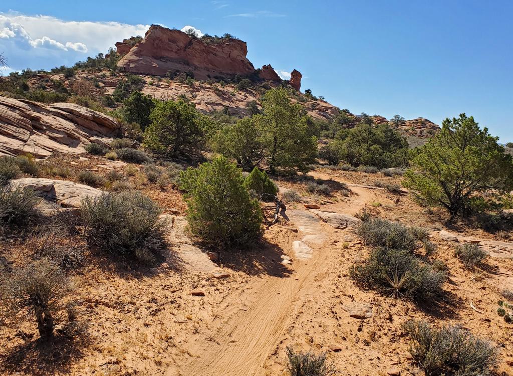
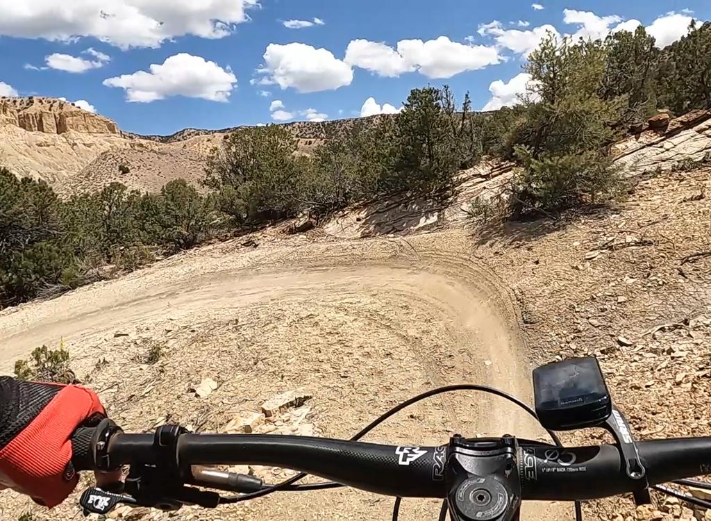
The Killer B is a very short but insanely steep downhill route in the Brand Trails. It extends from the south end of the Bar B loop to old highway 191. Killer B itself is only 0.8 miles in length, but the minimum ride that will get you on this trail is 8.4 miles.

....")


You'll descend 650 feet, an average 20% rate of drop. Only very skilled riders should go on this trail! A couple of sandstone slabs are so steep, you can't stand up in bike shoes -- you gotta ride!
At 0.6 miles from the top, the trail forks. The older trail to the left descends a series of steps. It's hike-a-bike. To the right, you'll descend through some switchbacks on the newer 2012 trail.


Riding notes, Bar M - Killer B - 191 loop:
0.0 Exit parking, turn right and ride south
0.7 Pass Gemini underpass, keep straight
1.7 Fork L (leave 191)
2.3 Fork R (L = Bar M shortcut)
2.9 Keep straight (Bar M loops to L)
After 100 feet, fork R on ST =
Bar B
4.3 Fork R downhill on Killer B
4.6 Veer R on narrow trail
4.9 Fork. Ride R or go L and start hiking!
5.0 R on Old 191 uphill
6.7 Straight on Bar M
8.4 Back at parking


Getting there:
From the north: Drive south on US-191 for 22 miles south of I-70. From Moab, drive 7 miles north from the Colorado River on 191. When you see the Gemini Bridges parking area, look for a gravel road on the opposite side (east, away from the cliffs). Turn onto the gravel road and immediately go right, then right again into the parking area. GPS N 38° 39.38' W 109° 40.66'. The trail starts by riding the gravel road either north or south. Our ride description assumes you'll ride south out of the parking lot, counterclockwise on the Bar M.
Riding resources for this trail:
Single-page riding guide
GPS track files (right-click and "Save as..."):
Track Killer B only
GPX file all Moab Brand area
trails
High-res topo (500 KB):
View
Lodging, camping, shops:
Links to Moab area resources