
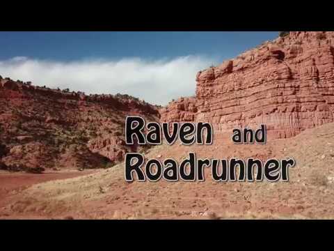

Raven and Roadrunner
at Jacob Hamblin Park
In 2016, Kanab finally got onto Utah's mountain biking map with the construction of bike-specific singletrack on the north edge of town. (Many bike-able trails in Kanab such as Cottonwood and K-Hill are, disappointingly, closed to bikes.) The master plan is for several miles of bike trails in the area. At this time 1.5 miles of trail are complete, forming two riding loops: Raven and Roadrunner.
The trailhead is at 5050 feet elevation. It faces south, so it warms up quickly in the mornings and will be toasty hot on a summer afternoon. The usual riding season would be March through December.


There's alternate dirt parking west of the catch basin (see the map). Locals park here to hike the Kanab Canyon Trail. I suspect that this parking area will be closed off as the area is developed, but for now it's an option.

The loop consists of Roadrunner and the bottom bit of the Kanab Canyon Trail. It's 0.8 miles in length and would rate experienced beginner to easy-intermediate in tech requirement. Aerobically, it's easy, with only 50 feet of elevation change.


Or, from the west end of Roadrunner you can find the Raven Loop and tackle some more-technical riding.


(Note: The Kanab Canyon Trail is designated as a hiking trail. But unlike other area trails, I didn't see a specific "no bikes" sign on the trailpost. You'll note that the 0.1 miles that lies in the wash bottom isn't really bike-able uphill. Kanab Canyon joins the Hog Canyon ATV system near the TV towers 2 miles and 800 vertical feet uphill. The downhill track is included in my area file.)

The loop can be done in either direction. But there are a couple of tricky spots that ride much better going clockwise.


About 150 feet up the connector, you'll see a southbound trail on your left. Flip a circle and hit it. (The trail extending north to your right is a dead end in December 2016.) Now you're on the loop.


A final steep tight turn drops you into the wash southbound, where you can connect to Roadrunner, or head down for another go around the loop.
Very nice trails, well-designed and beautifully constructed. Pretty scenery. Overall, the system doesn't have enough miles to satisfy most riders. But it's good stuff, so if you're going to be in the Kanab area, bring your bike. Plan on taking multiple laps in both directions.

0.0 R from parking on Roadrunner
N37 03.501 W112 31.576
0.2 Keep L (R = tech alternate)
N37 03.533 W112 31.427
0.6 West end of Roadrunner
N37 03.621 W112 31.661
90 degrees L, cross wash going southwest
(Southeast = Squaw returning to TH)
N37 03.552 W112 31.682
0.8 Hard L on Raven
N37 03.575 W112 31.708
1.4 Back in wash bottom
N37 03.623 W112 31.667
Jog over to Squaw trail heading southeast
1.6 Back at parking

Go to 100 East in Kanab. (100 East is where US-89 makes a 90-degree turn in the middle of town, going north-south instead of east-west then turns again in a few blocks.) Drive north on 100 East until you hit the parking strip on the edge of the catch basin.
A good ride nearby is Tom's Canyon .
Riding resources:
Single-page riding guide
Map:
Higher-res
map in separate window for printing.
GPS files:
Multi-track area file
Roadrunner Loop
Raven Loop


