This trail is a doubletrack running around the northern and eastern shores of the Jordanelle Reservoir at around 6000 feet elevation. It's 14.6 miles one-way. For early-intermediate riders, this makes it suitable for a shuttled point-to-point or a partial-trail out-and-back. Strong riders can easily hammer out the entire length out-and-back in around four hours -- 29 miles with 2400 feet of overall climbing.
 | In the early days of UtahMountainBiking.com, photos were shot on film using a disposable pocket camera, then scanned on a flatbed scanner. They were published in a tiny low-resolution version suitable for dial-up modems. Just for fun, here are fresh scans of the two photos from the original review on June 11, 1998. These are two of my kids. On the left, that's Brian rounding the northern tip of the reservoir, where the vegetation is lush as the trail approaches the water's edge and crosses the creek. He was just three weeks short of his 16th birthday. He has two kids now. On the right, Gary grunts the last bit of trail as we return to the western trailhead just north of the big state park -- now rarely used. Gary was 14 in this photo. |
|


The Ross Creek trailhead on the north end (off 248 reached via the Kamas exit from US-40) puts you on the old highway. Come prepared to stuff your fee into the pay envelope -- it's illegal to park along the road uphill. After riding chipped aging asphault for 0.6 mile from the trailhead, you reach the westbound trail on your right. The southbound trail is another 0.4 miles further down the old road. So for a southbound point-to-point (or out-and-back) you'll find your trail on the left as you head down the road toward the water, a mile away from the trailhead.
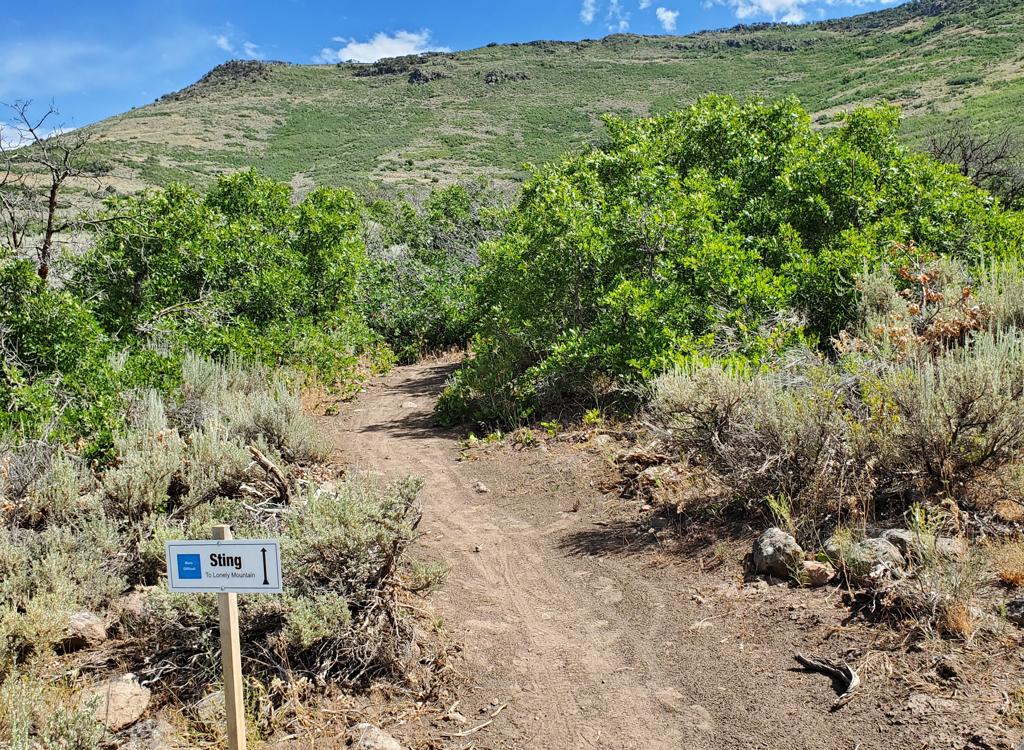
This trailhead also offers riding on the singletrack Wada Way and Keetley trails .


The west-side trailhead isn't used much, but isn't that tough to find. As you pass the west side of the reservoir, exit US-40 toward Jordanelle State Park. Immediately turn left. Stay on that road until you see a settling pond on the left. The paved road drops over the edge toward the water. (The trail ends on that road down below you, but there's no place to park.)
Turn left onto dirt and drive north along the dirt road east of the pond (with the pond on your left) and pass the mine. 150 feet past the mine, there's a wide area on the right, with doubletrack going downhill toward the lake. There are no signs, bathrooms, or kiosk. Just a ramp downward. Keep left and northbound as you descend.
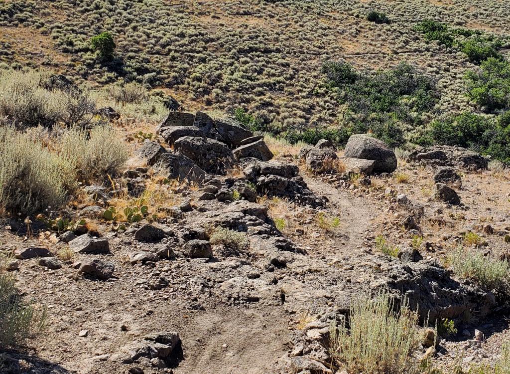
The State Parks people had mown the grass in the overgrown trail, and the presence of fresh bike tracks the weekday morning of my ride confirms that, yes, people still ride this piece of the Jordanelle Perimeter.


On the far southeast corner of the lake is the Rock Cliff trailhead. It's found next to the bathrooms at the small-boat launch area. There's a campground and picnic area along the road through the park.
The fee station was unmanned on a weekday, so you need a check or exact change to stuff the envelope. (See the note below about parking in the Rocky Top trailhead and paying the lower "ride-in" park fee.) Drive straight west until the road ends at the paved parking lot. You'll easily see the doubletrack trail at a ride-around to the right of the bathroom.


, wer...")

This isn't singletrack. Although motor vehicles are prohibited, regular trips by maintenance vehicles mean this trail looks like a jeep road. And it rides like a jeep road. The pitches on the east arm are too steep for beginners or early intermediates. But new riders would enjoy a cruise out-and-back on the northern part of the trail. For strong riders, it's training miles in a beautiful setting. And the rollers are your intervals. So while Jordanelle wouldn't be a first choice to sample Utah riding, it's worth doing.
The views of the lake and surrounding mountains redeem this ride. If you can do it during the early morning quiet -- before the gasaholics turn the lake into a nest of angry motorboat hornets -- it's a fun crank. Put aside your "singletrack only" snobbery and you might find yourself satisfied after 29 miles and 2400 vertical feet.


Mayflower (west) TH: On US-40, take the Jordanelle State Park exit. Immediately turn left and follow this road until it's about to drop to the water. Turn left on dirt road along a settling pond. As you pass a small hill on your right, find a spot to park. The trail is the broad path dropping off to your right. (Unmarked in 2015.)
Ross Creek (north) TH: Take the Kamas exit to Highway 248 eastbound from US-40. After cresting the hill and dropping into a small valley around 3 miles from US-40, turn right at the sign for Jordanelle and proceed to the parking area.
Rock Cliff (east) TH: Just south of the dam on US-40, turn east at the light on Highway 32. After six miles, just as the road drops to the valley floor and crosses the Provo River, turn left to Rock Cliff. Proceed to the pay station. Keep straight until you reach the small boat launch parking.
Scrooge McBike money-saver: If you're riding alone, park just outside of Rock Cliff in the Rocky Top Trail parking lot. Then ride your bike 1.2 flat pavement miles to the trailhead. You'll pay the lower $5 "ride-in" rate, saving $5 (2021 fees) compared to the $10 one-car rate.
One-page riding guide
Topo map for printing: View topo
GPX track file for trail: Download file
Lodging, camping, shops:
Links to Park City area resources
Links to Heber resources