
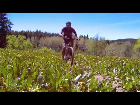

The Jones Ranch Trail is an easy-intermediate trail in Payson Canyon near Payson Lakes, perfect for a short ride by a well-conditioned but beginning mountain biker. The trail can be ridden out-and-back, or as a loop using a short section of the Nebo Loop road, riding the trail either uphill or downhill.
This trail also offers a downhill route with shuttle for DH junkies. Bikers also use Jones Ranch as part of the Blackhawk Loop or Shram Creek Loop .
The Jones Ranch trail is 2.9 miles long, but most riders only do the portion up to the junction with Rock Spring at mile 2.0. At this spot, Jones Ranch joins eastbound Rock Spring for a bit, then splits off to the south as a smaller and tougher trail that almost nobody rides.


Payson Canyon mini-loop with Jones Ranch, east Rock Spring, and northeast Blackhawk

Jones Ranch all the way: Follow the signs for trail 123 (L at 1.9 miles, R at 2.1). Uphill, it's 800 vertical feet over 3.0 miles, then a quick drop to the upper trailhead. (If you're doing it downhill on a big DH rig, plan on pushing the bike 100 yards up the hill to start.) If you're looping via the road, add 2.5 miles of pavement.
Jones to Rock Spring: Our favorite. Going uphill, hold left at the 1.9 mile fork and again left at 2.1 to go east on the Rock Spring Trail to the Nebo Loop near the guard station. This is 700 vertical feet of climbing and 3.25 miles. If you're looping via the paved road, add 2 miles.


0.0 ST uphill on R side of road N 39° 56.544 W 111° 39.449
1.7 Trail joins from L (Payson Lakes)
N 39° 55.383 W 111° 38.939
1.9 Rock Springs joins from R, keep straight
N 39° 55.204 W 111° 38.908
2.1 Rock Springs continues straight (L)
(Jones Ranch trail forks R) N 39° 55.120 W 111° 38.695
3.3 At Nebo Loop road, turn L N 39° 55.662 W 111° 37.948
5.3 Back at parking


Lower trailhead -- Drive 10.9 miles up the Nebo Loop Road. (Pass the Grotto Trail and Bennie Creek Cutoff Trail. Pass the Shram Creek trailhead and cross a cattleguard, then go another 1.8 miles up the road.) Watch for a parking area with a wood-rail fence on your left. The trail starts uphill on the right side of the road, across from the parking area. N 39° 56.544 W 111° 39.449
Upper Jones Ranch trailhead -- Drive about 2 miles uphill from the lower trailhead. Watch for a "Jones Ranch" sign on the right. N 39° 54.992 W 111° 38.068. Turn right into the dirt road and veer right to a primitive camping spot about 150 yards later. The trail starts on the south (uphill) side of that camping area. N 39° 55.068 W 111° 38.109
Single-page riding guide GPS track files (right-click and "Save as..."):
GPX (plus Shram)
Payson Canyon area file
Large-format topo map (700K):
View map
2017 upper Payson Canyon trail topo
Lodging, camping, shops: Links to area resources


