Near the bottom of Jimmy Keen, were looking northeast at the snow-covered peaks ...
Near the bottom of Jimmy Keen, we're looking northeast at the snow-covered peaks of the La Sals. Photos and review by Bruce on November 11, 2014.
Jimmy Keen Singletrack

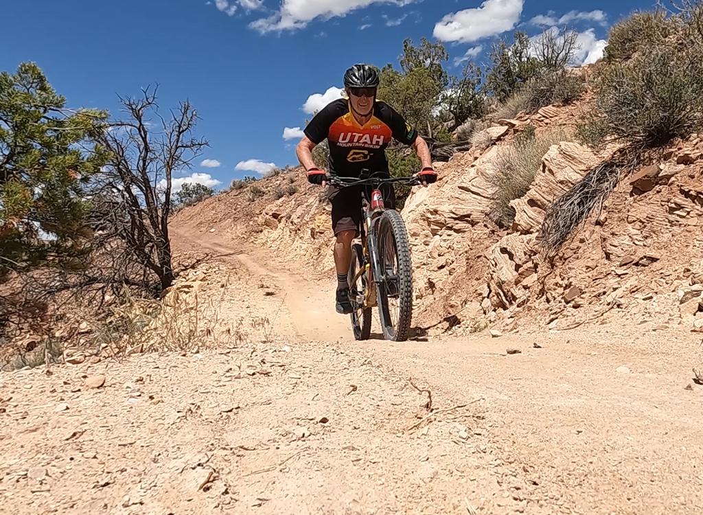
The Jimmy Keen Trail is a meandering singletrack in the La Sal Mountains east of Moab. It's 7.7 miles long and requires at least upper-intermediate technical skills. Because of the altitude, this trail's season is mid-June to mid-October. Most riders will use this trail as an alternative route for the Whole Enchilada ride.

Trailhead
At the top, Jimmy Keen starts at the highest point of the paved La Sal Loop road at 8300 feet elevation. The trail drops away from the parking turnout for the Castle Valley viewpoint in the National Forest on the western slope of the La Sals.

If you're coming downhill from the Hazard County trail, you can either turn right at the pavement and go 1/10 mile to the viewpoint, or go straight across and take Kokopelli 1/10 mile to where the trail crosses.

Approaching the parking pullout from the south. Its a little faster to come up t...
Approaching the parking pullout from the south. It's a little faster to come up the loop road from the south. But it's a long car trip either way.
Jimmy vs. Kokopelli!

This trail is a nice stand-alone ride, but its major use will be as an alternative descending route while riding the Whole Enchilada . Your choice is 1.8 miles of dirt road on Kokopelli to reach the Upper Porcupine Singletrack (UPS) , or 7.7 miles of fun singletrack on Jimmy Keen. If your goal is to get back to town as quickly as possible, take Kokopelli. If you came to Moab to ride your bike, go with Jimmy.

This is NOT Jimmy Keen. Were looking downhill on the soft rutted Kokopelli dirt ...
This is NOT Jimmy Keen. We're looking downhill on the soft rutted Kokopelli dirt road.
Looking west from the viewpoint. The trail-map is on the post, and the trail hea...
Looking west from the viewpoint. The trail-map is on the post, and the trail heads to the left from the sign.
Although you might expect fir and aspen at this altitude, the trail will surprise you. The singletrack twists through groves of scrub oak and broad meadows of low sage. Lower down, there are stands of pinion and juniper.
The trail lies 100% on Forest Service land. Both professional trail crews and local volunteers worked on the route through summer 2014, with the trail open and ready to ride by the end of October.
Approaching a bridge over a little ravine. The morning sun hasnt yet softened th...
Approaching a bridge over a little ravine. The morning sun hasn't yet softened the surface. If you go in the off-season, ride ONLY when the trail is frozen!
Most ride-overs are surrounded by a bit of cattle-churn. Pedaling south.
From the Loop Road, the trail meanders generally downhill and south. The terrrain here is low sage (with wildflowers in summer) and groves of gambel oak.

You'll encounter quite a few fences, all with ride-over cattle-extruders. Eight, ten, twelve? I quit counting. This area is summer range for beef.

One particular zone, about two miles in, had seen a wealth of future cheeseburgers tromping along the trail since the last rainstorm. Hopefully, degradation of the trail by cattle won't be an ongoing issue.

My ride was a frigid morning in mid-November, so the hoof-prints were frozen solid. The bumpy zones were less than 1/4 mile in all.

Yeah, this is the trail. Keep pedaling. Its not that bad, and soon youll be on s...
Yeah, this is the trail. Keep pedaling. It's not that bad, and soon you'll be on smooth dirt again.
Heading southwest as the trail meanders about.
The trail is constantly turning as it skirts groves of oak. There will be occasional rollover rocks. After descending gradually for a couple of miles, the trail climbs back up a bit. In descending 550 vertical feet, you'll climb 350. But it's all gradual.
The open areas give you a wide view over the sandstone cliffs and canyons to the west. The area at the southern end is Jimmy Keen Flat.
View southwest.
View southwest.
View southeast as we regain a little altitude.
To the east, from north to south, are the peaks of the La Sal Mountains. After crossing Jimmy Keen Flat the trail turns west and descends.
As the trail turns back west and north, the trail encounters pinion pine and juniper.
Heading west.
Heading west.
Following yesterdays tire tracks. Today the snow is crispy-crunchy solid.
Following yesterday's tire tracks. Today the snow is crispy-crunchy solid.
Although I rode this trail in November, you're not likely to do the same. 2014 saw a very dry October, which limited the amount of snow. After a hard-freeze night, I started early in the day and got off the trail before the sun could soften the surface. If the drop-in to Jimmy Keen is squishy, please take Kokopelli so you don't rut up the singletrack.
I understand that the Forest Service plans to add a few more bridges. In the meantime, enjoy plunging through a couple of ravines.
Parking the Superfly for perspective, before going back and railing the dip.
One of several lovely high-speed turns.
Many of the turns already have nice berms. But it's not really a DH trail. The slope is mild, the terrain goes up and down, and the twists are many.
The trail ends at the boundary between National Forest and BLM land at 7750 feet elevation. The broad doubletrack is the Kokopelli Trail. Right is back to the top; left takes you down to the Sand Flats Road.

Straight across from you is the UPS (Upper Porcupine Singletrack) trail. 

Looking northwest from the end of Jimmy Keen, the UPS is right across the road.
About 100 yards up UPS from Jimmy Keen, were at the cliff edges. Hey, if you don...
About 100 yards up UPS from Jimmy Keen, we're at the cliff edges. Hey, if you don't do UPS now that you're here, it would be tragic.
If you're doing the Whole Enchilada, cross Kokopelli to UPS.

If you'll be heading back to your car on the La Sal Loop road, at least check out the UPS trail. You can go down-and-back, or circle back via the Sand Flats Road and Kokopelli (see the big map).

A loop down Jimmy Keen and up Kokopelli is just under 10 miles (1000 vertical feet of climbing). A loop with UPS and back up Kokopelli is around 15. But I'm not a fan of riding the Sand Flats Road, and the upper part of Kokopelli isn't a lot of fun to climb. I'd suggest you backtrack on UPS and Jimmy. It's worth the extra miles.
Heading back uphill on Jimmy Keen.
Map of Jimmy Kean
Map of Jimmy Kean
Getting there, from the south (about 25 miles):  On Moab's Main Street, head south on US-191. Zero your odometer at Center Street Center Street and drive 8.2 miles. Turn left toward Ken's Lake - La Sal Loop Road. At the T intersection 1/2 mile later, turn right. Climb uphill on the paved La Sal Loop Road. Around mile 25, just after passing a connection to Sand Flats Road on your left, you'll see a small doubletrack on the left with a sign "Kokopelli Trail." You're now at the top of the road. 1/10 mile later, pull left into the parking loop. The trail is on the west side.

From the north (about 33 miles):  At the Colorado River (2.4 miles north of Center Street in Moab), turn east on highway 128. Drive along the Colorado for 15 miles. Turn right on the paved Castle Valley - La Sal Loop road. Zero your trip odometer. At mile 10.5, turn right (south) on the La Sal Loop Road. Drive another 6 miles to the viewpoint on the right side of the road.

Riding resources for this trail:
GPS track files (right-click and "Save as..."):
    Jimmy Keen only
    Whole Enchilada trails
    Down Jimmy, up Kokopelli
    Figure-8 w UPS
Large-format topo map for printing:  View map
Lodging, camping, shops:      Links to Moab area resources