Early in the ride, were looking at cliffs of Navajo sandstone, rising from a bas...
Early in the ride, we're looking at cliffs of Navajo sandstone, rising from a base of Wingate (the horizontal layers near the road at right). Photos April 21, 2003 by Bruce.
Hurrah Pass

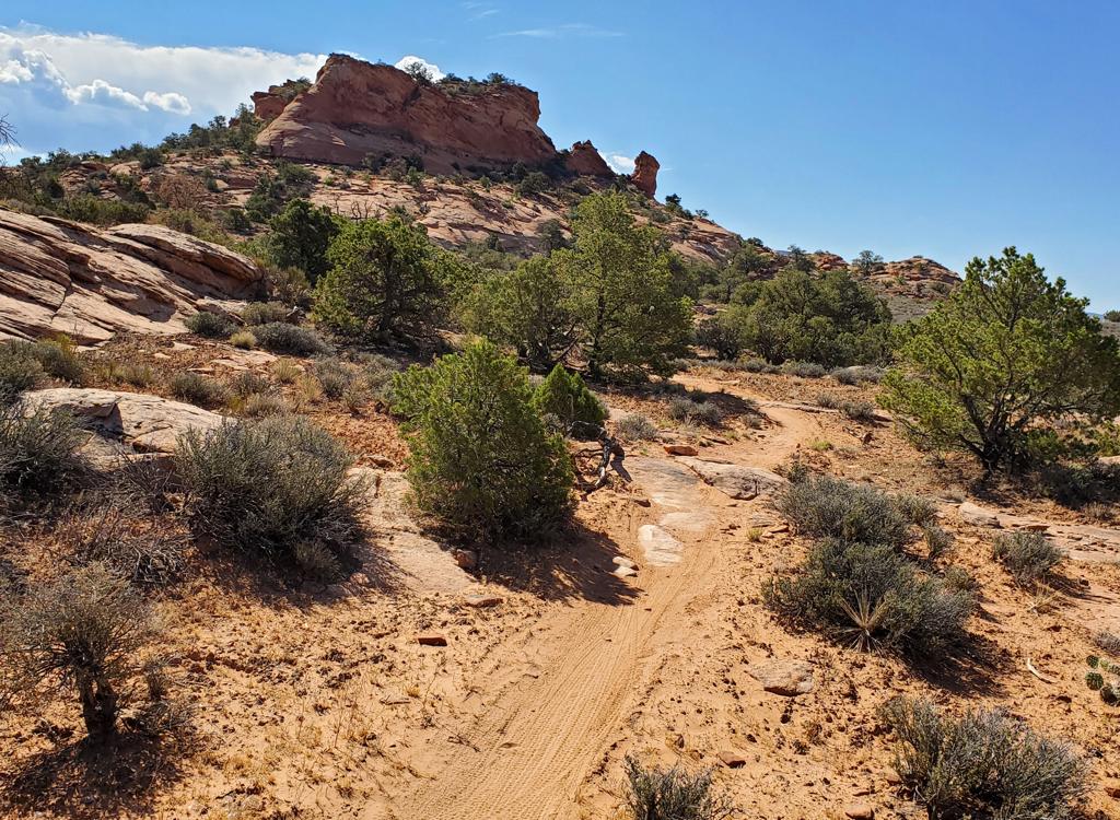
Hurrah Pass is a fairly easy ride on gravel and dirt. It's 9.4 miles each way (from the Amassa Back parking area), but you can shorten the ride by driving a portion of the road. Starting at 4000 feet, it climbs to 4800 at Hurrah Pass, with total climbing of 1100 vertical feet. The surface is a tad more technical during the final 2-mile climb to the pass, but should still be within the reach of a beginning rider.

Many riders start this ride from town. This adds about 7 miles each way, but it's flat cruising on paved road. Kane Creek Blvd is quite narrow as it follows the Colorado River, and drivers may be gawking at the cliffs, so be cautious.

For a shorter ride with children, you can drive the family car over the first pass into Kane Spring Canyon.

These petroglyphs are found just to the right of the road, about 0.7 miles from ...
These petroglyphs are found just to the right of the road, about 0.7 miles from the Amassa Back parking area.
After the initial climb, the road descends sharply through these switchbacks int...
After the initial climb, the road descends sharply through these switchbacks into Kane Springs Canyon. The cliffs are Navajo sandstone, the cross-bedded layers are Kayenta.
For the first 6 miles, the road is gravel. There are some washboard sections. This can create problems for young children with small-tire bikes. Hills can be conquered with the typical El Cheapo children's 5-speed.

This is a nice "date ride" with friend or spouse. Most of the riders you pass will be couples.

From Kane Springs Canyon, the rock layers rise gradually, exposing the sheer Wingate cliffs, then the underlying bands of the Chinle, then the deep browns of the Moenkopi. As the canyon opens up, it exposes the butte-and-valley vistas you've seen in so many western movies.
The golf ball, about 5 miles into the ride.
Were nearing the final climb to the pass.
We're nearing the final climb to the pass.
Climbing up to Hurrah Pass, eyeball the weird rocks in the Moenkopi layer. At the pass, look west into the canyons of the Colorado.

For a truly gnarly return route (for advanced riders only) consider looping back via Jackson Hole . Otherwise, head back the way you came.

Ride notes:
0.0   R and uphill from parking
        N 38° 31.717' W 109° 35.802'  Alt = 4000'
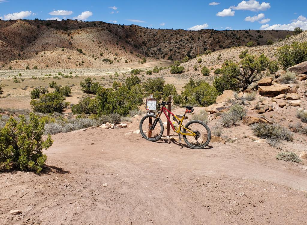
0.6   Pass Amassa Back trail
0.8   Petroglyph rock on R
1.2   Ridge, 4300 ft, descend switchbacks
2.8   Keep straight, Hunter Canyon on L
6.2   Fork R (L = Kane Springs)
        N 38° 27.967' W 109° 36.009'  Alt = 4150'
9.4   Summit Hurrah Pass
        N 38° 28.919' W 109° 37.509'   Alt = 4800'
        Turn around and head back
Looking back from the pass, goblins cover the Moenkopi slope at right, while we ...
Looking back from the pass, goblins cover the Moenkopi slope at right, while we look up Kane Springs on the left.
Hurrah Pass
Hurrah Pass
Getting there:
Head south on Moab's Main Street. When you reach the McDonald's on your right, turn right onto Kane Creek Blvd. After 0.6 miles, go straight where the road seems to turn right (500 West). Drive along the Colorado River about 5 miles until the road turns to gravel, and head uphill about 2/3 mile. Parking is found at GPS N 38° 31.329' W 109° 35.501', and further uphill in the official "Amassa Back Parking" area at GPS N 38° 31.717' W 109° 35.802'. Start the ride by heading up the gravel road. For younger riders, you can skip the initial climb and descent by driving another 1.3 miles over the ridge, parking along Kane Springs Creek. (Adjust your mileage as necessary.)
Riding resources:
One-page printable riding guide
GPS track file (right-click and select "Save Target as..."):
     GPX
Topo map for printing:
     Lower Res
     High-Res
Lodging, camping, shops:   Links to Moab area resources