![]() |
Hobble Creek Paved Trail
This is a paved trail, great for family rides. Ride it as an out-and-back (up the canyon and back down). It's 4.5 miles each way, but you can drive uphill to several alternate parking spots for a shorter ride. The slope is easy, except for one short section (100 yards) where the climb is stiff enough that little guys without gears will walk. Total elevation gain is only 350 feet. Jessica leads Kristen past the reservoir, about 1.5 miles into the ride. The reservoir is an alternate spot to park and catch the trail. Photos June 16, 2006. |
|
UtahMountainBiking.com is your source for bike trail info, repair instructions, feature articles, first aid, fitness, and goodies. |
![]() |
This is a great trail for kiddies in bike-trailers. At mile
3.2, there's a steeper spot that will take a bit of muscle to climb if
you're pulling a trailer. Little guys with training wheels or single-gear
bikes will probably need to walk this slope. (Once you're to the top of
this 100-yard climb, it's easy going again.) The rest is pretty cushy.
Just enough occasional change in slope for beginning riders to practice
changing gears.
Most of the time, you're riding through groves of gambel oak. Near the creek, there's choke cherry with occasional maple and box elder. The ride is prettiest in May, but can be ridden most of the year. Jessica climbs upward, on the way to a 9-mile round trip. This is a nice trail for beginning riders, and for getting back into shape after a long layoff from biking. |
| At mile 2.8, there's a large parking lot, with a picnic
table. This is a good parking area for short exploration rides with
training-wheel riders.
There are benches along the trail about every half mile. You'll cross Hobble Creek a couple of times on spacious, well-protected bridges. No worries there. At mile 3.2 comes the major hazard of the ride: the trail crosses the busy (high-speed) canyon road. Have your little guys in check here!
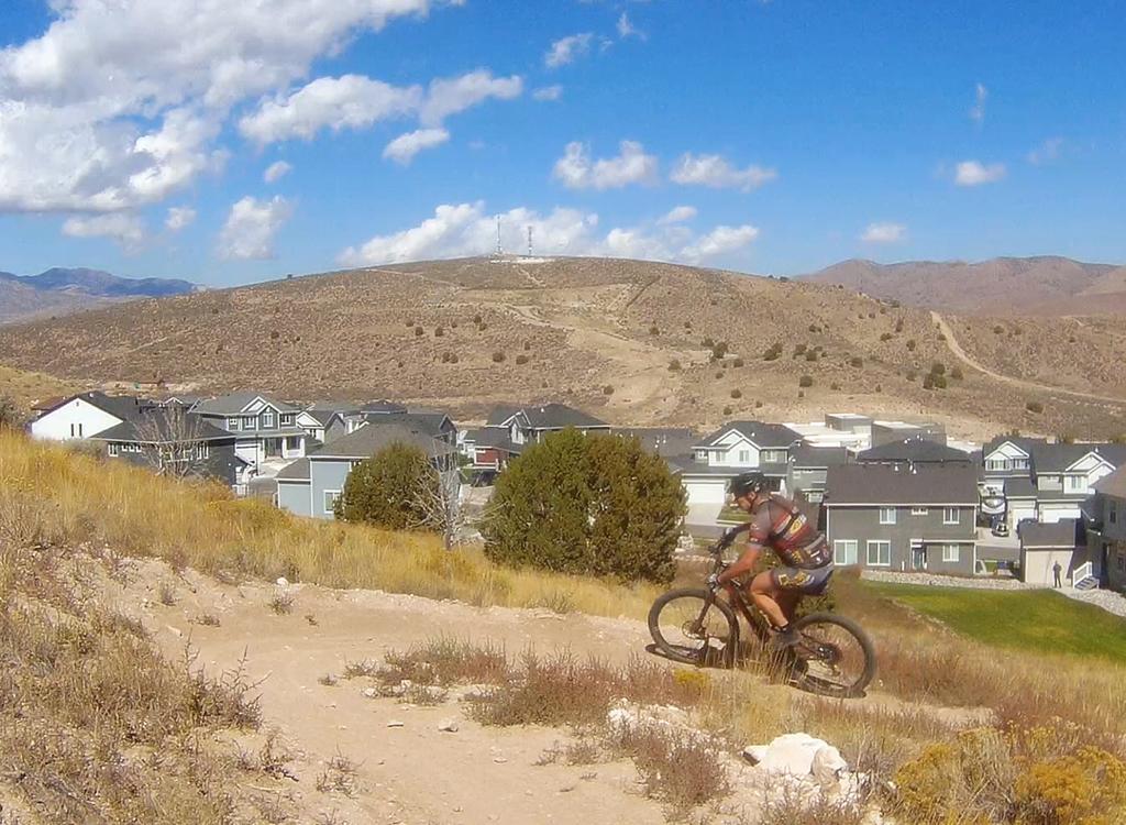
 Alex (age 16) hammers his way uphill. |
|
![]() |
Riding Guide from "official start:" 0.0 Begin paved "sidewalk" N 40° 09.25 W 111° 34.78, altitude 4800 1.5 Reservoir N 40° 09.185 W 111° 32.704, altitude 4950 2.8 Parking - Picnic N 40° 09.461 W 111° 31.836 3.2 Cross road, begin short climb 4.5 End at road fork - Rotary Park N 40° 09.849 W 111° 30.071, altitude 5140 Here's Kristen, age 18, celebrating a beautiful day and a great family ride. |
| Getting there: Take the 400 South Springville exit (260) from I-15, turning east on U-77. Go straight through Springville. As you begin to climb the foothills, you'll come to a 4-way stop. Turn right (southward) towards Hobble Creek Canyon. The road will begin to veer back to the east. As it turns eastward, a road comes in from the right (south side), and you'll notice that the sidewalk on your right has become a wide paved path. This is where the trail starts. Alternately, you can drive 1/4 to 1/2 mile up the road to find alternate parking. |
| Riding Resources for Hobble Creek: Large-format Topo map: Download Single-page riding guide for printing. |
GPS track files (right-click and "Save as..."): Garmin National Geographic Google Earth GPX |
|
For lodging in the Hobble Creek area, as well as travel guides and information on other activities, may we
suggest: |
[Go
to UtahMountainBiking.com's Trails Options Page]
Copyright 2006 Mad Scientist Software Inc