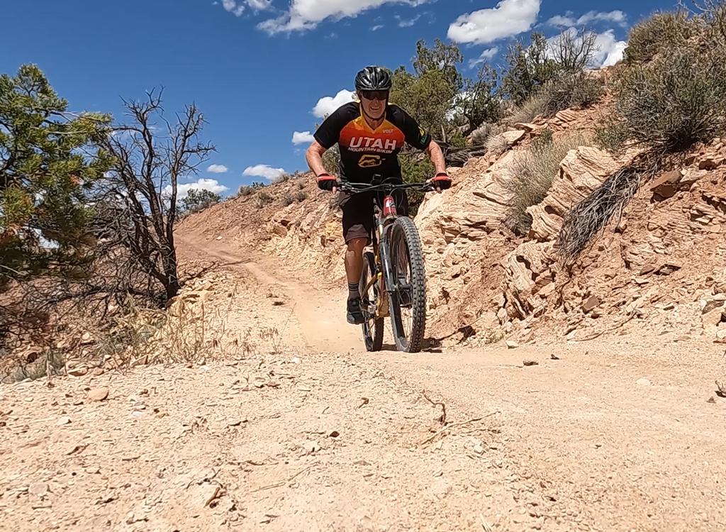
Dominic Bria rolls up the slickrock mesa towards Hidden Canyon. April 5, 1998 by Bruce Argyle
Hidden Canyon North Trail
Hidden Canyon North TrailThe Hidden Canyon North trail is found on the Blue Hills Road, 18 miles north of Moab. After a half mile of dirt road, you encounter broad slickrock playgrounds. This is lesser-known, and less ridden, trail. But although short, it's a good place to cruise around and waste time while you're in the area! It's fun even for beginning riders.
End of the trail. The view into hidden canyon is, well, a jaw-dropper. On the way back, we
pop over a ridge onto another rolling slickrock playground hundreds of
yards wide and a mile
long. The whole loop is around 7.5 miles, low-intermediate technical difficulty
and moderate-to-novice
aerobic requirement.

Chad looks over the depths of Hidden Canyon. April 5, 1998 by Bruce Argyle, Canon A-1, 55 mm

Hidden Canyon ride
Getting there:
Drive south on US-191 for 15 miles south of I-70 (about 16 miles north of Moab). Turn west (right) onto the dirt Blue Hills Road. After 2.4 miles, turn left (south) at GPS N 38° 44.673' W 109° 46.745'. Keep right at the next intersection, and right again on the Hidden Canyon road at GPS N 38° 43.753' W 109° 47.186'. Find a parking area on your right. Head down the road until it climbs up the slickrock about 1/2 mile later. Small rock piles (cairns) mark the route. Other nearby quick rides include Bartlett Wash and Klondike Bluffs .
Drive south on US-191 for 15 miles south of I-70 (about 16 miles north of Moab). Turn west (right) onto the dirt Blue Hills Road. After 2.4 miles, turn left (south) at GPS N 38° 44.673' W 109° 46.745'. Keep right at the next intersection, and right again on the Hidden Canyon road at GPS N 38° 43.753' W 109° 47.186'. Find a parking area on your right. Head down the road until it climbs up the slickrock about 1/2 mile later. Small rock piles (cairns) mark the route. Other nearby quick rides include Bartlett Wash and Klondike Bluffs .
Riding resources:
One-page printable riding guide
GPS track file (right-click and "Save as..."):
GPX
Lodging, camping, shops: Links to Moab area resources
One-page printable riding guide
GPS track file (right-click and "Save as..."):
GPX
Lodging, camping, shops: Links to Moab area resources