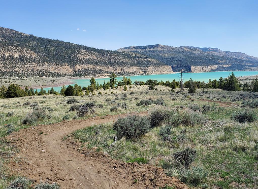
This is one of the best rides in Utah. The 15 miles of singletrack
follow the edge of Good Water Canyon. It's upper-intermediate level riding
that seems to go on forever. Plus great views, coming so often you'll stop
looking! As a loop, the entire ride is 21 miles. Intermediate riders can
cut the loop in half for a shorter ride. There are no sustained climbs,
but the trail has frequent little dips and endless twisting turns.
View near the trail's beginning,
overlooking the confluence of Good Water and the San Rafael. Ride
description and photos by Bruce, based on a ride October 19, 2009.
The ride is shaped like a cancerous maple leaf, because the
singletrack hugs the edge of the many side-channels that feed into Good
Water Canyon. Good Water is a short steep-walled side canyon off The Little
Grand Canyon of the San Rafael River.
Overall, the ride has only about 300 feet of elevation difference
between the south end (at the San Rafael gorge) and the lower north end
where you curve around the tip of Good Water. Top
elevation is 6250 feet.
Looking east, this area of the San
Rafael River is called The Little Grand Canyon. You can see why.
Riders can have different reasons for liking a trail:
Gut-busting climbs
Downhill that goes on forever
Challenging technical stunts
Smooth mindless pedaling
This trail offers none of the above. But if you like cross-country
singletrack that's interesting to ride and also offers great views, this
is your trail. For that type of riding, it might just be the best in Utah.
My Cannondale Rush is loving the
singletrack. There's plenty of bumpy rock slabs, so for a ride of this
length, you may want plush suspension.
The trail is fun to ride, with almost constant turns and
up-and-downs. There are some rock ledges to bump over; nothing scary or
particularly tricky. Countless times the trail comes to the edge of the
cliffs and slams you with amazing views.
The ride starts at the Little Grand Canyon Overlook just east of The
Wedge overlook. You can drive to the trailhead, or ride from one of the
many campsites along the loop road.
Looking down at a rincon, abandoned on
a cliff ledge when the river changed course, then dug deeper into its new
channel.
The trail starts as doubletrack heading north along the
cliff edge of Good Water Canyon. After about 2/3 mile, the DT heads away
from the canyon and the trail becomes singletrack. Watch for rock cairns
as the singletrack trail rejoins the DT very briefly a few times during
the next mile.
Looking back toward the San Rafael
gorge as we head north along the stellate edges of Cold Water.
In general, if you're in doubt you should always try to stay right, and as
close to the canyon as you can. Any singletrack to the left is usually a
bailout route to a group campsite. At mile 4.9, you'll run across the first
connector trail that goes to a campsite. Just stay R and watch for rock
trail markers.
At mile 6.8, you'll skirt another primitive campsite. Keep right, and
don't be suckered into going to the main road.
Near the main canyon, the side canyons
deepen into deep slots.
At mile 8.2, the trail crosses a campsite road. Turn R on
the road, go about 50 feet east, then find the continuing trail on the
LEFT side of the road. This is probably the only time you'll ever do
"left anything" on the ST. You'll skirt the campsite and quickly find yourself
on the rocky edge again. Now return to your "keep right" rule.
The road at 8.2 is a good breakout-point for riders who're planning a
short ride. To quit, go left until the campsite road hits the main road.
Go left, then left again in 1/4 mile. You're now on the main road, and
will be back at your car in 2.9 (uphill) miles.
Typical riding surface. Ledgy white
rock and orange dirt.
The riding surface is orange dirt mixed with limestone
ledges of the Carmel Formation. The harder Carmel protects the Navajo
sandstone. Once the Carmel limestone layer breaks down, the underlying
rock quickly turns into a chasm. (If you're wondering where the Entrada
is, it's in the occasional red dirt under your tires. Unlike Moab, the
Entrada here doesn't sit right on top of the Navajo layer.)
The eastern half of the singletrack is about 1.5 miles shorter. When
the trail brings you back to the Little Grand Canyon, you'll turn east for
the last time. When you hit a row of big purple rocks, find the doubletrack heading east.
About as far north as we can get,
looking back south.
The dirt road is a fast ride. It's 6 miles back to the car.
It took me about 1/2 hour. The road curves in a big semi-circle.
Occasional smaller
campsite roads fork off. Just stay on the main road.
After 3.1 miles, you'll reach the Wedge kiosk and fork left for the
final uphill 2.9-mile push back to the overlook.
On the canyon's east side, we're
looking southwest. The high point at upper right is where we started.
Good Water Rim ride,
starting from Wedge Overlook...
If the above video does not appear on your
browser/device, you can watch it on YouTube by clicking
here.
Riding notes, clockwise ST,
counterclockwise road return,
from the Little Grand Canyon Overlook parking loop:
0.0 From the eastern overlook, north on DT N39 05.731 W110 44.937
0.9 You should be on ST now, watch cairns
4.9 Keep R N39 06.544 W110 45.370
6.8 Keep R N39 06.996 W110 45.305
8.2 R onto road, immediate L onto ST N39 07.524 W110 45.044
(Bailout option here: L on
road)
15.0 East on DT N39 06.734 W110 44.029
15.9 Keep L (R=campsite and views) N39 07.080 W110 43.292
16.4 Keep L N39 07.400 W110 43.587
18.1 L on main road N39 07.377 W110 45.431
20.4 L along canyon edge N39 05.582 W110 45.537
21.0 At parking
View west from the eastern side of Good Water as it
meets the San Rafael.
Getting there, from the north: Exit US-6 in
Price, southbound on highway 10. Go through Huntington. (In Huntington, there's an alternate road
that ends up at the trailhead. I haven't tried it.) As you approach Castle
Dale 28 miles from Price, watch for a sign that says "San Rafael
Access" and a broad dirt road on the left (heading east). There's a
huge corral near the start of the road. Once you're on the dirt road, go
12.2 miles. Turn right at an X intersection where you'll see a trail kiosk
and a bathroom. West trailhead: Drive 7 miles south, staying on the main road. When the
road hits a cliff edge, turn left and go another 1/2 mile to the Little
Grand Canyon Overlook. Park here. Start your ride on the small doubletrack
on the north end of the circle. Main trailhead: Drive 4.4 miles, then turn left at a kiosk.
Drive 1/3 mile east to the main trailhead. This trailhead lies in the
middle of Good Water Rim. East trailhead: At mile 4.4 of the Wedge Overlook road as
above, turn left. Drive 3.1 miles to a camping area and trailhead at the
far southeast end of Good Water Rim.
From the south: On I-70, take the Sinbad or Ranch Exit
131, 25 miles west of Green River. (Note! Until a few years ago, this exit
was "Ranch Exit 129." It is still shown that way on most maps
and software. Never mind the number. When you see "Sinbad" get
off the freeway!) Head north. The road will veer
east along the freeway, then turn north again. After 21 miles on dirt
road, cross the San Rafael River and enter Buckhorn Wash. Nine miles
later, turn left on Oil Dome road and drive about 2 miles to the Wedge
road, turn left and proceed as above.
Bathroom: Wedge Overlook, trailheads
Water: bring your own
Camping: group sites around The Wedge
Bike services: Price
Copyright 2010 Mad Scientist Software Inc
Note 2010: Locals often refer to
this trail by another name. Their trail name includes the name of the guy
who worked for five years to build it. Lamar Guyman deserves our thanks. But he
asked that I give this excellent trail a different "official"
name. So I picked Good Water Rim, because the trail runs along the edge of
Good Water Canyon off the San Rafael River. That has now become the
official BLM name.