![]() |
Glenwild Loop
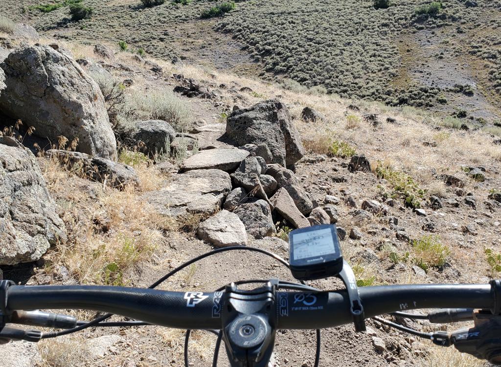
The Glenwild Loop is an 8.4 mile intermediate-technical loop, located just across I-80 from Park City. Starting at 6350 feet, the loop has 800 feet of elevation change, with a total of 1200 feet of climbing. A cutoff trail splits the loop in two, if you're looking for a shorter ride. This ride also connects to the Stealth and 24-7 trails. View from the top of the ridge, looking east over Parley's Summit. Photos June 26, 2002 by Bruce. |
|
UtahMountainBiking.com is your source for bike trail info, repair instructions, feature articles, first aid, fitness, and goodies. |
| Looking at the mountainside near the trailhead, the first
thought in your mind will be "I didn't come to Park City to ride in
sage brush!" But hang on. This trail is very much worth your time.
You'll pass through three ecosystems: sage and bitterbrush, sedges and
bottomland, and alpine transition zone with maples and oak. Wildflowers
include miniature penstemmon, larkspur, lupine, sticky geranium, yampa,
and even cactus.
The trailhead starts here at the creek. Meadows of sedges grow among the brush in the valley just over the next hill. |
|
![]() |
For beginning riders, this trail is one of the easiest
technically of
the Park City area. (The stiff climb over the ridgeline may be
too much for those who are totally out of shape.) Advanced riders will
love the "hammer-down" sections, and can complete the loop in
around an hour. Most switchbacks have wide-radius turns that invite you to
hit them with speed.
Heading north across the valley, we'll climb to the top of the ridgeline in the distance. |
| This trail is the first major Park City ride to melt out in
the spring. However, there are some clay sections that will bog your tires
if the trail is soft. I suggest you boogie right through the lowland
section (the spot with the sedges and many bridges). If you tarry, the
bugs will eat you.
Surprising for Park City? A prickly pear cactus blooms along Glenwild Trail. This trail features different ecosystems, as the high plains desert meets lowland swamp near alpine highlands. |
|
![]() |
The trail is easy to follow: when you come to a road, the
trail continues straight across. The intersection with the cutoff trail at
N 40° 44.372' W 111° 32.482', however, requires a little explanation. Counterclockwise: the cutoff trail will merge on your left as you near a road at mile 1.05. Then, after the descent from the high ridge, you'll come onto a fire break at mile 5.9. The trail straight across the road is the cutoff trail! To complete the full loop, turn hard right and roll down the firebreak, which turns into singletrack after about 100 yards. |
|
Clockwise: you'll come up the firebreak at mile 2.5. Turn hard left
uphill. (The trail on the right is the cutoff trail.) Then at mile 7.4,
keep left downhill at the trail fork.
View back towards Park City. The spot on the hillside at right is the Olympics Sports Park. |
|
|
The Glenwild Loop can be used to access the Cobblestone
Loop, 24-7 and Bob's Basin Freeride, and Flying
Dog. |
![]() |
Getting there: At the I-80 Park City exit, go north (left from the exit if you're coming from SLC) to the frontage road. Turn right. About 1/4 mile later at the second road on your left, turn left. Spot the parking area, with bathroom and trail map kiosk, just before the creek. GPS N 40° 43.662' W 111° 32.051'. Head up the road to start your ride just past the bridge. Turn right on singletrack for a counterclockwise loop, left for clockwise. |
| Riding resources for this trail: Single-page riding guide GPS track files (right-click and "Save as..."): Garmin National Geographic Google Earth GPX Note: Thanks to Dave Austin for the GPS track data! Large-format topo map: download Cobblestone Loop page: Cobblestone Photo: A moose watches a biker |
|
|
For additional information, including
nearby lodging, rentals, camping, and current conditions, may we suggest: |
[Go to Trails Index Page]
Copyright 2002 Mad Scientist Software Inc