Wheeler Creek, Middle Fork, East Fork Trails
The East Fork Loop is a fast ride on broad, well-groomed singletrack. The loop is 5.8 miles in length, with 800 vertical feet of climbing, to a peak altitude of 6200. The surface is easy-intermediate technical. Riders who want more of a workout can start from the Wheeler Creek trailhead near Pineview dam, for a 9.3 mile 1300-vertical ride that's still pretty easy overall.


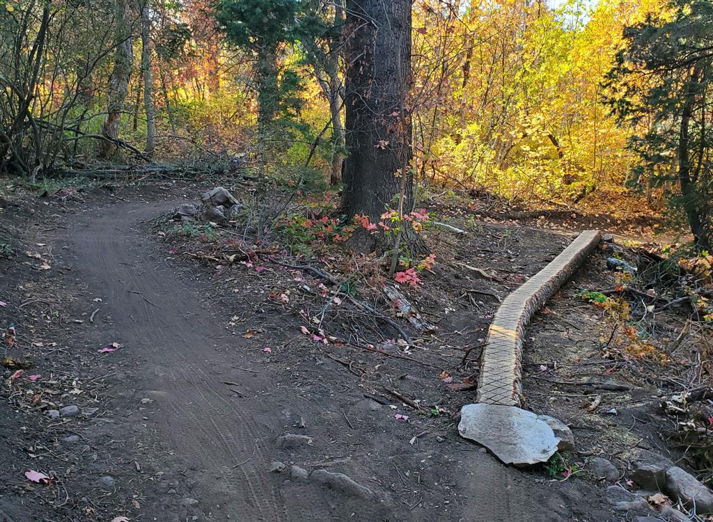
There are only occasional breakouts where you'll see views of the surrounding mountains. Most of the trail is densely forested.
Some sections of East Fork and Wheeler Creek pass through meadows of clay. These areas get very ugly when wet. I recommend against early-season, late-season and rainy-day riding on this loop.


From the Art Nord trailhead on the old Snowbasin road, go back out to the road. Ride around the metal gate and pedal about 50 feet uphill. Turn left on the singletrack and begin climbing.
Climb 700 vertical feet over the next 2.8 miles. The first trail fork you'll encounter is the Middle Fork. Turn right. (If you need to go out to the road, it's just 0.2 miles away, uphill on East Fork, at the Green Pond trailhead.)


The Middle Fork starts out pretty mellow and plush. Then it gets steeper and rooty and rocky. You'll quickly understand why most riders prefer to go clockwise. (It's very ride-able uphill. Just a bit more work than the gentle pedaling up East Fork.)
Now pedal another 1/2 mile to the Wheeler Creek trail.


Fork to the right on Wheeler Creek. Play dodge-the-loose-boulders on the heavily eroded non-sustainable rock-filled trail.
After 1/3 mile, keep right as the Icebox Canyon trail forks away on your left. There will be a little bit of climbing to get over a low hill as you approach the Art Nord trailhead, then the climb up the bank of the creek itself.
Good ride for intermediates or experienced beginners. Not much on views, but decent riding. The loose rock on Wheeler can be a problem for small wheels (kids) and beginners who can't let go of their brakes. An out-and-back on East Fork might be a better choice for them.


Add 1.8 to mileage if starting from Pineview Trailhead
0.0 Art Nord Trailhead (Wheeler Creek trail)
West downhill on ST near back of parking area
N 41° 14.017' W 111° 49.224' Alt=5430
1.4 Fork L for Middle Fork trail
N 41° 13.707' W 111° 50.307' Alt=5640
1.9 Cross road to Middle Fork trail
N 41° 13.350' W 111° 50.270' Alt=5720
3.3 Fork L on East Fork trail
(R goes 0.3 to road and Green Pond trailhead)
N 41° 12.453' W 111° 49.995' Alt=6220
5.8 Back at Art Nord Trailhead
From the south, leave I-15 for US-89 in Farmington. Turn right (east) to take I-84 up Weber Canyon. Take the Huntsville/Pineview exit and turn left under the freeway, then right to continue up the canyon. About a mile later, follow the signs to turn left towards Huntsville on U-167. 6.8 miles after leaving I-84, turn left on U-226 towards Snowbasin. The Green Pond trailhead is at a parking turnout 1.3 miles from the turn. The Middle Fork trailhead is 4.7, and Art Nord is 6.0.

Single-page riding guide for printing
GPS track files (right-click and "Save as..."):
Small loop with Middle Fork
Loop Green Pond from Art Nord
Loop around Snowbasin to Icebox from Wheeler TH
GPX area file (multiple trails)
High-res area topo map for printing: View map
Lodging, camping, shops: Links to Ogden area resources