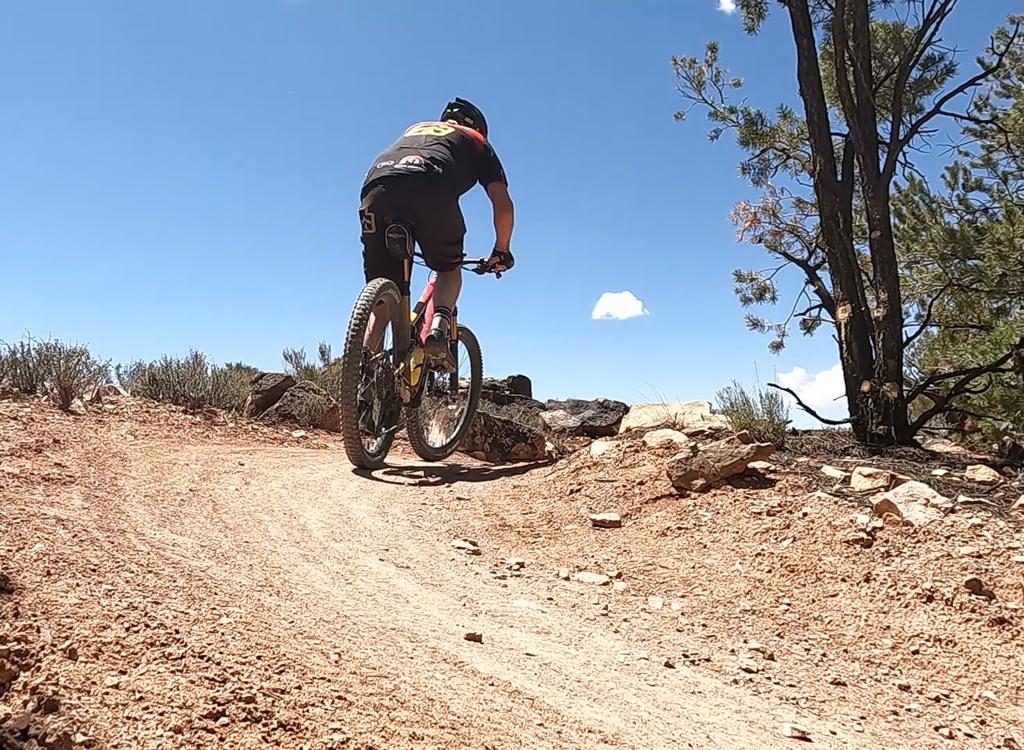

Typical trail section on Dino Flow, as a ribbon of dirt hugs the lower edge of the slope. Original photos and ride description March 24, 2012. Updated May 2017.
Dino Flow Trail
The Dino Flow mountain bike trail opened in March 2012 in the Klondike Bluffs (Baby Steps) riding area north of Moab. It's easy-intermediate in technical requirement, but suitable for experienced beginners who are willing to walk a few short spots. The trail is 5.5 miles in length, having been extended in 2013 to reach the Dinosaur Tracks parking.
On the south end, the Dino Flow trail begins at the road fork where
Klondike
Bluffs
splits from Copper Ridge Road. It follows the lower slope northbound, at the point where the
valley meets the rocky escarpment. To start from this end, you'll pedal
a mile north from the
southern Klondike Bluffs parking.

Here's the trailhead at the fork where the Klondike Bluffs trail and 4x4 path split from the Copper Ridge 4x4 road.

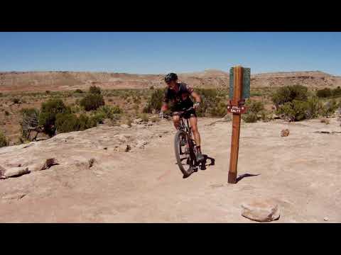
Starting southbound from the Dino Tracks trailhead.
The north end of the trail has a trailhead at the Dino Tracks parking. (Be aware: There's not
a lot of room to park here on weekends.) The north end is 150 feet higher
in elevation than
the south end. Gentle up-and-down riding will bring the total climbing
to 350 vertical feet
for the one-way south-to-north trip.
The trail is over 90% dirt. (By contrast, the
EKG Trail
is over 95% slickrock.) As a "flow trail" it's designed for rapid cruiser-type riding rather
than technical challenges. If you're looking for fun rock to play on,
this trail can get you
to (or from) that rock. But the trail itself is pretty tame.
The trail will cross (from south to north) Baby Steps loop south, Little Salty , and Baby Steps North, Mega Steps , pass Nome and Homer, then end at the dinosaur trackway parking.

The dirt is hard-packed and fast.

Occasionally the trail hits open rock. The route is marked with purple paint stripes. These are the only bumpy spots, and there's nothing tricky
Experienced beginners, family groups, and early-intermediates can ride Dino Flow out-and-back.
Do all of it, or just a part. A complete out-and-back is 11 miles. Like
the popular
Brand Trail system
, the
Klondike Bluffs area
is being expanded to provide riding opportunities for riders of varying ability..
Why would expert riders be interested in Dino Flow? Several reasons:
- Skip Copper Ridge Road for direct singletrack access to the south end of Baby Steps and EKG .
- Quick delivery to the north end of EKG by singletrack, when there isn't time or muscle to do it both ways and you don't want to ride the road.
- Nice alternative to the Copper Ridge DT for returning from the Baby Steps, Alaska , or Mega Steps loops.
- It's a fun ride!

The trail intersects the up-down trails. These intersections are plainly marked with signs and "you are here" maps. Different paint colors designate the trails, also helping to avoid confusion.

Typical sandstone area, looking back to the south.
Sandstone areas have pink paint to mark the trail. Intersecting trails feature different paint
colors to help you pick the right trail. When the trail does encounter
open rock, it's usually
smooth enough for less-experienced riders to pedal seated. The trail gets
rougher as it approaches
junctions with the uphill-downhill routes.
There is one "what were they thinking" S-turn switchback that only expert riders will clean.
Just hike uphill 30 feet and get back on the pedals. I guess even a "flow
trail" needs an occasional
challenge.

Riding is fast, with few technical challenges..

Not too tough. Just keep pedaling.
The trail has matured nicely, and is now popular with all levels of rider. Expect groups of
newbs as well as flying hammerheads as you ride this trail.
Here's my recommendation for a quick mountain bike ride -- about 90 to 120 minutes for a strong
rider. This is suitable for a second ride of the day, or a warmup before
the big event. Take
Dino Flow northbound. When Dino hits
Mega Steps
, jog uphill for 1/4 mile. Now catch
EKG
southbound and play on the technical sandstone.

The terrain rolls through pinion pine and juniper.

On the loop ride described below, we're climbing a short distance up Mega Steps to reach the EKG trail. Mega Steps is marked with light green paint.
When you're finished with biking EKG, drop back downhill on Baby Steps until you hit Dino Flow.
Head back to parking for a 12-mile ride with 1500 vertical feet of climbing
-- most of it up-and-down
on the EKG trail. This ride is described in the riding notes section below.
Bottom Line!
Not an exciting trail, but good cruising. Most riders will use a piece of it, but only to get to another trail without touching (gasp) dirt road. Potentially good riding for specific groups of less-experienced bikers.
Here's a thought: Split your group by ability. The newbies head up Dino Flow while the experts take EKG. Last group to the dino tracks kiosk at the north end pays for dinner.

Trail view on EKG, heading southbound. EKG is marked with orange paint. The La Sal Mountains are in the background.

Tracks of a big 4-legged dinosaur of the late Jurassic such as apatosaurus or camarosaurus.
At the far north end of Dino Flow, there's a parking lot for visitors to the dinosaur trackway.
Perhaps more important to you, there's a toilet. (It's an outdoor pit
toilet, but unless you're
afraid of crows, a toilet is a toilet.)
Leave your bike at the kiosk. Find the foot trail that heads steeply uphill. It's found on
a straight line from the road just before it turned into the parking area.
Hike about 1/10
mile. (The Dinosaur Trackway trail is closed to bikes.)

Just uphill from the sauropod tracks are these three-toed chicken-like tracks, thought to be the predatory allosaurus. (Sorry, T-Rex fans. Allosaurs were top of the food chain in this era. The T-Rex won't be around for many million years.)
Riding notes, clockwise loop with EKG
trail:
0.0 Cross cattleguard heading east
N38 46.418 W109 42.735
0.8 DT splits, take ST in middle (Dino Flow)
N38 46.998 W109 43.072
1.0 Keep L (R = EKG trail add-on 2012)
N38 47.118 W109 42.983
1.4 L and join EKG to cross wash
then keep L as EKG forks away
N38 47.369 W109 43.253
1.9 Cross Baby Steps South (DT)
N38 47.590 W109 43.556
3.1 Cross Salt Wash
N38 48.248 W109 44.147
4.4 Cross Baby Steps North
N38 48.898 W109 44.718
5.3 R uphill on Mega Steps
N38 49.355 W109 45.167
5.5 R on EKG
N38 49.419 W109 45.037
6.5 Join Baby Steps for 100 feet
N38 48.974 W109 44.611
Split L to stay on EKG
N38 48.951 W109 44.619
7.8 Cross Salt Wash
N38 48.598 W109 43.913
9.5 R downhill on Baby Steps
(Option 2012: straight on EKG)
N38 47.742 W109 43.284
9.8 L on Dino Flow
N38 47.590 W109 43.556
10.9 Straight onto DT
N38 46.998 W109 43.072
11.7 Parking

Map of Klondike Bluffs
Getting there, southern Klondike Trailhead:
Starting at the Colorado River, drive 15 miles north from Moab. Look for a turnout with parking on the right and a sign for Klondike Bluffs Road. There will usually be cars parked there (GPS N 38° 44.452' W 109° 44.037'). For a longer ride, park here and ride up the road. Most cyclists will choose to go through the gate and drive 2.7 miles. Keep left at the fork. At 2.8 miles, park your car in the broad parking area by the fence. Go eastbound across the cattleguard through the fence and begin your ride.
Note: Map is color-coded to show named trails individually. Does not correspond to described loop above.
Northern Klondike Trailheads:
On Highway 191 8.5 miles
south of I-70 and 6.5 miles north of the southern Klondike Bluffs road
(about 5 miles north of the airport), watch for a "Northern
Klondike" sign at N38 49.504 W109 46.893. Turn east (toward the
sandstone bluff). Keep to the right as the road winds south around a small
hill.
Chilkoot TH: 1.2 miles from the highway as the road is heading east toward the bluff, the Chilkoot trailhead is on your right.
Agate TH: Go a bit past the fenced parking area then fork right on a fainter jeep road at N38 49.103 W109 46.061. (The main road continues to the dinosaur tracks, with an alternate trailhead here for the Dino Flow trail.) At mile 1.6 from the highway, you'll come to the TH for the Jasper and Agate loops (N38 49.087 W109 45.625) on your right.
Mega Steps TH: Continuing past the Agate TH, at 2.0 miles you're at the bottom of Mega Steps at a larger parking area N38 49.179 W109 45.417.
Dinosaur Tracks TH: At the trail fork at mile 1.2, keep left on the main road toward the dinosaur tracks. About 1/2 mile further, turn to the right into the parking area. The Dino Flow trail goes south to the left of the pit toilet, where the rock slope meets the dirt.
Riding resources for this trail:
Single-page riding guide
GPS track files (right-click and "Save as..."):
GPX Klondike area trails
Dino Flow only
Loop w EKG return
High-res topo for printing (500 KB): View Klondike area
Lodging, camping, shops: Links to Moab area resources
Single-page riding guide
GPS track files (right-click and "Save as..."):
GPX Klondike area trails
Dino Flow only
Loop w EKG return
High-res topo for printing (500 KB): View Klondike area
Lodging, camping, shops: Links to Moab area resources
Latest update 2017