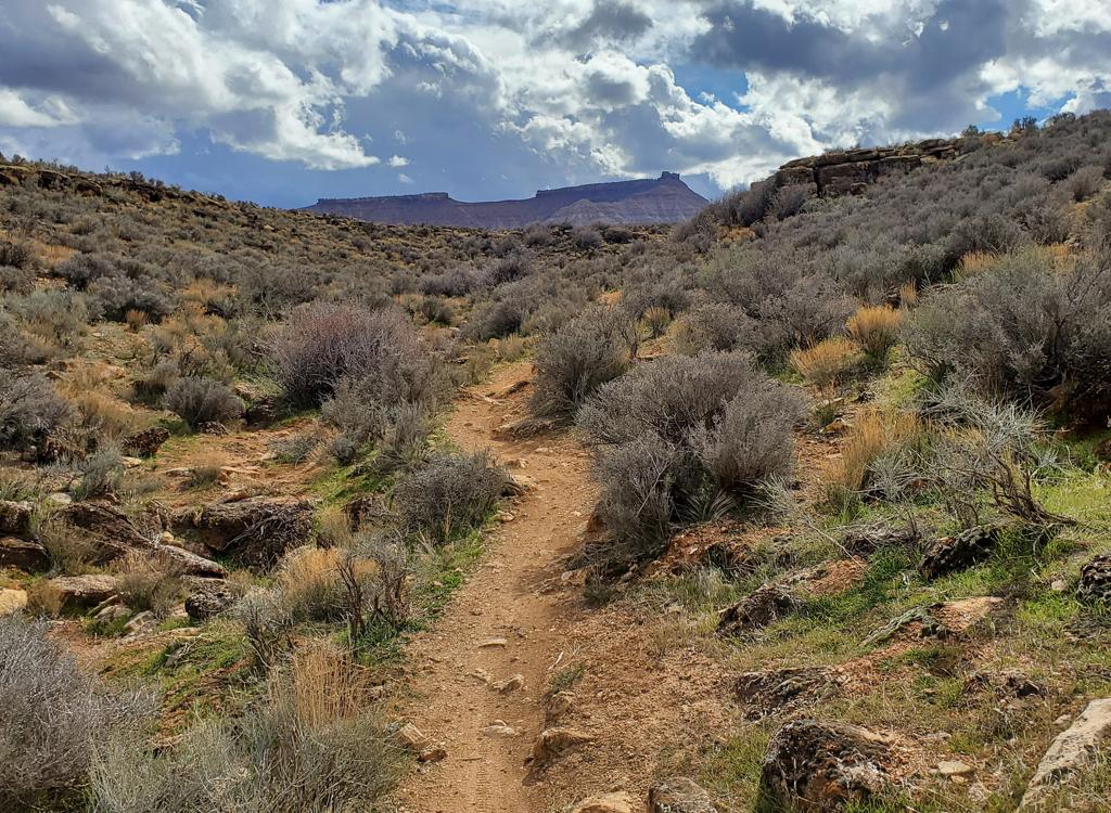
Handlebar view in Cove Wash. Photos April 14, 2009 by Bruce.
Cove Wash Area
Cottonwood Wash Viewpoint, connections to Stucki Spring
OK, let's put the bottom line first: this isn't going to be your favorite ride. If you're looking
for a few of St. George's best trails, skip this one. But if you've done
all the local trails
a few times and are ready to try something new, then yes, Cove Wash is
worth riding. If you
don't mind sharing with motoheads.
The route
I describe here is 10 miles, but you can add a lot of miles by riding
directly from St.George (see below), or by doing a loop with the ATV
trails in (and on the ridgeline between) the two forks of the wash. It
starts at the popular
Barrel Roll
trailhead.
Nearby trails include
Blackbrush,
Rim
Rock, and
Sidewinder.The trail is entirely dirt road or ATV doubletrack. For the
classic ride, you'll spend 3 miles in the wash bottom, then climb up to
a
viewpoint for 8 miles out-and-back. The grade is steady, and there's
nothing technical here. Total climbing is only 600 vertical feet. It makes
a good training ride.
The route
I describe here is 10 miles, but you can add a lot of miles by riding
directly from St.George (see below), or by doing a loop with the ATV
trails in (and on the ridgeline between) the two forks of the wash. It
starts at the popular
Barrel Roll
trailhead.
Nearby trails include
Blackbrush
,
Rim
Rock
, and
Sidewinder
.
The trail is entirely dirt road or ATV doubletrack. For the
classic ride, you'll spend 3 miles in the wash bottom, then climb up to
a
viewpoint for 8 miles out-and-back. The grade is steady, and there's
nothing technical here. Total climbing is only 600 vertical feet. It makes
a good training ride.
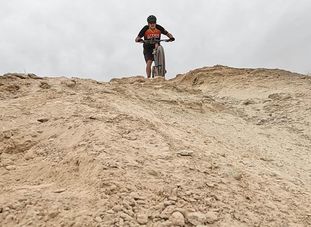
The washbottom is an ATV route. I found the riding surface smooth with only a little softness.
No deep boggy sand. I passed only one single soft area in the wash.

Jackie waits for the explorer to snap a photo among tamarisk in the first portion of the wash. Jackie did 20 miles on this exploration ride.

Another handlebar view of the mudstone of the wash in the lower Chinle or uppper Moenkopi formation. The gradual slope is due to an erosion-resistant layer of limestone underlying the red stuff.
For those with an appetite for miles, may I suggest climbing further up the south fork of the
wash. If you choose to ride up the wash beyond the turnoff to the viewpoint,
it will narrow
and become more a little more technical. This is a very nice add-on to
the ride: to the spot
where the track exits the wash, up-and-down it adds two fun miles. Or,
you can do the stiff
climb as the ATV tread heads out and up to a ridge. From there, you can
do a blazing ridgeline
descent to about 1/2 mile below the fork to the viewpoint. Or, you can
drop in to the north
fork of the wash for your descent.
The route I describe below is a 10-mile loop. It climbs to the viewpoint, then descends by
doubletrack through the White Hills to Stucki Spring. If you connected
to the wash from St.George
by bicycle via the Stucki trail, you're now ready to head back. There
are quite a few branching
doubletracks in the area, but as long as you keep heading generally east
and downhill, you
will arrive back at civilization.

To our right, we pass the mesa where the Rim Rock and Rim Runner singletrack trails offer more awesome miles once we complete our wash ride.

This is the doubletrack heading up toward the viewpoint.
At mile 3.6 from the Cove Wash trailhead, doubletrack heads left uphill as you enter the White
Hills. The main route drops left again through a gully, but you can take
the less-used straight-ahead
for an easier climb. At the top, you have an incredible view over the
banded breaks of Cottonwood
Wash. From here, it's playtime. Go explore.

View east, as the breaks of Cottonwood Wash form brilliant bands of color. It's 1000 vertical feet to the bottom.
For my ride, I headed left (east) from the viewpoint. There are a lot of ATV tracks here, but
they're all heading toward the same place. Just keep generally eastward
and downhill. The route
I followed tracked southeast for about a mile, then northeast for two
miles to arrive at Stucki
Spring.
If you're circling back via Stucki Road, you won't be able to ride up Cove Wash to the trailhead.
There's a huge slab of boulder wedged into the slot canyon. Don't dream
of trying to scramble
over it with your bike. Instead, finish the return by road.

View east as the doubletrack flies along the ridgeline. You can barely make out Black Hill and Green Valley on the right, just above the first escarpment.

View down Cove Wash to the east of Stucki Spring road.
A fun option is lower Cove Wash, heading downhill from the Stucki Spring road. There's a short
rock section, then alternating gravel and rock for some tech challenges.
You can reach St.George
through Box Canyon to Green Valley. (The wash connects to the Green Valley
race loop. This
creates a nice dirt route for extended rides! See the tracks in the GPX
file below.)
Riding notes, Cove Wash Loop:
0.0 Out of parking fence, south on DT
N37 07.244 W113 40.479
0.1 Veer R and drop into wash
0.2 Keep R and uphill
N37 07.212 W113 40.651
1.6 Stay in bottom of wash (ignore DT)
2.6 Fork L as wash splits (option, R for big loop)
N37 06.494 W113 42.253
3.6 Take DT forking L out of wash
N37 06.181 W113 43.007
(option, continue 1.5 miles up wash,
return loop via ridgeline or
washbottom)
3.8 Hard L through wash (option, straight)
N37 06.107 W113 43.162
4.1 At viewpoint
N37 05.919 W113 43.263
For out-and-back, retrace route
For
loop, L on DT
4.7 Fork R (southwest)
N37 05.840 W113 42.703
4.9 Keep straight
N37 05.667 W113 42.566
5.2 Turn L (northeast)
N37 05.522 W113 42.416
5.9 Enter wash, continue downhill
N37 05.761 W113 41.747
7.3 Pass Stucki Spring
N37 05.981 W113 40.626
(keep heading northwest)
8.8 Through Cove Wash
(option, descend wash)
9.0 Fork L on DT
N37 07.119 W113 39.808
9.7 L toward TH
10 Back at parking

Map of the Cove Wash area.
Getting there:
In St. George, head north on Bluff
Street and turn left on Sunset Blvd. Drive 3 miles west on Sunset through
Santa Clara. As you're reaching the end of Santa Clara, look for a road
crossing the river on your left. It's about 200 feet before the Jacob
Hamblin Home (which will be on your right if you pass the turn). Turn and
cross the river and follow the road as it turns right. About 0.4 miles
from Hwy 191, turn left onto the dirt Stucki Springs road. At mile 0.7,
turn right at the sign Preserve" or "Cove Wash Trailhead." Pass the water
tank, and at mile 1.3, turn right again through the fence. This road will
veer left, then arrive at a log fenced parking area at mile 1.5, N37 07.253 W113 40.508.
Dirt route from Green Valley, 5 miles (plus city streets) each way:
Up DH
section of GV racecourse (1.8 miles). Step across the fence and go down
into the dip facing northwest. Drop down
very-steep DT into the next valley, proceed west then northwest and
go through the fence to Stucki Springs (1.3 miles). R on Stucki Springs Rd,
go another 1.8 miles then left at fork (don't descend into big wash). Pass DT going up to fence on your L about 0.1
mile later, then keep R at the next fork 100 yards later, then L at next
fork. Drop into wash and start head uphill in the wash.
Track files for connecting to this area by bike from Green Valley (5 track
options, including lower Cove Wash):
GPX