
Circle O Trail
The Circle O trail is an excellent addition to Moab's selection of rides, new in 2007. The trail is 100% slickrock, on top of Entrada sandstone. The Circle O trail itself is only about 3.5 miles long with only 200 feet absolute elevation change. But to get there, you need to ride part of the Bar M trail, so the shortest total ride that includes the Circle O will be about 10 miles. This trail is one of the "Moab Brand Trails".
You can get to the Circle O by riding the Bar M in either direction. I prefer to ride clockwise, starting north on old 191, then circling south toward the Circle O. In this direction, you'll pass the "finish" point of the Circle O about 3 miles from the start, but you'll continue on the Bar M to the Circle O's official "start" a mile later.
Advanced riders may ride counterclockwise on Bar M, riding the Bar B Loop, then Circle A to the slickrock portion of Circle O. Completing the remainder of Bar M, this ride is 12.5 miles. The up-and-down sandstone makes this route a bit of work.


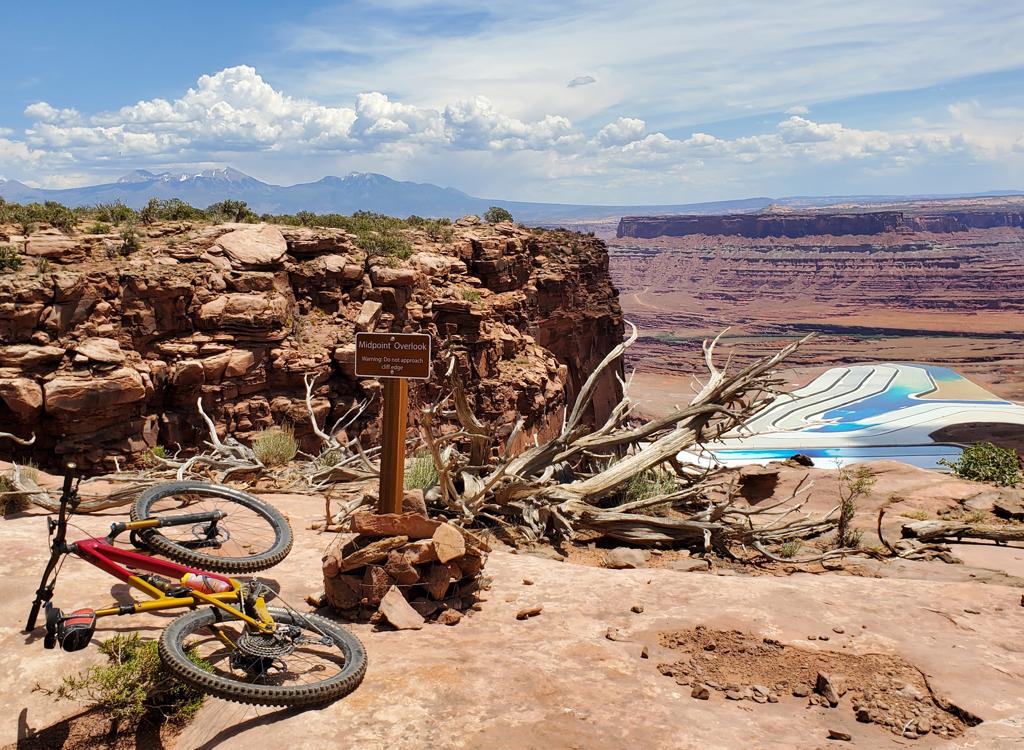
You will NOT be disappointed in the rock riding here. It offers plenty of fun for advanced riders, but is fairly non-threatening for intermediate riders. There are a few spots where you need to throw the front wheel over a wheel-trap -- lift the bike over if you don't know how.
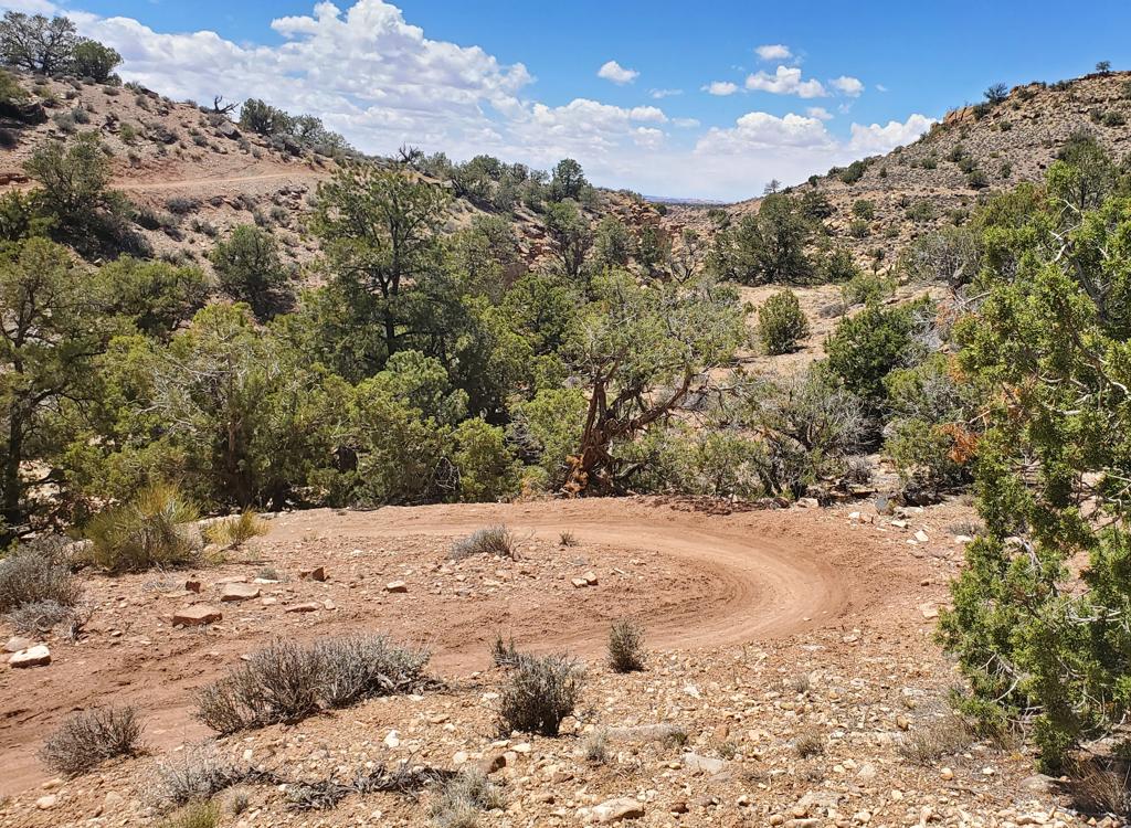
The trail is constant motion. Up and down, circling around. The trail is marked by a narrow strip of concrete stain on the rock. It's not perfect, but it's fairly straightforward navigation.
Circle-O, counterclockwise from northern
Bar-M
0.0 L out of parking, North on old 191
N38 39.223 W109 40.469
1.2 Curve R on DT
N38 40.134 W109 41.020
1.5 Find ST along edge of gorge
N38 40.111 W109 40.814
1.9 R up wash, L on DT
N38 39.954 W109 40.481
2.6 Keep R (L=return from loop)
N38 39.646 W109 39.868


2.9 Straight (L) on Bar M
N38 39.488 W109 39.716
3.9 Fork L on DT (leave Bar M)
N38 39.129 W109 39.121
4.1 DT ends, start ST
N38 39.166 W109 38.907
7.0 R on DT
N38 39.712 W109 39.689
7.2 Back at Bar M
N38 39.646 W109 39.868
Fork R for lariat loop
(Fork L to complete Bar M loop)
10 Parking
Getting there:
From the north: Drive south on US-191 for 22 miles south of I-70. From Moab, drive 7 miles north from the Colorado River on 191. When you see the Gemini Bridges parking area, look for a gravel road on the opposite side (east, away from the cliffs). Turn onto the gravel road and immediately go right. Drive past the first restaurant parking area. GPS N 38° 39.38' W 109° 40.66'. Continue south to the new parking spot in the valley. The trail starts by returning to the gravel road and riding either north or south. Our ride description assumes you'll ride north (clockwise).

Riding resources for this trail:
Single-page riding guide
GPS track files (right-click and "Save as..."):
Track Bar M parking to
Circle O loop
GPX file all Moab Brand area
trails
High-res topo (400 KB):
View
Topo including Brand Trails:
View
Lodging, camping, shops:
Links to Moab area resources
Most recent update 2019