View down Butterfield Canyon, looking towards the Wasatch Front. Photos June 16, 2002 by Bruce.
Butterfield Canyon (Copper Mine Overlook)
Road and gravel ride
Let's get to the bad news first: Butterfield Canyon is a road ride, half dirt and half pavement. If it's beneath your dignity to ride anything but singletrack, read no further. If you're looking for a scenic ride that gives a great workout, this is your trail. Most mountain riders will do the Butterfield Park area trails at the mouth of the canyon, but the climb uphill on the road is a popular workout.
What Butterfield Canyon offers is a steady climb from the valley floor (5500 ft) to a peak
in the Oquirrh Mountains at 9200 feet elevation, overlooking the Bingham
Canyon copper mine.
The paved road rises only 1000 feet in the first 4 miles. Once you hit
the dirt at mile 4.7,
the climb is over 500 vertical feet per mile. That's 3700 feet of elevation
change. Round trip,
you're looking at 20 miles, but you can shorten the ride by driving up
the road and finding
a spot to park.
On the pavement, you'll rise above the typical dry oak and brush into douglas fir, maple, and
aspen. The dirt road is mostly sun-exposed, but there are a few forested
stretches. There are
almost constant views over the canyon and back down towards Salt Lake.
And once you reach Butterfield
Pass, you can see into the Tooele Valley as well.

View up the road, as we ride through aspen and fir.

View across the canyon on the ascent, showing scrub oak, maples, aspen, and fir.
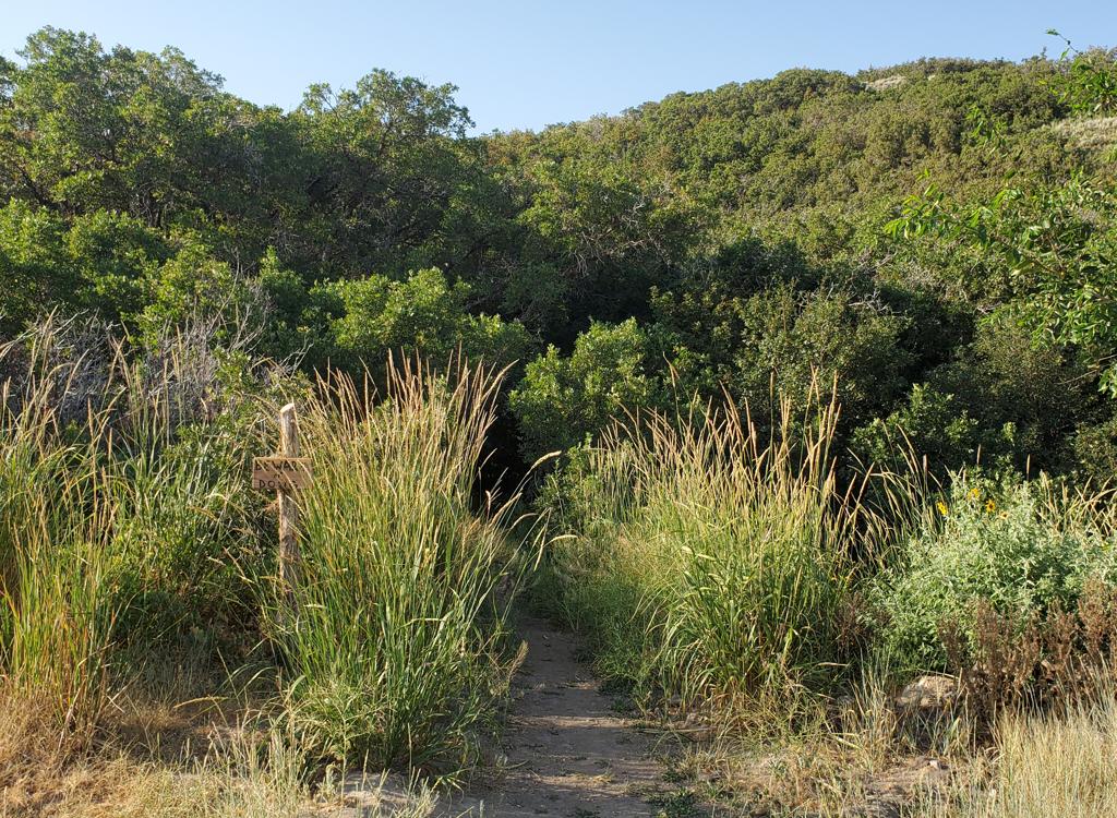
To shorten the ride, you can park at a fork in the road at mile 4.1, GPS N 40° 29.161' W 112°
09.058'. As an alternative to the main road, you can head up the dirt
road in the bottom of
the canyon. After a couple of miles, it turns into an ATC track that leads
up to a short singletrack
to Butterfield Pass. There are a few forks - just keep heading straight
up the main canyon.
The view over the Bingham Canyon mine is impressive. Of course, you can drive your car up there.
But you're a biker. And frankly, you've been putting on a little weight
lately, so you could
use a good hill-climbing grind-it-out bike ride like this one.
At Butterfield Pass, there are ATV tracks heading southeast and southwest through the trees. Go ahead and explore.
At Butterfield Pass, there are ATV tracks heading southeast and southwest through the trees. Go ahead and explore.

View of the world's biggest hole.

Here's the basic route.
Getting there:
From I-15, take the Bangerter Highway and head west. After the highway curves north, turn left on 126th south (traffic light and big pedestrian overpass) at mile 6.0. 126th becomes 131st. At the fire station and church in Herriman, set your odometer. At mile 1.7 keep right as the road curves north at a fork. At mile 3.0, turn left at a sign saying "Wild Horse Center." (At this point, the road turns north - right.) Keep right at the road fork at mile 3.1, and find a place to park on the left side of the road just past the fork. GPS N 40° 30.803' W 112° 05.794'
Alternate trailheads:
1. Gravel road on the left 4.1 miles from the trailhead.
2. Butterfield Pass, about 7 miles from the trailhead.
Riding Resources:
Single-page, printable trail guide
GPS track file (right-click and select "Save Target as..."): GPX (to Butterfield Pass only)
Topo map for printing: Lower Res Higher Resolution
Lodging, camping, shops: Links to southern SLC resources
Single-page, printable trail guide
GPS track file (right-click and select "Save Target as..."): GPX (to Butterfield Pass only)
Topo map for printing: Lower Res Higher Resolution
Lodging, camping, shops: Links to southern SLC resources