We're at the lowest elevation of the ride, in the loop over the Santa Clara River gorge. It's January 10 and it's 50 degrees. Perfect weather for a hike with the dog. Gotta love St. George! Ride description and photos January 2008.
Black Brush Trail
(Santa Clara River Preserve)
(Santa Clara River Preserve)
This trail starts at the Barrel Roll trailhead. It's marked for horses and foot traffic (NOT for bikes). My suggestion is, have a nice 80-minute hike (or 30-minute run) and enjoy some nice views into the Santa Clara gorge.
The Black Brush trail is 4.2 miles in length, with a lariat configuration. Black Brush has
more of a horseman's "let's just get there" approach to its climbing.
The pitch is good for
hiking. Most of the trail is fine for running, but watch out for loose
boulders in a few horse-churned
spots on the loop. This is a good trail for running along with the pooch
for company.

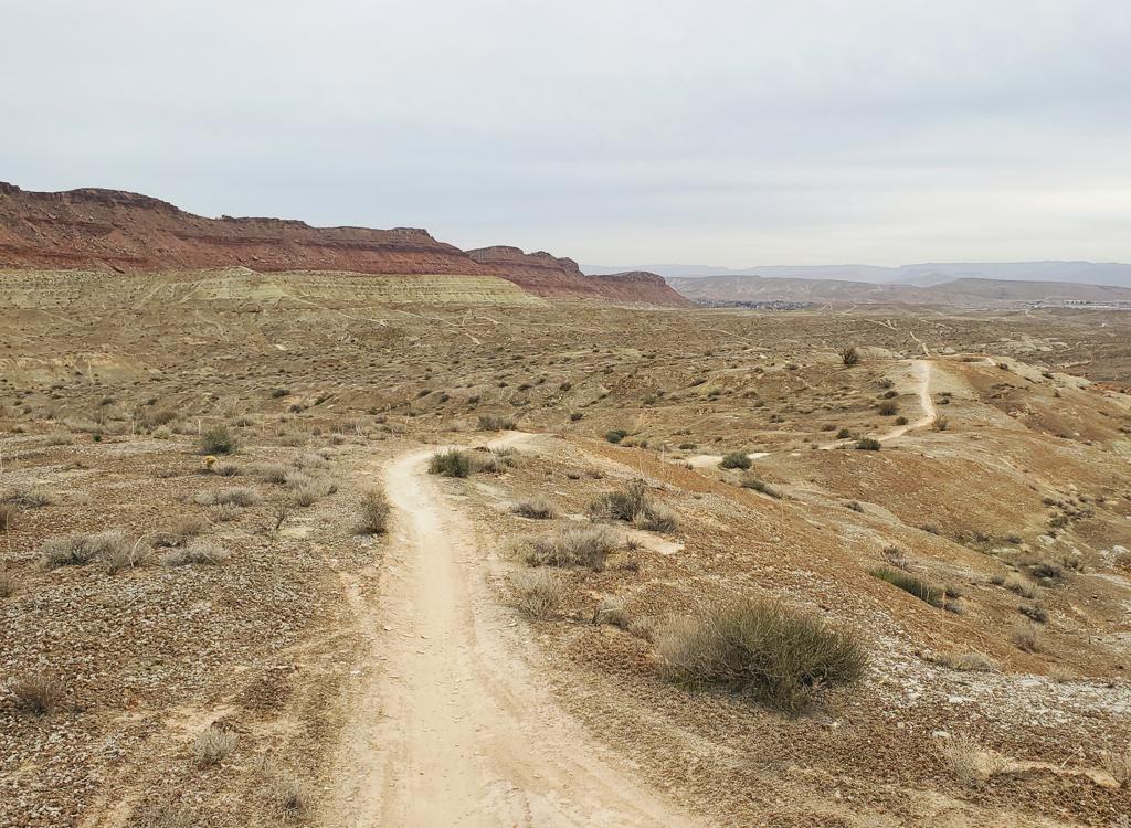
Typical trail section, with grainy dirt alternating with small rock steps. At age 10 in this 2008 photo, Jackie 's old enough for doggie social security, but running on trails is still her favorite thing. In 4 days, we'll explore over 60 miles of trail in southern Utah.
The trail starts at 3100 feet altitude and rolls up and down for the first mile. When you reach
the loop 1 mile from the start, you'll swear you've climbed a lot, but
you'll actually be about
150 feet lower than you started. There will be 900 total feet of climbing
for the entire trip.
When you hit the loop, I suggest you go left. Clockwise seems to work best, because it breaks
the uphill hiking into two sections, separated by over a mile of downhill
and flat trail.

Did I mention that the trail is not signed for bicycles? Snow caps the Pine Valley Mountains in the background, with the red and white sandstone of Snow Canyon in the foreground.

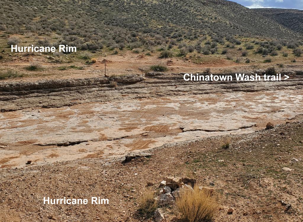
Down in the gorge, I think that's Thelma and Louise's car. On top of the cliff, the Anasazi trail lies north of the river within the Preserve.
At mile 2.7, the ride reaches its lowest point at 2900 feet
as you flirt with the cliffs over the gorge. Now it's time to close the
loop. The climbing gets steeper as you approach the junction. Often the
surface is loose with horse-churn here, so watch your ankles.
Clockwise lariat loop:
0.0 Start up Black Brush trail
1.0 At fence, fork L uphill
1.9 Crest of hill
Start switchback descent
2.7 Views over Santa Clara river
3.2 Back at loop
4.2 Parking

Getting there:
In St. George, head north on Bluff Street and turn left on Sunset Blvd. Drive 3 miles west on Sunset through Santa Clara. As you're reaching the end of Santa Clara, look for a road crossing the river on your left. It's about 200 feet before the Jacob Hamblin Home (which will be on your right if you pass the turn). Turn and cross the river and follow the road as it turns right. About 0.4 miles from Hwy 191, just after the road turns right, turn left uphill onto the dirt Stucki Springs road. At mile 0.7, turn right at the sign "Santa Clara Preserve" or "Cove Wash Trailhead." Pass the water tank, and at mile 1.3, turn right again through the fence. This road will veer left to at a log-fence parking area at mile 1.5, N37 07.253 W113 40.508. There's a singletrack trail you can ride from the valley to the trailhead. After crossing the river and following the road as it turns right, pass the dirt Stucki Springs road. About 100 feet past the road, a doubletrack heads obliquely westward uphill on the left, turning quickly into singletrack heading up along the wash. at about 1/3 mile, keep R at the fork (L rejoins the road). The trail will climb up and west of the water tank, then join the road right at the fence of the preserve.
In St. George, head north on Bluff Street and turn left on Sunset Blvd. Drive 3 miles west on Sunset through Santa Clara. As you're reaching the end of Santa Clara, look for a road crossing the river on your left. It's about 200 feet before the Jacob Hamblin Home (which will be on your right if you pass the turn). Turn and cross the river and follow the road as it turns right. About 0.4 miles from Hwy 191, just after the road turns right, turn left uphill onto the dirt Stucki Springs road. At mile 0.7, turn right at the sign "Santa Clara Preserve" or "Cove Wash Trailhead." Pass the water tank, and at mile 1.3, turn right again through the fence. This road will veer left to at a log-fence parking area at mile 1.5, N37 07.253 W113 40.508. There's a singletrack trail you can ride from the valley to the trailhead. After crossing the river and following the road as it turns right, pass the dirt Stucki Springs road. About 100 feet past the road, a doubletrack heads obliquely westward uphill on the left, turning quickly into singletrack heading up along the wash. at about 1/3 mile, keep R at the fork (L rejoins the road). The trail will climb up and west of the water tank, then join the road right at the fence of the preserve.
Resources for this trail:
Single-page guide to Barrel Roll
GPS track files (right-click and "Save as..."):
GPX
High-res topo (300 KB): View
Lodging, camping, shops: Links to St. George area resources
Single-page guide to Barrel Roll
GPS track files (right-click and "Save as..."):
GPX
High-res topo (300 KB): View
Lodging, camping, shops: Links to St. George area resources