Looking down the trail at unusual rock formations, early in the ride. Photos Apr...
Looking down the trail at unusual rock formations, early in the ride. Photos April 28, 2003 by Bruce
Behind the Rocks
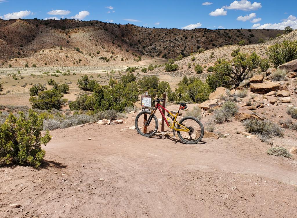
The Behind the Rocks trail is a tough, advanced-technical ride located just south of Moab. Used mainly as a trials-motorcycle trail, Behind the Rocks has stiff climbs, technical descents and ledges, and life-sucking sand. Only riders who are bored with the "easy stuff" should consider this trail.
The Behind the Rocks trail is the site of the Moab's October 24-hour race. (Imagine riding the technical sections of this trail in the dark!) For this race, riders do a shorter loop version.
We offer you directions to the standard point-to-point one-way ride, plus five different loop options. Most riders go 19 miles one-way, losing 1400 vertical feet of altitude. You'll need a shuttle car for this, and while the shuttle commute is a bit long (about 18 miles), it's on pavement.
Throttle-twisters push through one of Behind the Rocks many technical sections. ...
Throttle-twisters push through one of Behind the Rock's many technical sections. No bikes the day I rode.
The view back towards the La Sal Mountains, before the trail heads down into the...
The view back towards the La Sal Mountains, before the trail heads down into the sandstone canyons.
Most riders who aren't using a shuttle should opt for "Loop 1 -- A Bit of Behind." This 11.3 mile loop is reasonable, and covers the best of the tech sections. (About 3 miles of this loop are advanced technical.) There's a fair amount of sand, but it's almost all rideable.
Loop 2 offers more miles, but the extra distance doesn't offer anything particularly exciting. Loop 2.5 has some more technical stuff, including some nice open slickrock playgrounds just before you branch off the main route. Loop 3 has more tech riding, with some really spooky but short drops on rock, and involves a bit more climbing coming back. But it avoids the deep sand in Hunter's Canyon, and avoids 500 vertical feet of climbing.
Prostitute Butte. If youre riding the short loop (Loop 1), youll be heading back...
Prostitute Butte. If you're riding the short loop (Loop 1), you'll be heading back now on tame dirt road.
About 9 miles into the ride, were heading towards the technical descent into Hun...
About 9 miles into the ride, we're heading towards the technical descent into Hunter's Canyon. We'll be dropping off the Navajo sandstone onto Kayenta.
Don't even think of doing the 28-mile Lunatic Loop unless you're in great shape and well-prepared. It's hard to pack enough water on the bike to complete this loop. A mile of sand in Hunter's Canyon will suck the strength out of you. Then you have to climb 1300 vertical feet back out, over 15 miles.
The point-to-point route is a bit hard to navigate. There are only a couple of trail markers on the whole ride. Forks are unmarked, and the correct route is often the less-traveled path. Don't dream of riding this trail for the first time without an odometer, a by-the-mile trail description, and a map! I also recommend a GPS.
The Beast at the crossroads where Behind the Rocks joins the Pritchett Arch trai...
"The Beast" at the crossroads where Behind the Rocks joins the Pritchett Arch trail. From here, it's either onward to White Knuckle Hill and down to the Colorado, or a mean climb back up Pritchett to complete a loop.
View back into the valley where Behind the Rocks joins Pritchett. Were going to ...
View back into the valley where Behind the Rocks joins Pritchett. We're going to climb 1300 vertical coming back out on the loop version.
This trail is mean and tough. There's deep sand to fight through, technical climbs and descents, often dusted with slippery dirt from the motocross guys. Behind the Rocks separates the real bikers from those who just hang at the Slickrock parking lot to meet chicks. Yeah, the Lunatic Loop -- you know you wanna do it.
Point-to-Point Ride -- Requires Shuttle
(Critical forks, loop connectors marked in boldface)
0.0   North on dirt road 
        N 38° 25.300' W 109° 25.930', Alt=5500'
0.25 Veer L (R=camping)
0.4   Fork R, N 38° 25.521' W 109° 26.014'
1.2, 1.3 Keep straight
1.6   L at fork, N 38° 26.415' W 109° 26.578'
2.1   Steep sand downhill, Alt=5850'
4.0   Keep straight
5.1   Fork hard R onto smaller DT (L = Loop 1)
        N 38° 26.440' W 109° 29.380'
6.0   Keep L as trail comes in on R
6.3   Cross DT, keep straight
        N 38° 27.146' W 109° 29.739'
7.6   R on Pritchett, 100 ft, R again (L = Loop 2)
        N 38° 26.722' W 109° 29.949'
8.0   Keep straight (L)
8.3   R goes over slickrock, L main route
        N 38° 27.177' W 109° 31.258'
8.6   Fork R (L = Loop 2.5)
        N 38° 27.28' W 109° 31.63'
9.5   Keep straight, cross DT
        N 38° 27.640' W 109° 32.202'
9.6   Keep straight
10.0 At bottom of steep hill, fork R (L = Loop 3)
        N 38° 27.658' W 109° 32.476'
11.5 Drop into Hunter Canyon
        Deep sand in bottom!
13.4 Fork R to Pritchett Trail (L = Lunatic Loop)
        END of BTR Trail
        N 38° 29.640' W 109° 33.773', Alt=4500'
13.5 Straight (R)
14.0 Spur to view of Pritchett Arch, keep straight
15.2 White Knuckle Hill
        N 38° 30.70' W 109° 33.00'
15.5 Keep R (L = Pritchett Arch)
        N 38° 30.78' W 109°33.37'
15.8 Keep L
17.0 Keep L
        N 38° 31.4' W 109° 34.0'
19.5 Parking at Kane Creek Blvd. Alt=4100'
Loop 1 -- A bit of Behind -- 11.3 miles
Follow Point-to-Point to Mile 5.1
5.1   Keep straight 
6.0   L onto Pritchett trail
        N 38° 25.70' W 109° 29.00'
        Stay on main road back

Loop 2 -- A bit more -- 14.3 miles
Follow Point-to-Point to Mile 7.6
Fork L on Pritchett Trail
Follow US-191 signs on main road back

Loop 2.5 -- More still -- 20.9 miles
Follow Point-to-Point to Mile 8.6
Fork L, head W to Pritchett Trail
L at N 38° 26.37' W 109° 31.86'
Follow US-191 signs back

Loop 3 -- Almost Crazy -- 25.6 miles
(Avoids 500 ft climbing, ugly sand)
Follow Point-to-Point to Mile 10.0
Fork L, then keep R at next fork
L on Pritchett Trail at N 38° 28.20' W 109° 33.67'
Follow US-191 signs back
25.6 mile loop

Lunatic Loop -- Brutal 28.2 miles
Follow Point-to-Point to Mile 13.4
(BTR Trail ends on Pritchett Trail)
13.4  Fork L onto Pritchett Road
15.8  Keep straight (Loop 3 in from L)
         N 38° 28.201' W 109° 33.666'
17.7  Keep straight (L)
20.4  Straight (Loop 2.5 in from L)
21.5  Back at 4-way (mile 7.6 on way out)
         N 38° 27.177' W 109° 31.258'
22.5  Keep straight
23.0  Pass Prostitute Butte, keep straight
24.2  Straight (Loop 1 in from L)
27.7  Pass BTR trail fork, keep straight
28.2  Back at parking

map
You can always identify the rides I did 25 years ago and haven't done since... by the maps.
Getting there: To leave a shuttle car, drive south on Moab's main drag (US-191) to the McDonald's, and turn right onto Kane Creek Blvd. After 1.5 miles, go straight at the "Yield" sign where the road seems to turn right. Continue along the Colorado River until the road turns to gravel. There's a parking area on the right. The trail's end is about 100 feet back, on the south side of the street where it exits private property.  (The property owner has installed a fee box. Take $1 per biker with you to pay the toll as you exit.)

Now drive your second vehicle to the trailhead. Head back to Highway 191 and turn right (south). Drive 12.5 miles, and watch for a small road on your right. You should see a sign that (among other destinations) says Pritchett Arch. GPS is N 38° 25.30' W 109° 25.95'. Park near the cattle guard and begin riding.

Riding resources for this trail:
Single-page printable riding guide.
GPS track files (right-click and "Save as..."):
     GPX (may differ from route above)
Topo maps for printing:
    Lower Res
    High-Res
Lodging, camping, shops:     Links to Moab area resources
24 Hours of Moab:  Topo    GPX