Bar B Loop of the Moab Brand Trails
Connection to the
Killer B
downhill
The Bar B Loop is part of the Moab Brand Trail system, located a few miles north of Moab. The Bar B loop itself is only 2.5 miles in length, but the shortest ride using this trail will be about 10.5 miles.
Including the climb on the Bar M, there will be 500 vertical feet of climbing. The western half of the Bar B has some short sections of advanced-technical riding.


You get to the Bar B by riding counterclockwise on the Bar M loop. At the far southern end of Bar M, the Bar B begins as a narrow singletrack climbing the bluff. (The Bar B is designed to be ridden counterclockwise.) Singletrack gives way to up-and-down riding as singletrack rolls over rock outcrops.
About a mile along the Bar B, there's a short section of highly technical descent through a rock garden. It's not that hairy if you know the right lines. But the first time through, as you slow and look around searching for where the trail goes, it's an invitation to endo. After this section, it's back to narrow dirt singletrack.
.")

At the southern end of the Bar B loop, the Killer B downhill route branches off to the right. You'll climb over the ridge on doubletrack, then head back on smooth doubletrack that becomes a slickrock path along the edge of the bluff.
Once you arrive back at the Bar B's beginning, you can continue with the Bar M loop, or you can turn right and ride the Rockin A over to the Circle O.


Riding notes, Bar M to Bar B
counterclockwise:
0.0 Exit parking, turn right and ride south
0.7 Pass Gemini underpass, keep straight
1.7 Fork L (leave 191)
2.3 Fork R (L = Bar M shortcut)
2.9 Keep straight (Bar M loops to L)
After 100 feet, fork R on ST
(You'll return to this same
spot)
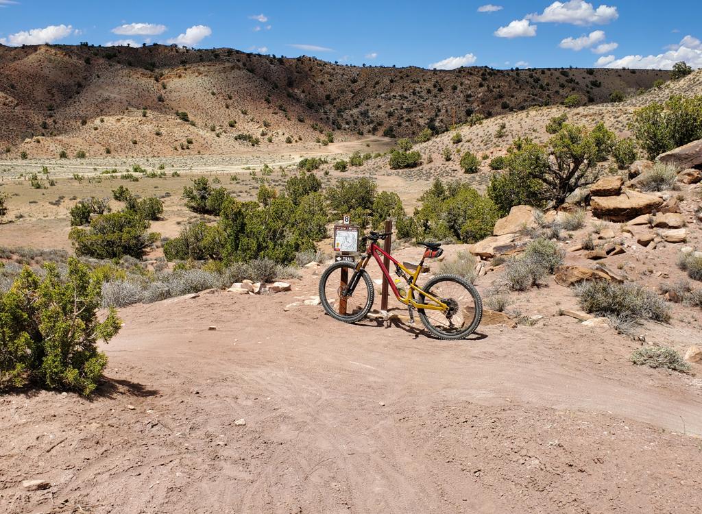
Begin Bar B!
4.0 Technical section
4.3 Fork L uphill on DT
(R = descend Killer B)
4.8 Keep L (R = to walk-through into Arches)
5.4 Back at Bar M, keep straight
(option: fork R into
Rockin A)
10.5 Back at parking
Getting there:
From the I-70 exit, drive south on US-191 for 22 miles. From Moab, drive 7 miles north from the Colorado River on 191. When you see the Gemini Bridges parking area, look for a gravel road on the opposite side (east, away from the cliffs). Turn onto the gravel road and immediately go right, then right again into the parking area. GPS N 38° 39.38' W 109° 40.66'. The trail starts by riding the gravel road either north or south. Our ride description assumes you'll ride south out of the parking lot, counterclockwise on the Bar M.
Riding resources for this trail:
Single-page riding guide
GPS track files (right-click and "Save as..."):
GPX file all Moab Brand area
trails
Bar B track only
Rockin A and Bar B ride
Expert Tour Bar-M-O-A-B-plus
High-res topo for printing:
View
Lodging, camping, shops:
Links to Moab area resources