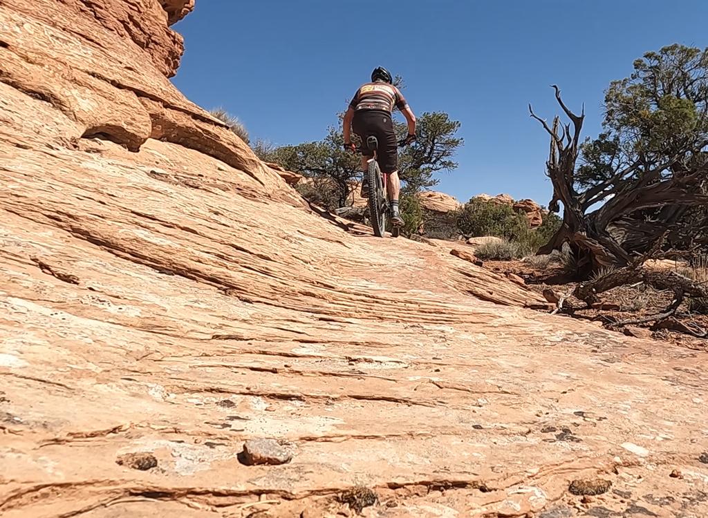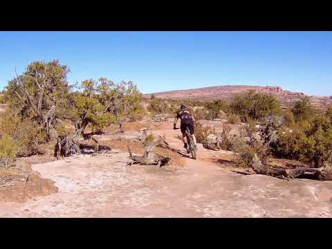

Arth's Trail is a lovely little singletrack trail just below Gemini Bridges north of Moab. The first (classic Arth's Corner) section is 1.5 miles long, connecting the Gemini Bridges road to the Metal Masher road. The second 1.7 miles (new in 2020) continues further downhill to join the Gemini Bridges Road just above the Gold Bar 4x4 fork at Little Canyon. The riding on Arth's is intermediate in tech requirement, but suitable for experienced young riders and advanced beginners.
Arth's has a small trailhead on the Gemini Bridges road 0.15 mile below the lower turn-off to the Gemini Bridges parking area. 100 feet from the trailhead, Arth's connects to the downhill ends of Getaway and Bull Run . Across the road from Arth's trailhead is Great Escape . Lots of riding options here.


Below I describe a 3.4-mile beginner's loop ride of Arth's Corner (the easier upper half) starting from Gemini Bridges parking and returning via the gravel road.


To connect to the top of the Little Canyon trail, turn right on the Metal Masher dirt road. Pedal a short distance back to the Gemini Bridges road. Cross the road to the continuing Little Canyon singletrack.


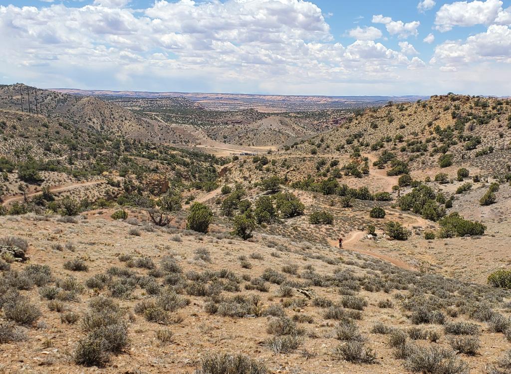
The Little Canyon singletrack heads east then south above the Gemini Bridges Road and the Gold Bar 4x4 road junction. The combination of Arth's, the lower half of Little Canyon, then Great Escape makes a very nice loop ride. This loop is 8 miles with 700 vertical feet of overall climbing.

Take a walk and see the bridges
0.0 East from parking N38 35.233 W109 42.604
0.2 Join main GB road N38 35.253 W109 42.411
0.4 L into Arth's TH area N38 35.247 W109 42.240
(R off road = Great Escape)
N on Arth's Corner ST
R at immediate fork (L = Getaway and Bull Run)
1.9 R on Metal Masher road N38 35.856 W109 41.653
2.0 R on Gemini Bridges N38 35.773 W109 41.625
Mag 7: Straight across road
Enter Little Canyon singletrack
3.2 Back at road fork, L
3.4 Back at bridges parking


Alternate: Two miles south of the 191-313 junction, cross the railroad tracks to the Gemini Bridges road. (Note: the road will be scary, narrow, and steep path as it passes over the skirts of the hill.) Follow the road 7 miles to Gemini Bridges.
Printable one-page ride summary
GPS track file (right-click and select "Save Target as..."):
Arth's Corner Upper ST only
Arth's 2020 full trail
Arth's Beginner Loop
Area trail tracks
GPX Mag 7 as single route
Topo maps for printing:
Low Res Mag 7 High-Res Arth's
Lodging, camping, shops: Link to Moab area resources