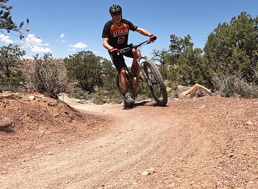
Amasa Back Riding Area
The Amasa Back riding area is located along Kane Creek west of Moab. There's no beginner-level riding here. The climbing is significant and sometimes steep, and the downhills are technical. So this set of trails is best reserved for strong experienced riders.

Amasa Back
Ten mile out-and-back crosses tough ledges both uphill and down. Recommended for strong, skilled, and conditioned riders only. Absolute altitude change 1050 feet (3900 base elevation), 1300 climbing. Must cover at least the first 2.7 miles of this route to reach any other trail in the system.

Pothole Arch
The Pothole Arch trail forks off Amasa back at mile 4.6, just before the last little climb. Rolling ride with great views. Good as an out-and-back two miles each way, or to connect to Rockstacker.

Rockstacker
Rockstacker is a 1.7 mile slickrock ride along the cliffs above the Colorado, on the north side of the peninsula. Rockstacker forks off Pothole Arch at mile 1.1 from Amasa (5.7 miles from the bottom, 6.5 miles into the ride if you've gone out-and-back to the Amasa viewpoint). If you've done all of Amasa, backtracked and done all of Pothole Arch, then backtracked to the trail fork, you'll be at mile 8.3.

Jackson Singletrack
Jackson ST descends on cliffs above the Colorado from the end of Rockstacker down to the Kane Creek road at the mouth of the canyon. There are many tricky spots and some potentially deadly cliff exposures.

Captain Ahab
Captain Ahab is a one-way singletrack that forks off Amasa at the first ridgeline (mile 2.7 after 700 vertical feet of climbing). It climbs another 300 vertical then descends 4 miles over very technical terrain. There's a mid-point connector to bail out, or to make a shorter loop. The train rejoins Amasa just above Kane Creek.

Hymasa
Hymasa is a two-way trail that substitutes for the main Amasa jeep road for the main climb or descent. It's upper-intermediate technical, the easiest trail in the Amasa riding area.