As a downhill, the Grove Creek Trail starts in this meadow. Were looking across ...
As a downhill, the Grove Creek Trail starts in this meadow. We're looking across Utah Lake. Photos July 4, 2006.
Grove Creek Trail

The Grove Creek Trail falls from the upper shoulder of Mount Timpanogos down Grove Creek Canyon to Pleasant Grove. It's usually ridden as a shuttled downhill -- because the climb up this canyon is a bear. See the Big Baldy Loop trail page for a discussion of climbing this trail.

The Grove Creek trail is 4 miles in length, with a bit over 2200 feet of elevation change. That's an average of 550 vertical per mile. As either a downhill or out-and-back, the trail should be considered for advanced riders only. As a shuttled downhill, the trail starts at the end of the Timpooneke Road high on the slopes of Mount Timpanogos. You can short-circuit the first mile by grabbing a connector trail westbound just above Indian Springs.
The official start of the DH trail is found by following the Timpooneke Road until you reach doubletrack forking hard-right in a big meadow. There may (or may not) be a sign indicating that the DT is the Battle Creek Trail, and the singletrack that forks right off it about 300 feet later is the Grove Creek Trail.
For the first mile or so, the trail rolls through aspens and meadows, then drops...
For the first mile or so, the trail rolls through aspens and meadows, then drops down switchbacks in deep pines. Handlebar view of the lush foliage.
At the bottom of the switchbacks, youll cross Grove Creek at this confluence. He...
At the bottom of the switchbacks, you'll cross Grove Creek at this confluence. Here the trail gets more technical.
The trail starts out very narrow, heading north in a meadow. Then it drops down an aspen slope. When you reach a fork labeled Indian Camp, turn left, away from the mountain.

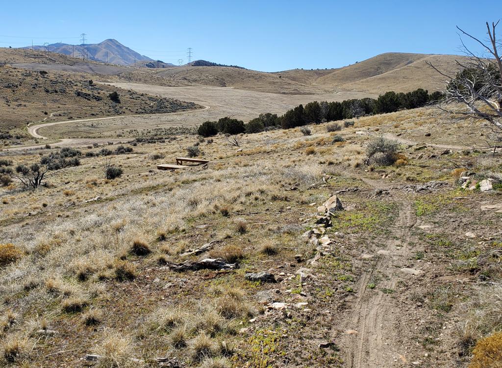
The trail will roll a bit before dropping down switchbacks into the ravine that is the beginning of Grove Creek.

Some sections of the trail are not only difficult, theyre dangerous. For about a...
Some sections of the trail are not only difficult, they're dangerous. For about a mile, there's exposed steep side-slope, with loose rock. Be careful!
Ride the stuff that's within your ability level. Consider hoofing it down a few tricky spots with cliffs alongside.

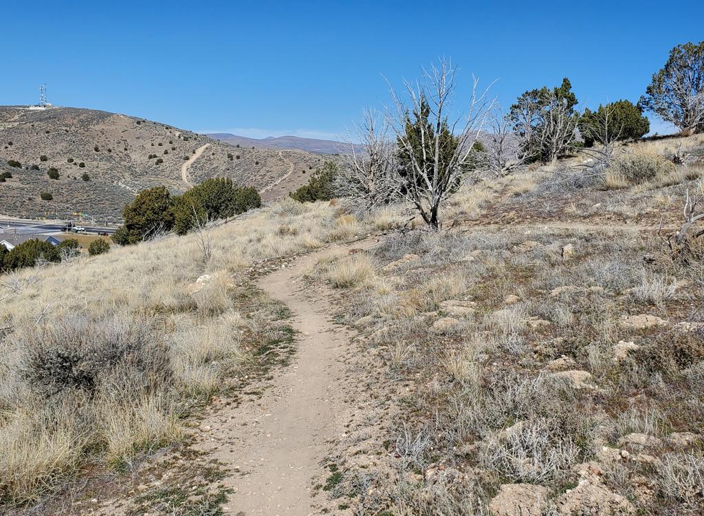
This trail should raise your heart rate a few beats.

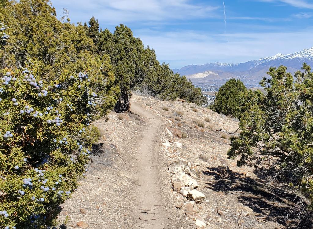
About 3 miles from the top, you'll come to a couple of "cheater" trails branching left steeply downhill to shortcut the upcoming switchback. Just keep straight ahead. You'll reach a real fork, where you should keep straight and downhill. The trail that forks to the right -- Mahogany Mountain -- traverses north along the upper Lake Bonneville notch. Now the Grove Creek trail will switchback and you'll roll down towards the creek.

Once you reach Grove Creek, you'll turn back toward the valley and roll 1/2 mile down to the parking lot and your shuttle vehicle.

For uphill riding instructions, or to use Grove Creek as your uphill to Big Baldy, see the Big Baldy trail page .

Looking southwest as we head downhill, were nearing the valley floor. Thats the ...
Looking southwest as we head downhill, we're nearing the valley floor. That's the southern end of Utah Lake, with West Mountain as the small brown bump just above the lake.
A look back up the canyon.
Riding notes, clockwise loop:
0.0   R onto Battle Creek DT   N 40° 23.226 W 111° 41.069
0.1   R onto narrow ST in meadow
0.7   Indian Camp / Springs, fork L downhill
        N 40° 23.690 W 111° 41.174
1.8   Bridge, cross creek   N 40° 23.414 W 111° 41.734
        Hairy stuff begins...
3.2   Keep straight at fork, then trail turns L
        going up-canyon but downhill N 40° 22.751 W 111° 42.575
3.7   Trail turns R toward valley
4.1   Arrive parking lot  N 40° 22.483 W 111° 42.721

Stowing the shuttle vehicle:  Get off I-15 at the Pleasant Grove exit, and head east toward the mountains. As the street curves north, you'll reach State Street at the light. Turn right. As State begins to curve southward past a big shopping complex, turn left at the traffic light to Main Street. Go through the 4-way stop at Center, then turn left at the light on 100 East (Canyon Highway). Proceed north to 500 North and turn right. 500 North becomes Grove Creek Drive. Follow it up to the paved parking area. (Bathroom at trailhead.) The ride starts on the east (mountain) side of the parking area, heading straight up the canyon. N 40° 22.483 W 111° 42.721

map
Grove Creek map.
Getting to the trailhead:   Backtrack to 100 East in Pleasant Grove. Turn right (north) and follow the Canyon Highway to the mouth of American Fork Canyon. Keep right and head up the canyon. Pay your $6 fee (as of 2009) there. Five miles later at the fork in the road, go along the south fork of the river. About 4 miles up, there's a T in the road. Turn right into the Timpooneke Campground road. Keep going until it turns to gravel, and go another 5 miles. Watch for the Grove Creek Trail sign on your right for the short trailhead; go another 1/2 mile for the full ride.
Riding resources for this trail:
Single-page riding guide
GPS track files (right-click and "Save as..."):
    Grove Creek GPX
Large-format topo map (300 KB): View map
Lodging, camping, shops:
    Links to AF Canyon resources
    Links to Provo area resources