

Kris crests the hill heading west, enjoying the view over Utah Lake. Photo November, 2006.
Dry Canyon 51 Loop (Kris' Loop)
BST, Rattlesnake, Altar, 51, and Dry Canyon
BST, Rattlesnake, Altar, 51, and Dry Canyon
This loop ride was recommended by Kris Nosack, and he was kind enough to provide some of the photos on this page. The overall length of this ride is 7 miles, with 1400 feet of climbing. Nice ride, close to civilization, and available in late- or early season. Although this ride description starts at Orem, you could easily start from the Dry Canyon trailhead. See the Orem to Pleasant Grove BST page for information.
The ride starts at 5100 feet at the Orem Bonneville Shoreline (BST) trailhead. Take the Bench
Road (
the North Provo Canyon
BST
) east. There will be 400 vertical feet of climbing during this first mile, then the road flattens
as it turns left (north). Just after the road turns back to the east,
spot the Rattlesnake
singletrack at mile 1.4 forking uphill on the left.

Northbound toward Little Baldy on the BST. Rattlesnake is just around the next corner.

Climbing Rattlesnake, as tall grass from a damp spring crowds the trail.
Stay right at the trail fork just uphill. The left trail is Gopher Snake, an alternate climbing
route. (The
Rattlesnake
trail
page
has additional information on connecting trails.)
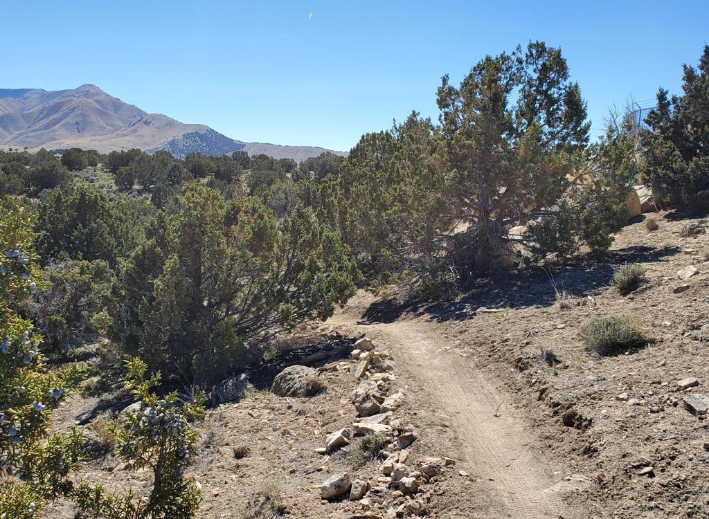
Rattlesnake is a tough and steady climb, but tolerable. At 0.4 miles uphill, Elk Crossing crosses Rattlesnake. An alternative climbing route is to fork right on Elk Crossing and climb to Mouse. Mouse will join the top of Rattlesnake at The Altar.
Rattlesnake is a tough and steady climb, but tolerable. At 0.4 miles uphill, Elk Crossing crosses Rattlesnake. An alternative climbing route is to fork right on Elk Crossing and climb to Mouse. Mouse will join the top of Rattlesnake at The Altar.
Now crank on uphill to mile 1.2 from the bottom of Rattlesnake, to a large stone pile in a
huge meadow. This is The Altar, a meeting spot for several trails.

The Altar as seen from Rattlesnake. And that's a Rocky Mountain from the UtahMountainBiking shop leaning on it. Buy one for yourself! Our next trail is up the trail about 200 feet.
 a tough climb where cool ...")
Jolene climbs up Rattlesnake from the Orem Bench (BST) a tough climb where cool weather is your friend.
 with Provo Canyon and Timpanogo...")
More climbing as Jolene grinds Lament (trail 51) with Provo Canyon and Timpanogos in the background

Hitting a meadow with wilted Mules Ear on the Altar-51 trail.
Go straight north on Little Baldy for 200 feet. Now fork to the trail on your left, Lazuli.
Cross the meadow and climb through the trees. At 0.6 miles from the Altar,
fork right uphill
to leave Lazuli. You're now on Wild Turkey.
Climb 0.4 miles on Wild Turkey, then fork left on Lament (trail 51). The trail system here is complex. If you're not a regular rider here, a GPS navigation app or topo map with good navigation skills is highly recommended.
Climb 0.4 miles on Wild Turkey, then fork left on Lament (trail 51). The trail system here is complex. If you're not a regular rider here, a GPS navigation app or topo map with good navigation skills is highly recommended.
In 100 feet, keep right as the
Swift
Ridge
trail joins on your left. The Lament trail will turn southeast, then around to the north as
it contours the lower slopes of Little Baldy. Pass the entry to Black
Bear on your right.

On Trail 51, looking back at Timpanogos in July.

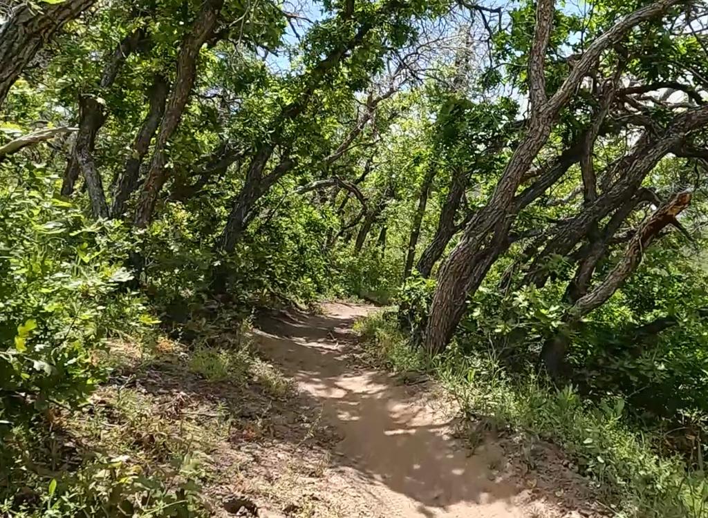
Fork where Trail 51 meets the Dry Canyon Trail, looking west.
Now Trail 51 will descend into Dry Canyon. After crossing the dry creek, fork left downhill.
(You may have heard horrible things about the Dry Canyon trail. Believe
me, they're all true,
but they apply to the part uphill that's uphill from you. See the
Big
Baldy page
Lower Dry Canyon is not bad.)
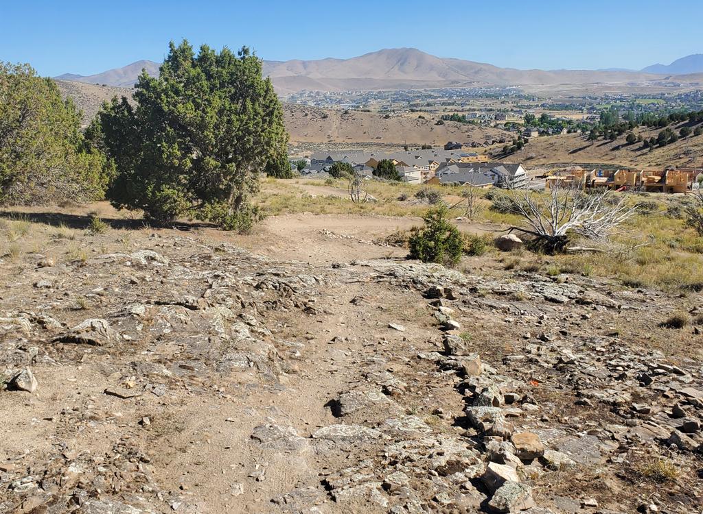
Dry Canyon is a fun downhill at this point. Descend 2.5 miles from the trail fork of Trail 51. Nice payoff.
Dry Canyon is a fun downhill at this point. Descend 2.5 miles from the trail fork of Trail 51. Nice payoff.
At the Dry Canyon parking, turn left (south) for the Bonneville Shoreline Trail's Dry Canyon to Orem Bench section .
You'll spend 1.5 miles southbound on the BST, dropping another 300 vertical feet.
Bottom Line!
Nice ride. And one of the few ways to ride lower Dry Canyon that isn't hateful and ugly.
Bottom Line!
Nice ride. And one of the few ways to ride lower Dry Canyon that isn't hateful and ugly.

Southbound on the Bonneville Shoreline.

Loop map. See other pages for more detailed maps of this area.
Getting there, Orem Bench Trailhead:
Drive towards the mountains on 800 North. At 800 East, turn left and drive north about 1 mile. Immediately past the cemetery, turn right (east) on Cascade Drive just before the Y in the road and drive 1/2 mile, go up 2 short switchbacks, and park just above the small brown building in the paved parking area.
Dry Canyon Trailhead:
Turn east off State Street at 200 South in Lindon, which also happens to be 2000 North for Orem. Keep straight as you approach the mountains. When the road forks, veer left, then keep straight uphill as the road turns to gravel. The parking area is at N 40° 20.52' W 111° 40.62'.
Note! These trails are on Utah Division of Wildlife Resources
land, purchased with sportsmen dollars and set aside as the Orem Bench
Wildlife Management Area specifically to protect Utah's native animals.
Mountain Biking is allowed, but only insofar as it is not harmful to
wildlife. To insure continued access please be respectful to the
landowner by following proper trail etiquette and obeying all posted
rules. Specifically:
1. Do NOT ride these trails during the winter. The area is closed December 1st through April 15th!
Deer will not survive the winter if frequently disturbed.
2. Unauthorized trail-building is strictly prohibited!
3. To reduce erosion and prevent "trenching" of trails, do not ride trails when muddy.
4. Avoid disturbing wildlife, and do not allow your dog to chase animals.
5. You must have a current Utah hunting or fishing license to ride inside the WMA.
Riding resources for this trail:
GPS track files (right-click and "Save as..."):
Multi-track area file (over 50 tracks!)
Large-format topo map for printing: View simple topo
West Provo Canyon area trails topo
Zoomed-in topo of Orem Bench trails (for alternate routes)
Lodging, camping, shops: Links to Provo area resources
GPS track files (right-click and "Save as..."):
Multi-track area file (over 50 tracks!)
Large-format topo map for printing: View simple topo
West Provo Canyon area trails topo
Zoomed-in topo of Orem Bench trails (for alternate routes)
Lodging, camping, shops: Links to Provo area resources
Updated topo map and GPS area file 2016

